Updated 10/26/14
2014

Medal? Yeah, right.
|
The Fall Rim to Rim to Rim
Grand Canyon Trail Run
Grand Canyon, Az
October 3 - 5 th , 2014
|
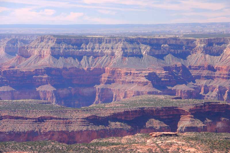
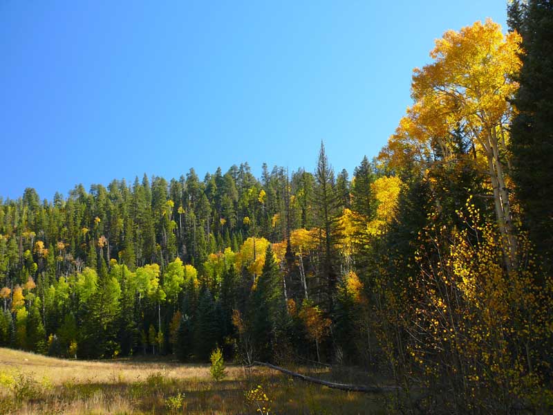
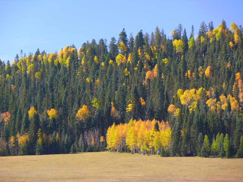
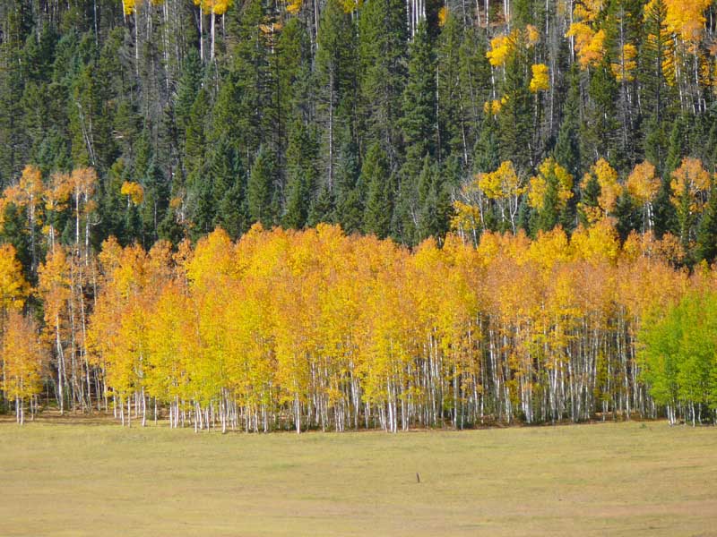
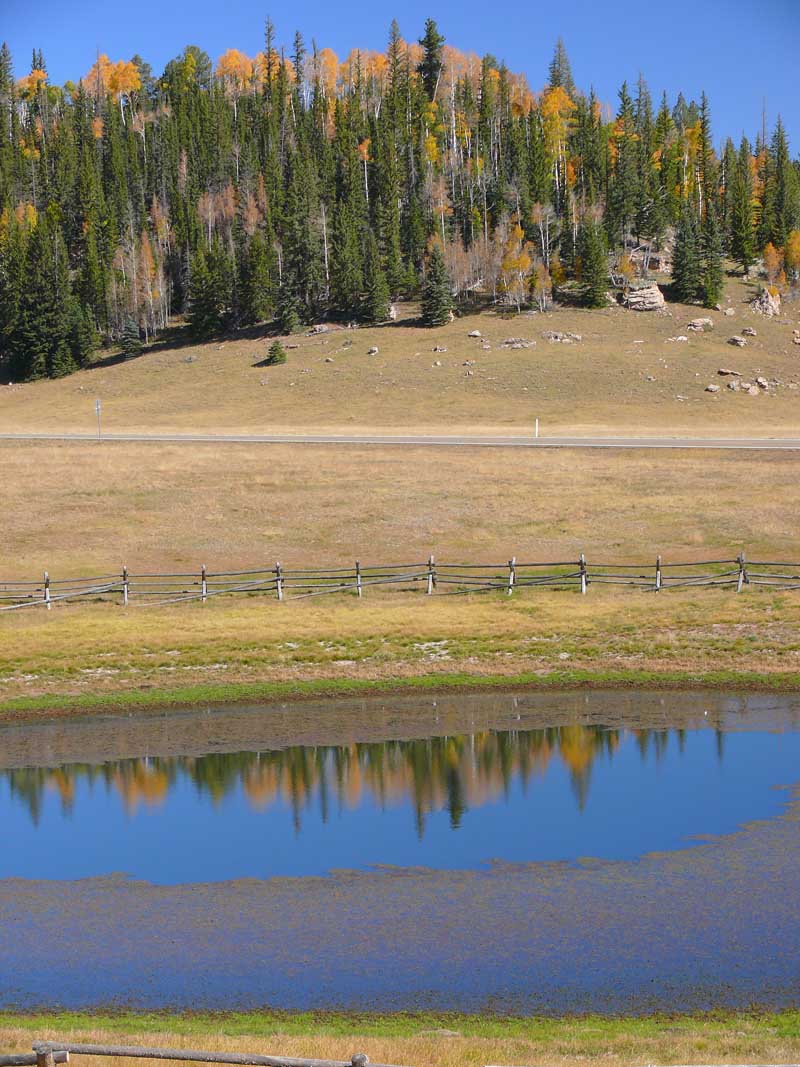
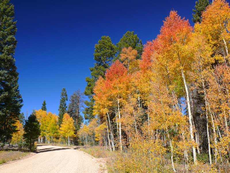
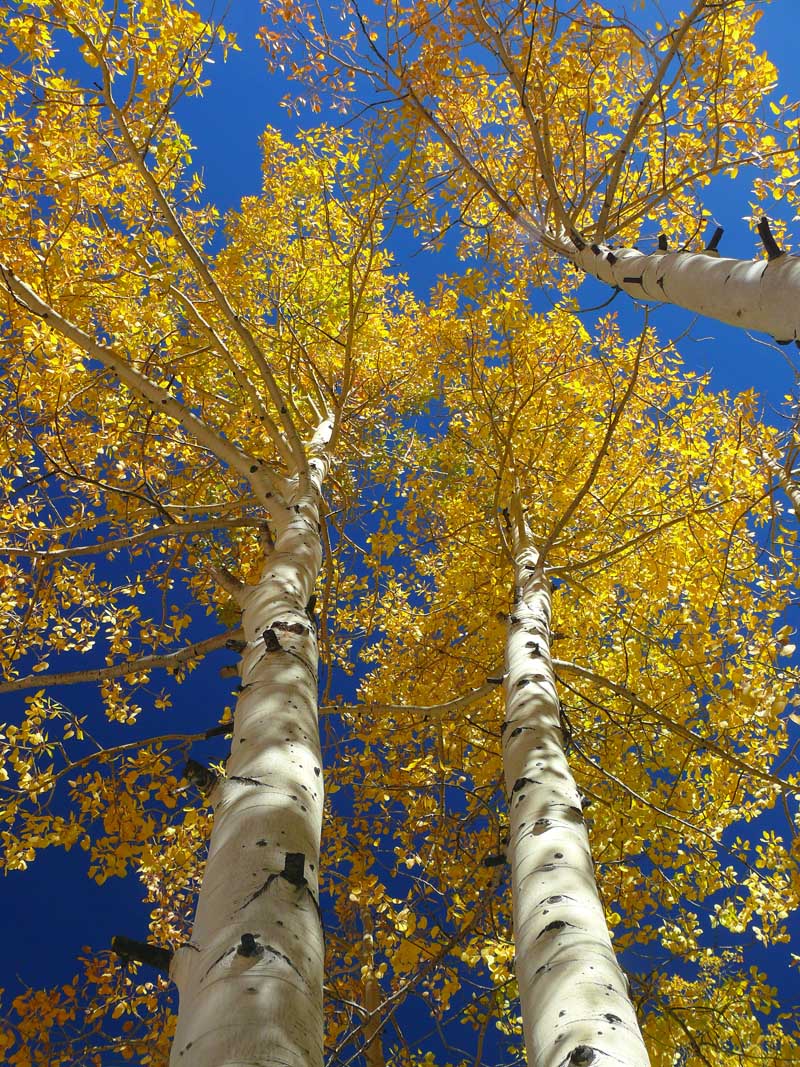
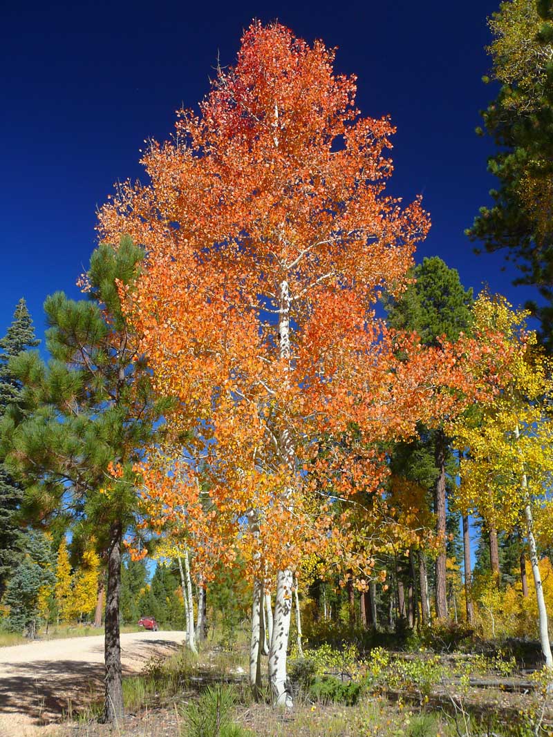
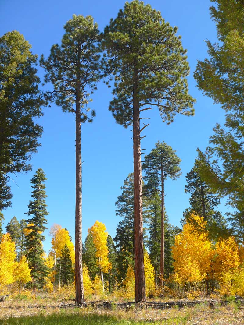
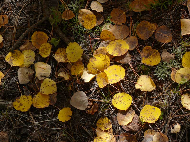
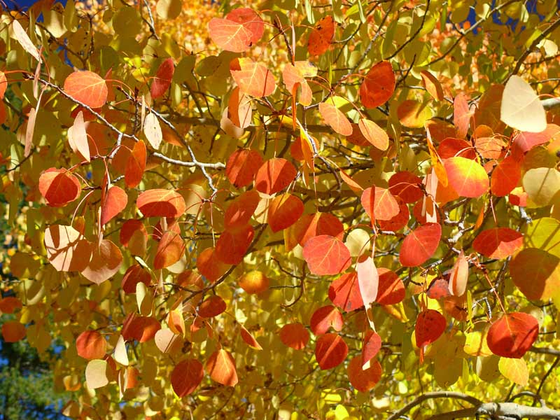
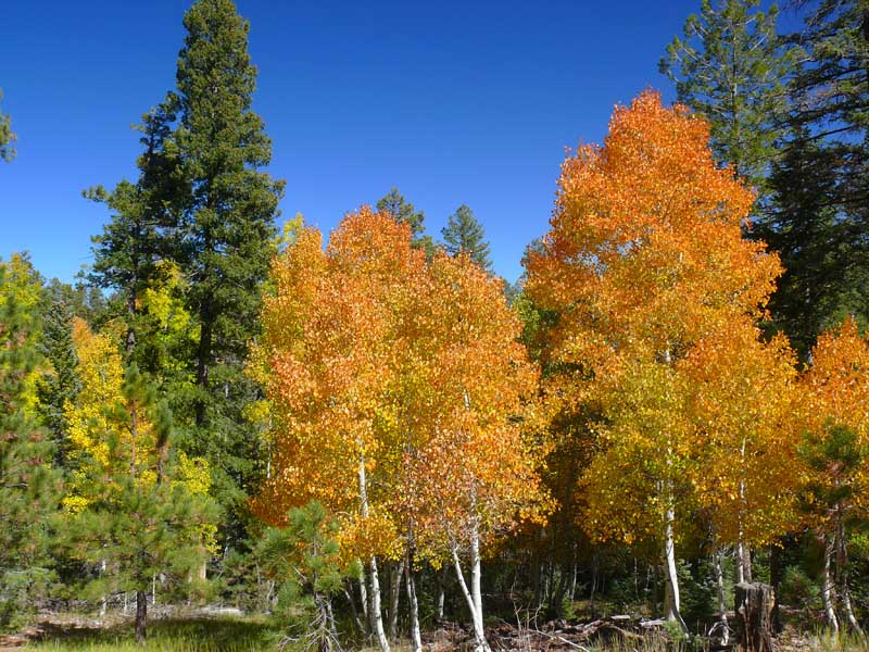
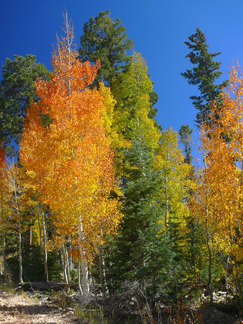
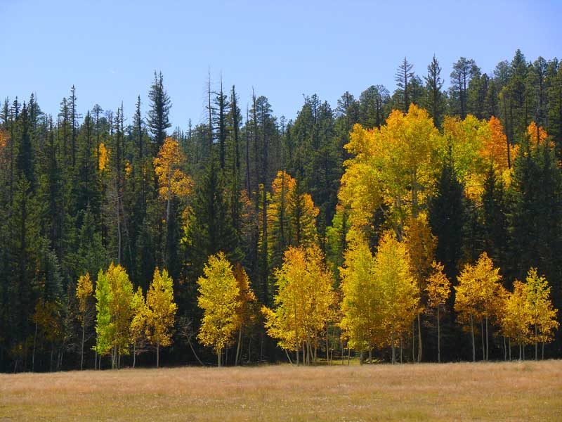
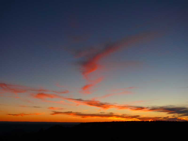
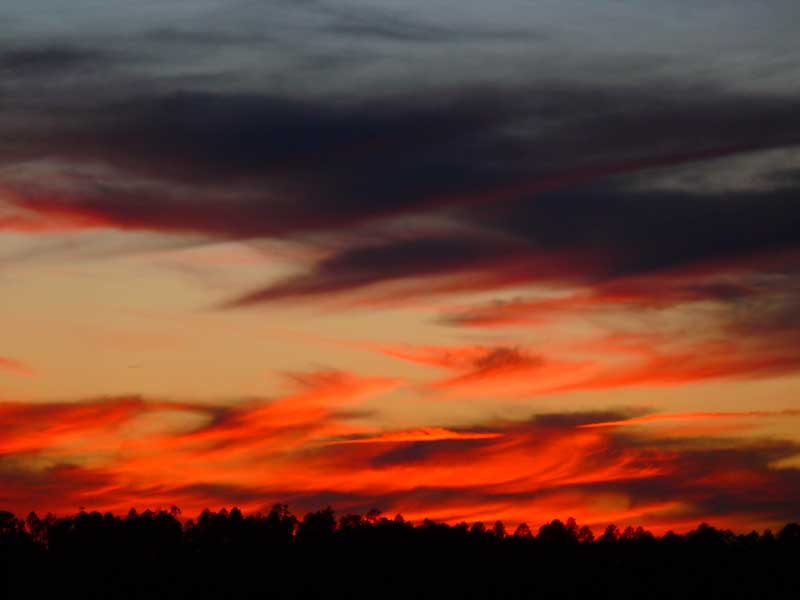
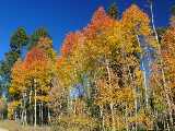 The Fall Colors on
North Rim is our reward
The Fall Colors on
North Rim is our reward
|
|
Fortunately for
all of us this year, congress did not shut down the Grand Canyon
during the week of my Rim to Rim run (Like last year), and we
pulled it off once again in a very smooth manner. For this years
return to the fall Rim to Rim run after a 5 year hiatus, my training
ramp up was much better planned in the months before - such as
a PR tie in both Gaspin in the Aspens 15k, and the Flagstaff
Half Marathon - and it was hoped I would cross the Canyon in
one of the fastest times yet. And by getting the first week in
October again this year, we were assured of a great view of the
fall colors on the North Rim as the aspens turned shades of golden
yellows. We both had a fine time photographing the stunning fall
colors and driving around the area in and around the north Rim.
The weather was awesome, and ALMOST everything went as planned!
The south to north trek took a lot longer than I planned - 9
hours because I didn't eat enough going across, and the last
few miles went very slowly.
Learning from that
experience, I ate constantly - non stop from north rim to south
rim on the return trip, and blasted across the Canyon in the
fastest time ever in all my decades of running across the canyon
- in 6 hours and 59 minutes, from trail head to trail head -
a full 12 minutes faster than last years previous fastest ever
time of 7:11. Here I will now show you a photo pictorial of our
adventures this year, from Dawns excellent macro close ups of
the smallest of natures details with her Panasonic Lumix to my
long lens close ups of the pristine scenery from both Rims with
my rather ancient Canon 10D.
|
|
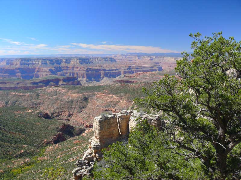
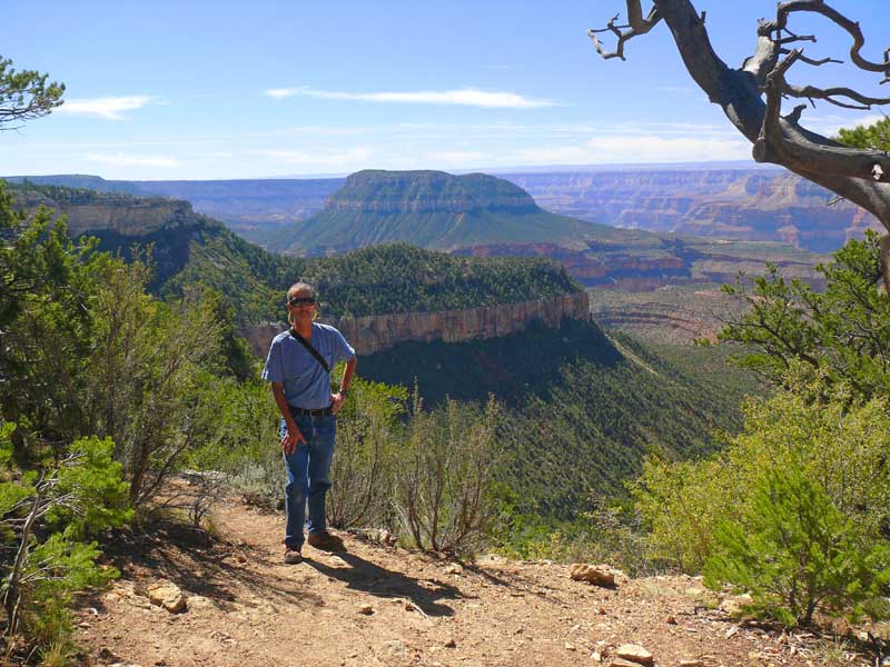
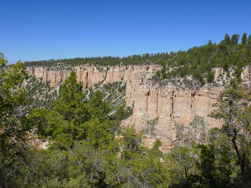
We literally
took hundreds of shots from both Rims and inside the Canyon.
It was very difficult to choose which ones to post here,
but I narrowed it down to some good representative examples of
the breathtaking scenery we put ourselves in.
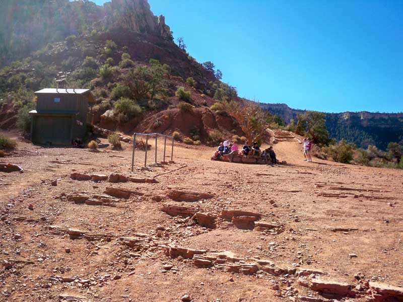
Arriving
on the South Rim:
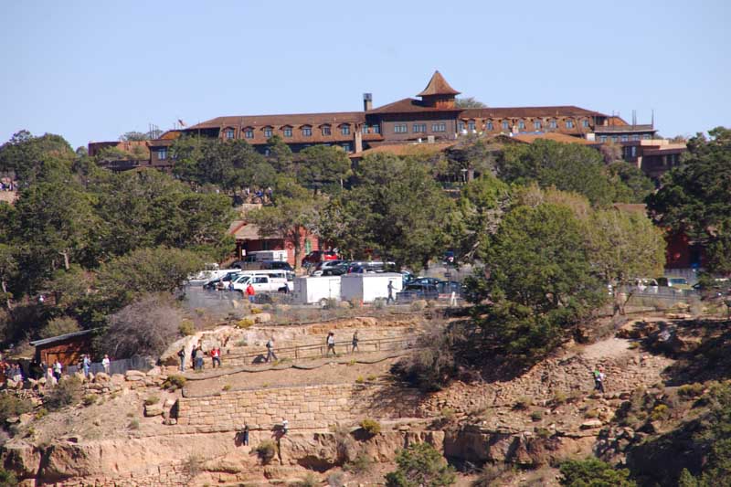
El Tovar
Lodge on the other side of a small side canyon, and the first
few switch backs of the south Bright
Angel
trail with the telephoto:
 Dawn shoots the fossil cliffs with the canyon in the background:
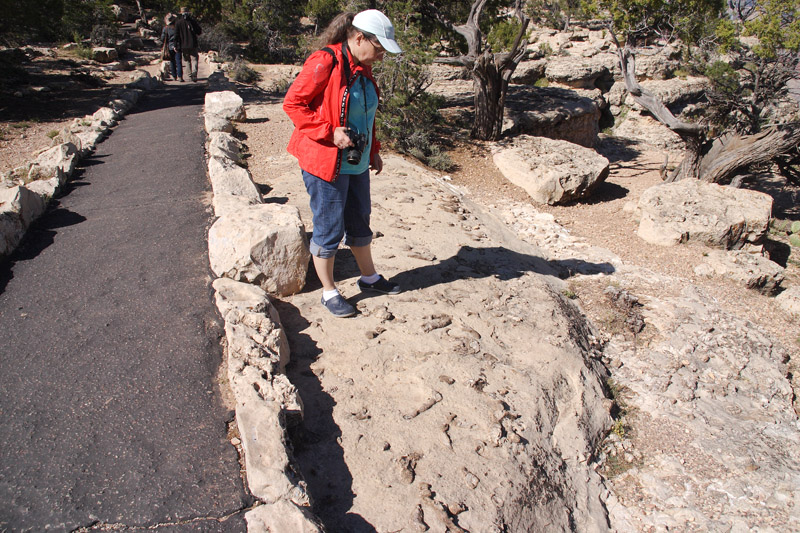
 Dawn inspects the Paleozoic shrimp burrows on the South rim Kaibab formation
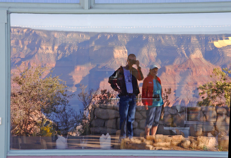
 Our reflection along the pathway behind the Lodge in a window with the canyon in the background. But who took
this picture? ;)
Our reflection along the pathway behind the Lodge in a window with the canyon in the background. But who took
this picture? ;)
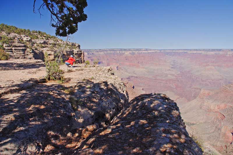
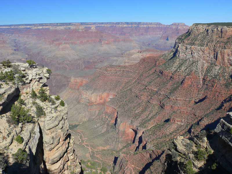
 I have to cross this tomorrow morning! Down this side canyon, across the bottom, and up that fault to the left.
Its approximately 23.5 miles .
I have to cross this tomorrow morning! Down this side canyon, across the bottom, and up that fault to the left.
Its approximately 23.5 miles .
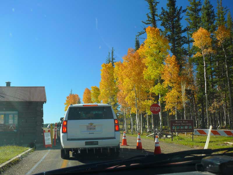
 North Rim after 1st Crossing
Here Dawn is entering the North Rim entrance after driving hundreds of miles around the east end of
the Canyon to get to the other side.
North Rim after 1st Crossing
Here Dawn is entering the North Rim entrance after driving hundreds of miles around the east end of
the Canyon to get to the other side.
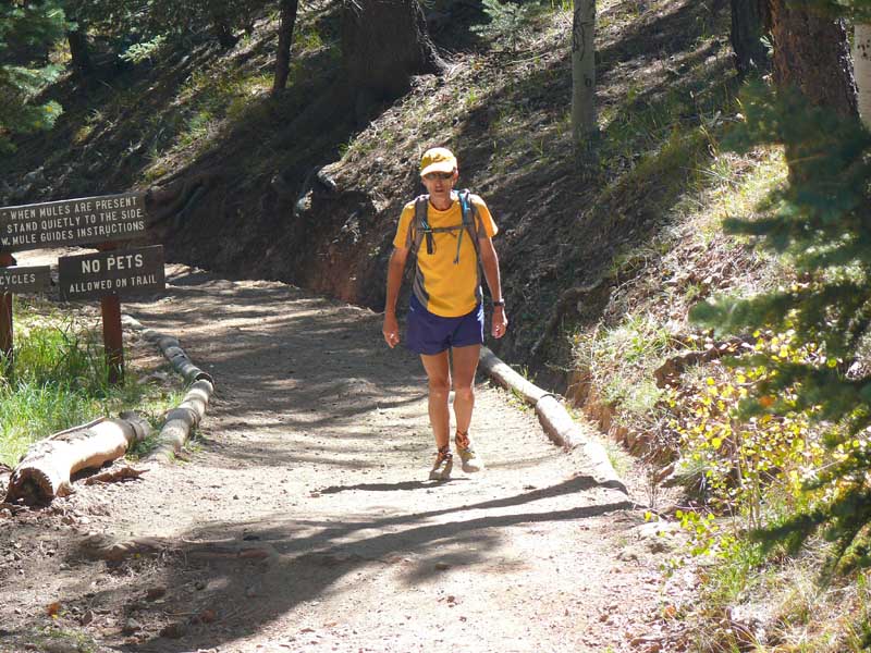
 Feel my pain in the last burst of energy as I take the final steps to the top of the trail head...
 The view back the way I came with a telephoto lens
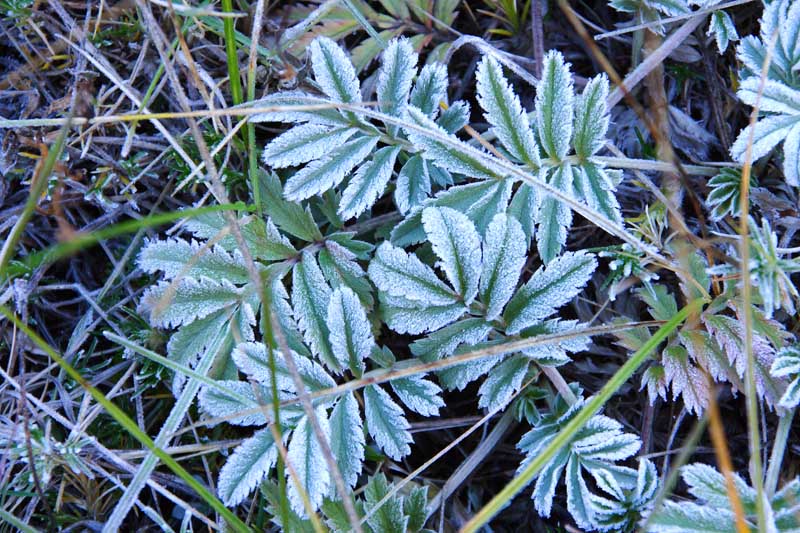
 Here are a few shots I took with my 10D of the scenery on the north Rim.
Morning frost on the plants.
Here are a few shots I took with my 10D of the scenery on the north Rim.
Morning frost on the plants.
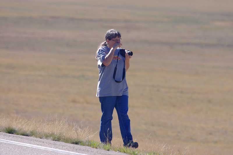
 Dawn contemplates her next shot?
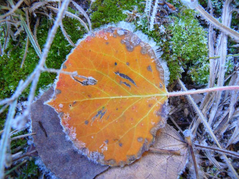
 The remaining shots are Dawn's with her Panasonic:
Frosty leaf
The remaining shots are Dawn's with her Panasonic:
Frosty leaf
 Fall Colors in the Aspens. Altitude varies from 8300 feet at the trail head, to 8800 feet at the park entrance.

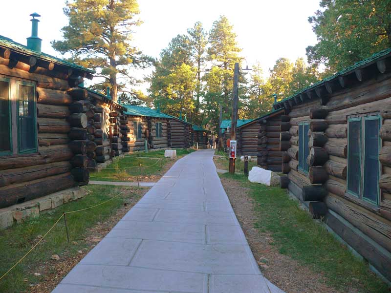
 The Pioneer cabins we stay at on the North Rim near the Lodge.
 Rim to Rim - North to South Run: 3:55 am - 10:54 am
For all of these images, I used my Kodak mini cam. It does not do well in the dim morning light, so many
of the first shots are dark and not too clear. When I started it was totally dark with stars above and got lighter about
45 minutes later. About an hour into the run I could start taking a few dim images...
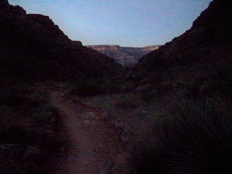
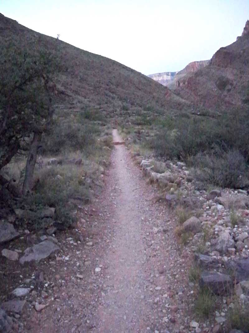
First light on the trail looking due south toward the South Rim 20 miles in the distance.
Rim to Rim - North to South Run: 3:55 am - 10:54 am
For all of these images, I used my Kodak mini cam. It does not do well in the dim morning light, so many
of the first shots are dark and not too clear. When I started it was totally dark with stars above and got lighter about
45 minutes later. About an hour into the run I could start taking a few dim images...
First light on the trail looking due south toward the South Rim 20 miles in the distance.
 First sun light on the South Rim, but not for me for a while!
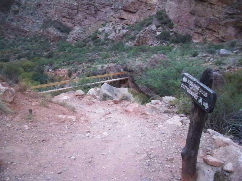
 About half way to the bottom, the bridge to Ribbon Falls. I just passed Cottonwood Camp (about 2h running)
 Very rough trail ahead, slippery and steep.
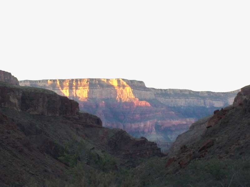
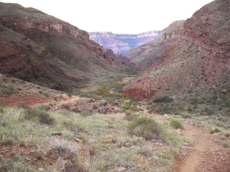 First shafts of sun on the South Rim. Getting closer now.
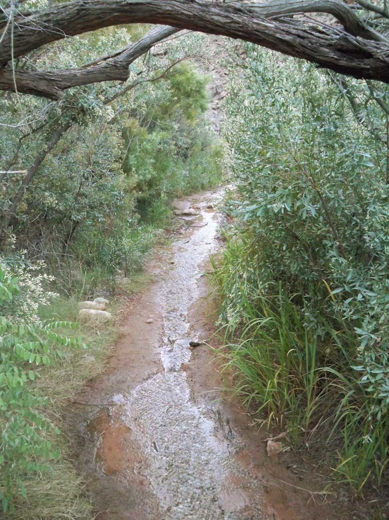
 The trail here was a river - covered with water from the flows from recent monsoon rains.
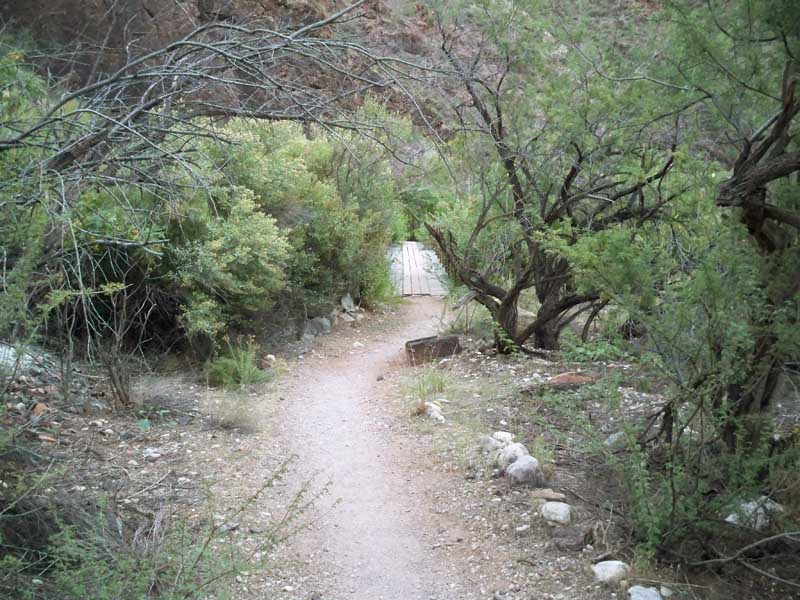
 Coming up on the beaver dam, the bridge over the muck and cattails is just ahead.
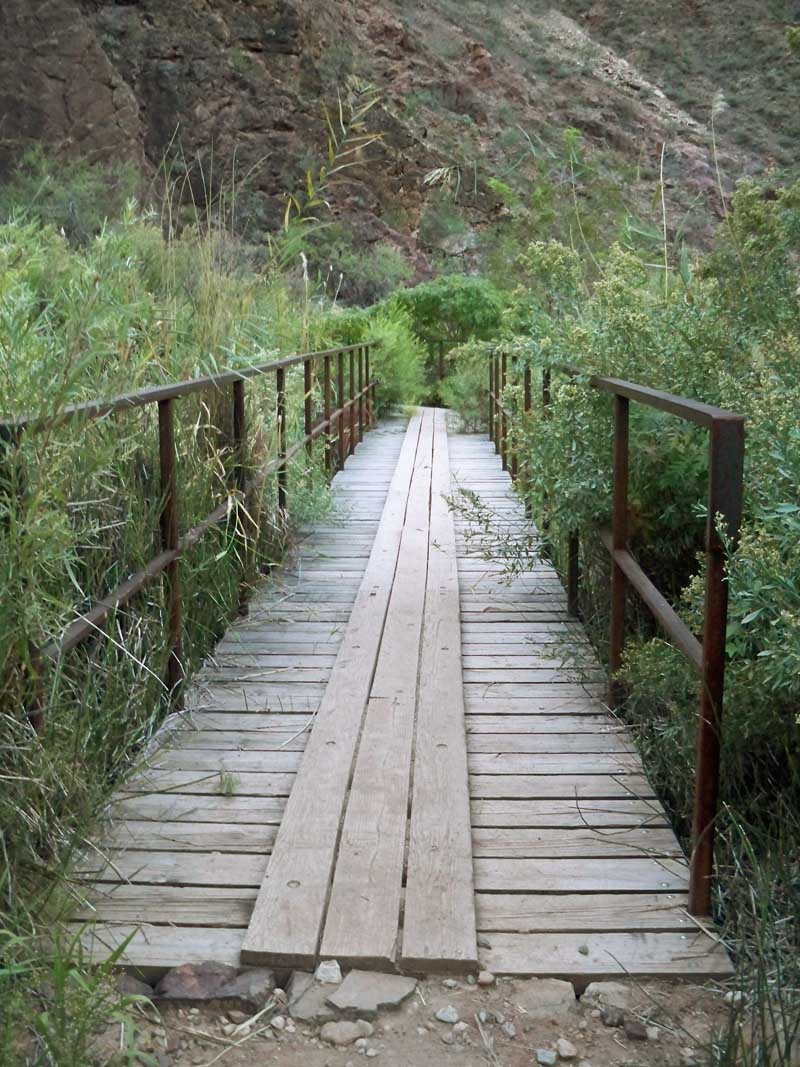
 Crossing the bridge over the beaver dam
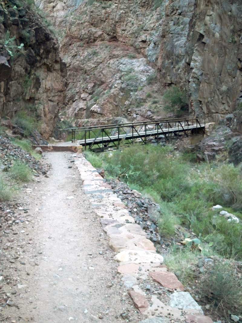
 One of several bridges over Bright Angel Creek. Back and forth we go over the water to the bottom.
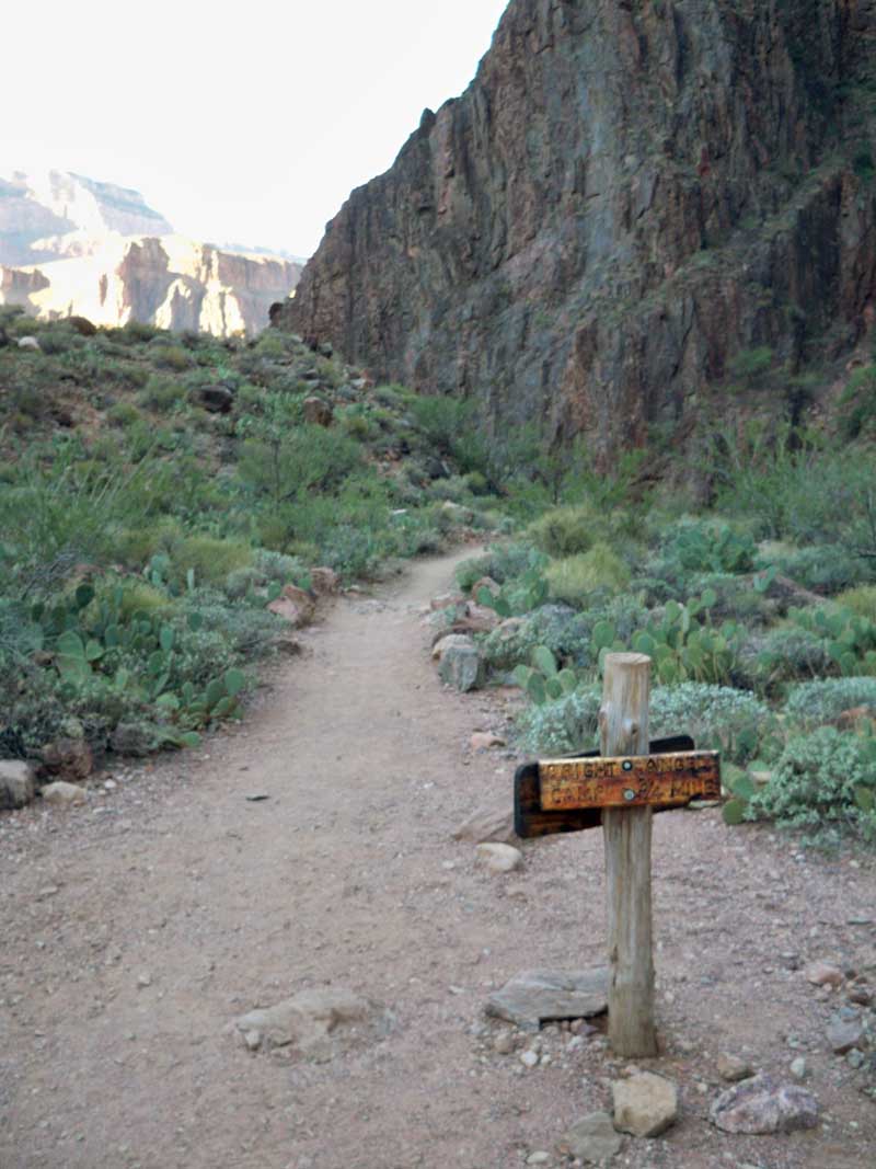
 The sign I always like to see - "Bright Angel Camp 3/4 mile" This is the first part of Phantom Ranch.
3 hours so far...
The sign I always like to see - "Bright Angel Camp 3/4 mile" This is the first part of Phantom Ranch.
3 hours so far...
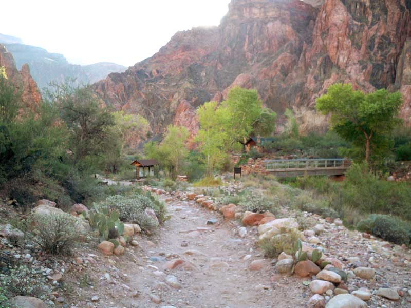
 Finally - Phantom Ranch! 3h 15 minutes to here.
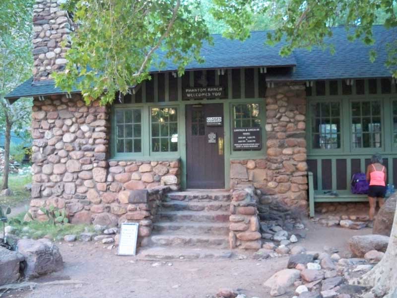
 The dining hall and store at Phantom. Is anyone awake yet?
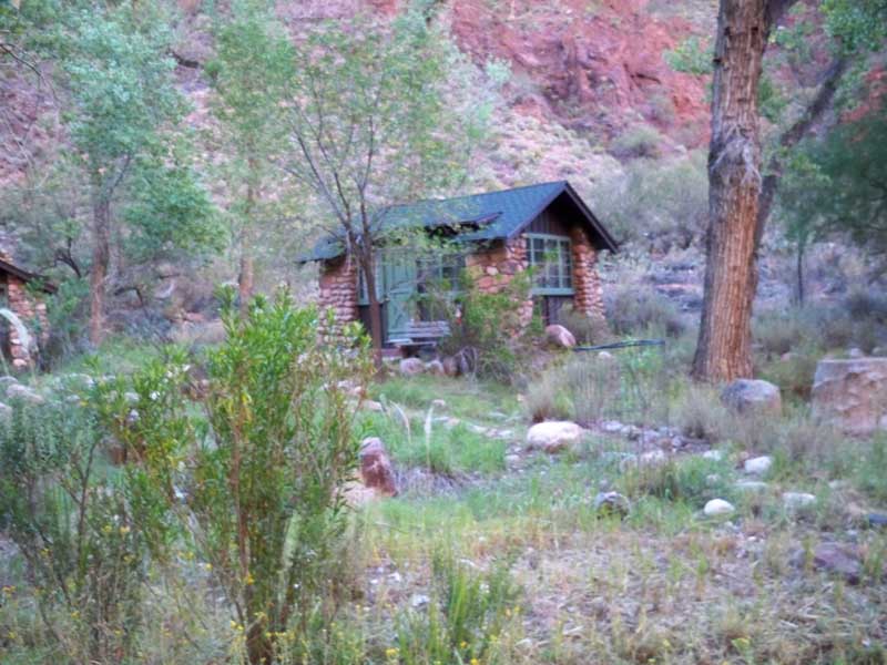
 Small cabins at Phantom you can rent.
 Time to leave Phantom, it was just a blur as I zipped by. Here you pass the bridge that takes you to
South Bright Angel Trail, which also goes to the South rim and is much smoother. And 2 miles longer.
Time to leave Phantom, it was just a blur as I zipped by. Here you pass the bridge that takes you to
South Bright Angel Trail, which also goes to the South rim and is much smoother. And 2 miles longer.
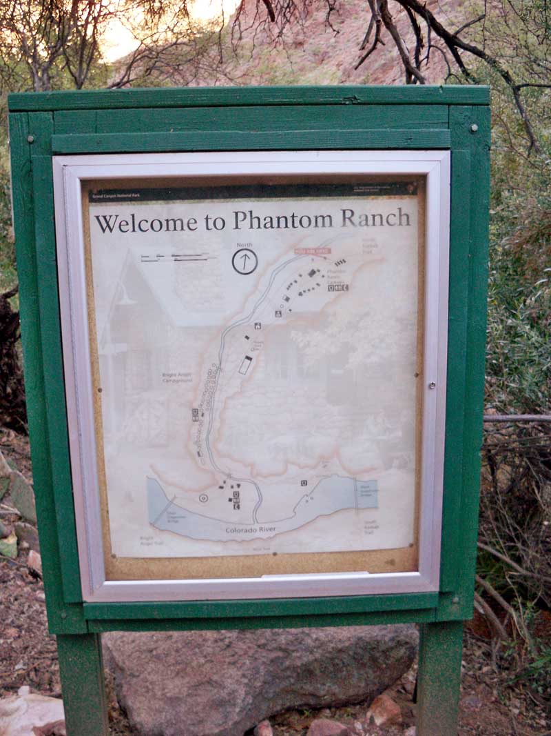
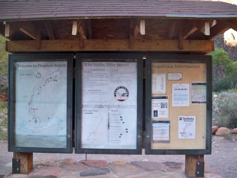
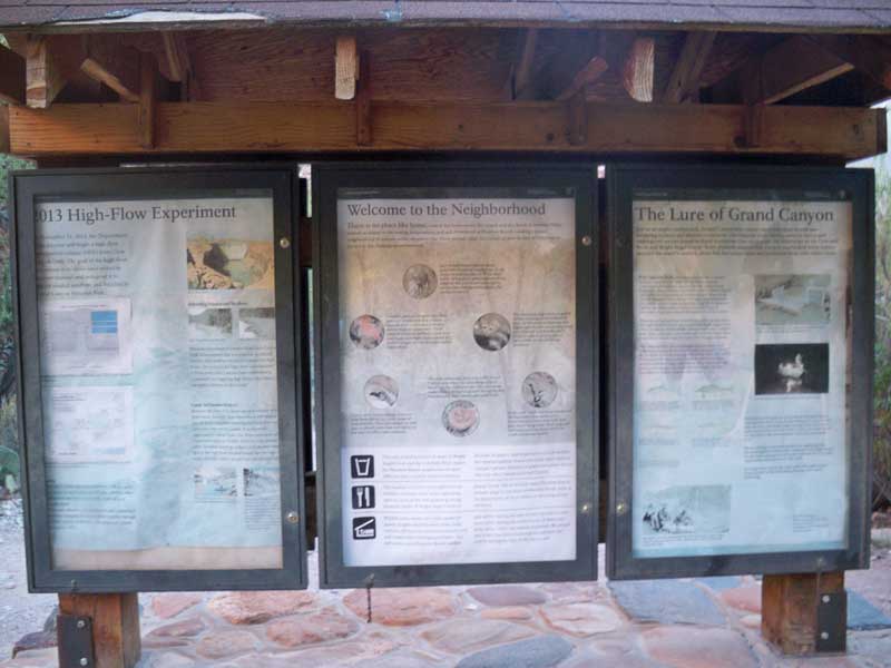
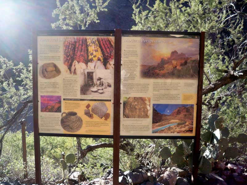
 Passing the info board now, here is what is on it.
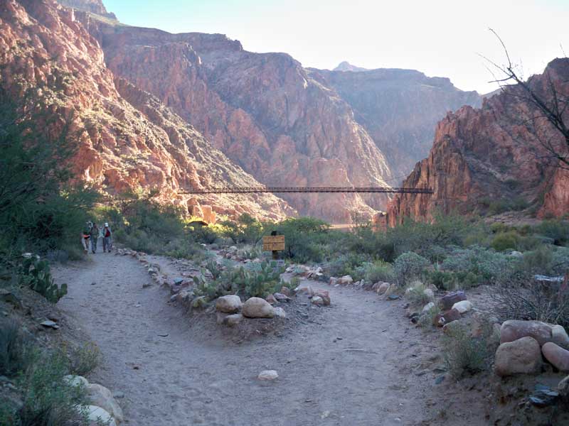
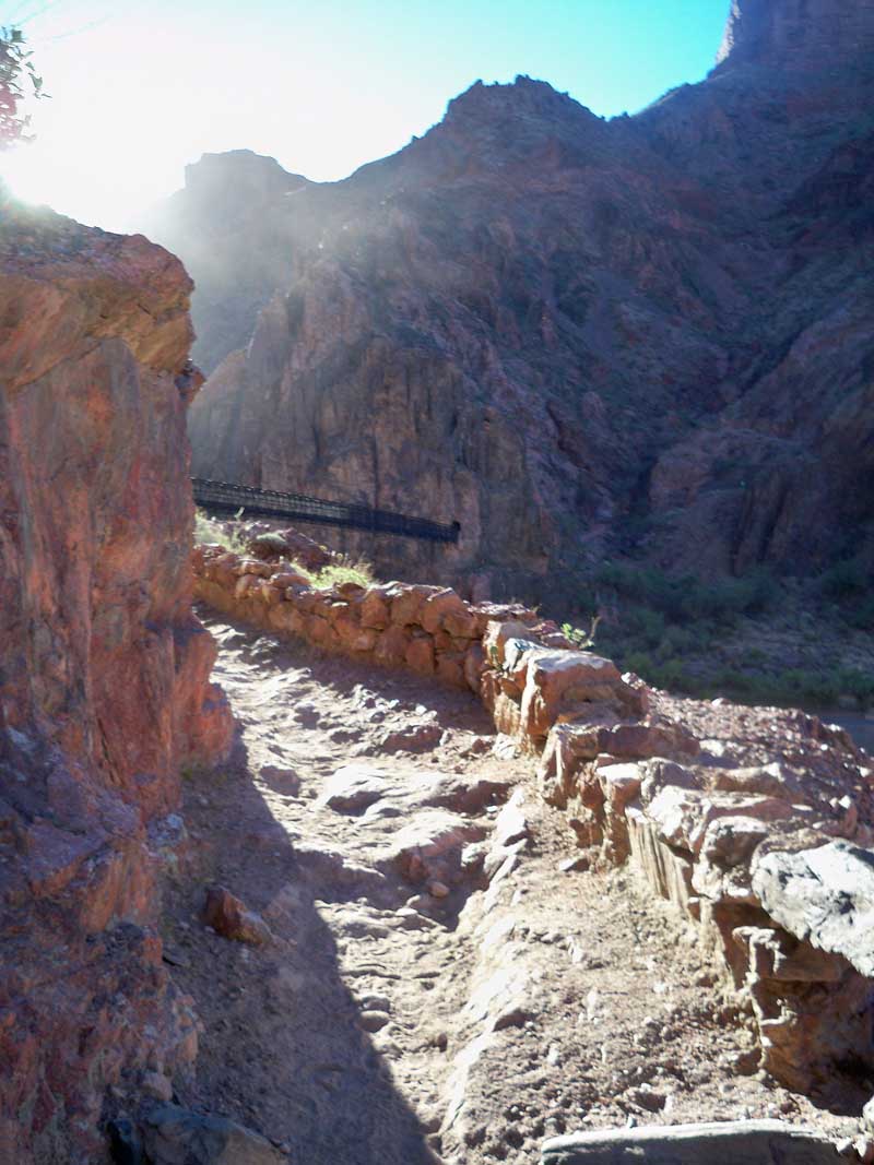
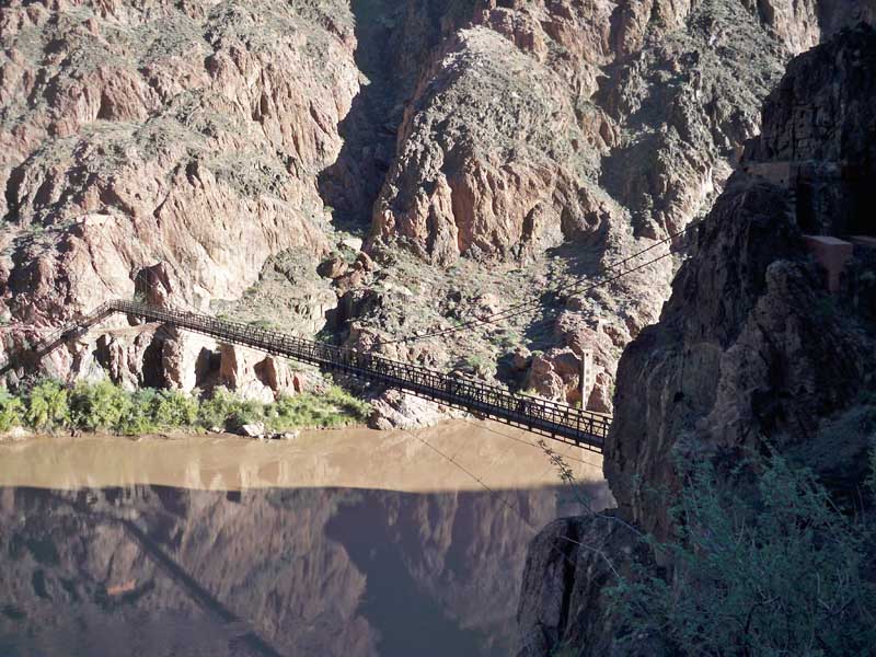
 Black bridge - the crossing point to get back to South Kaibab trail.
 Going up the ramp to the bridge.
 Just around the corner...
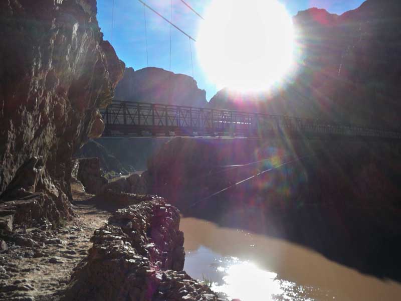 The view of the river as you enter the bridge.
 I love running across this part - so cool over the Colorado River!
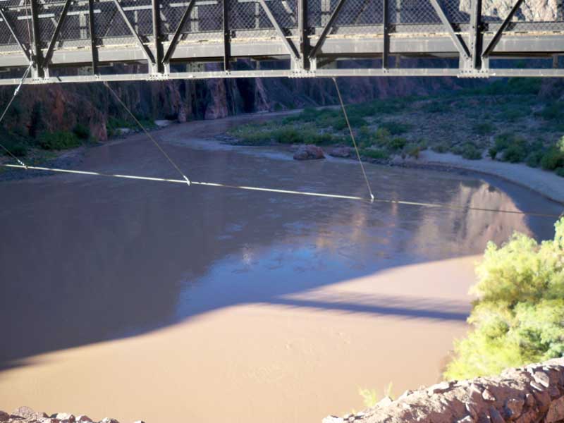
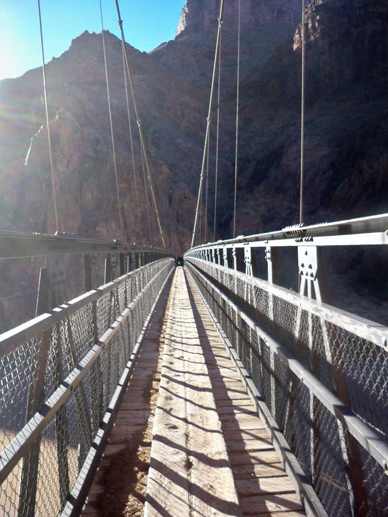 About halfway I shot this one looking over the river. I spent way too much time taking pictures.
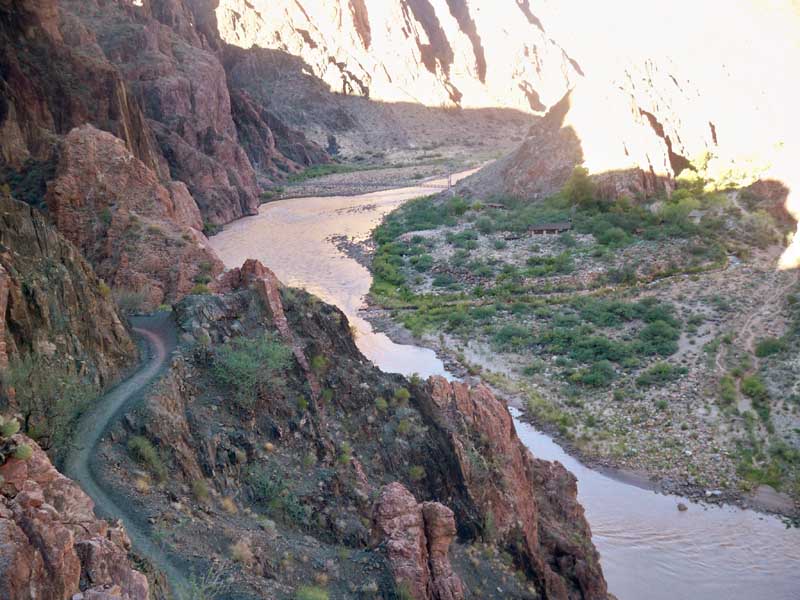
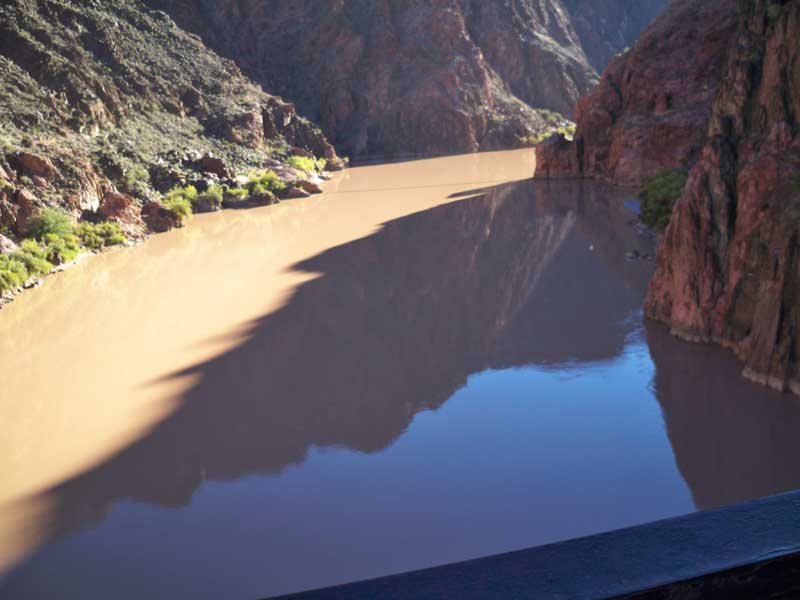 After 4 hours, this is where I am, on the other side of the river, looking back towards Black Bridge.
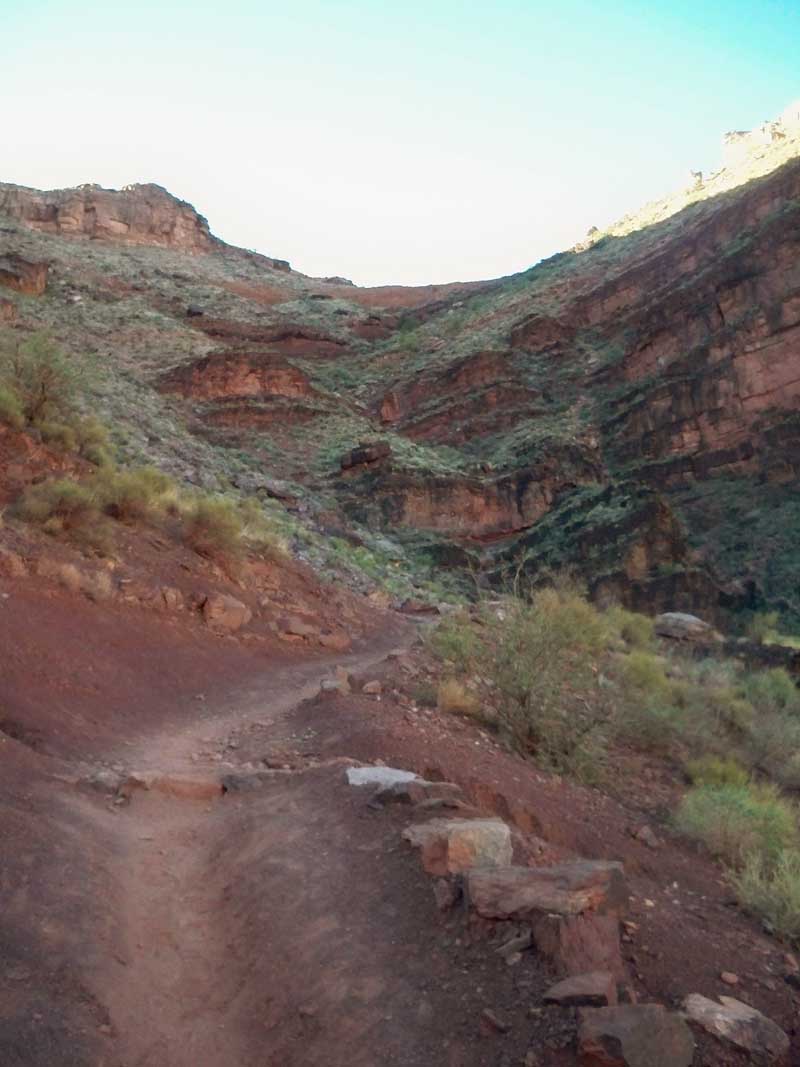
 VERY steep now, must get out of the dark inner gorge. Mainly power hiking up the extreme slopes to the top
of this section.
VERY steep now, must get out of the dark inner gorge. Mainly power hiking up the extreme slopes to the top
of this section.
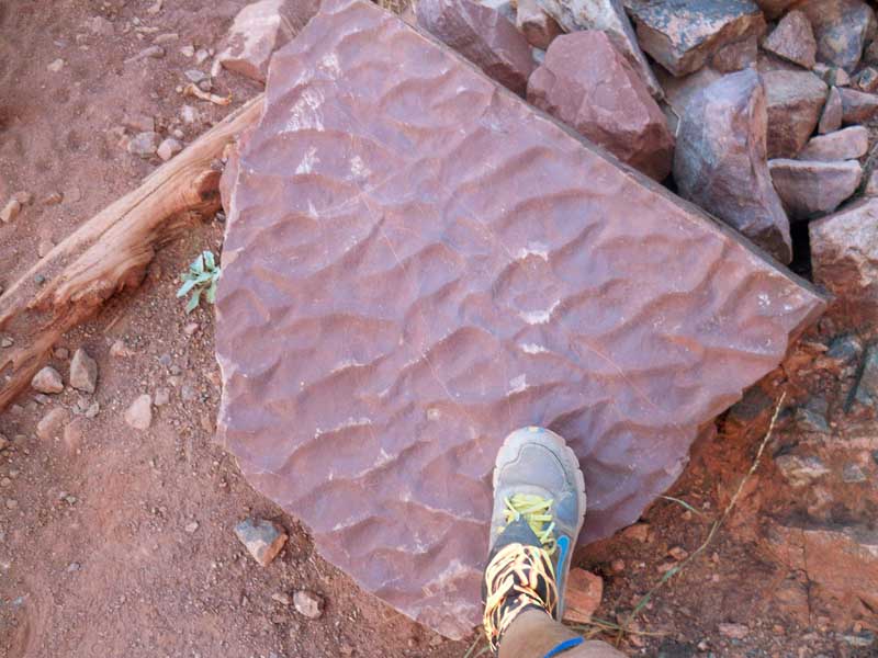
 A slab of Hakati Shale, which is 1 billion years old, and is a fossil mud flat. Here we can see some wave
ripples from that time.
A slab of Hakati Shale, which is 1 billion years old, and is a fossil mud flat. Here we can see some wave
ripples from that time.
 Steep up hill through the Hakati Shales.
 Finally out of the inner gorge! here I am trying to keep ahead of the mules which are also going up.
 Killer hike up ahead, up the steep mudstone cliffs.
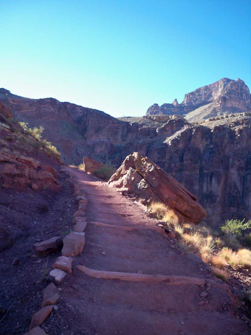
 I can do some running here on the flats but not too many down hills at this point!
 Finally - at the Tipoff, the top of the inner gorge. I am in the Bright Angel shale now, loaded with trilobite
fossils and worm burrows in rock that is dated at 510 million years old.
Finally - at the Tipoff, the top of the inner gorge. I am in the Bright Angel shale now, loaded with trilobite
fossils and worm burrows in rock that is dated at 510 million years old.
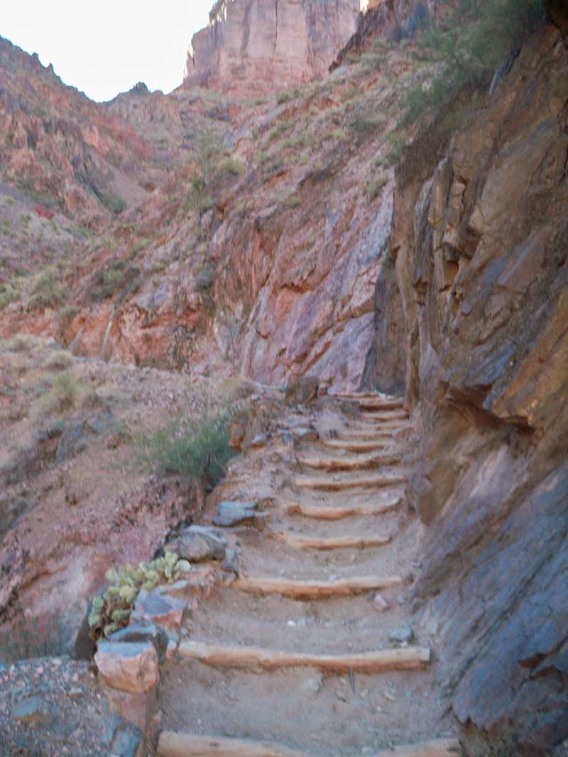
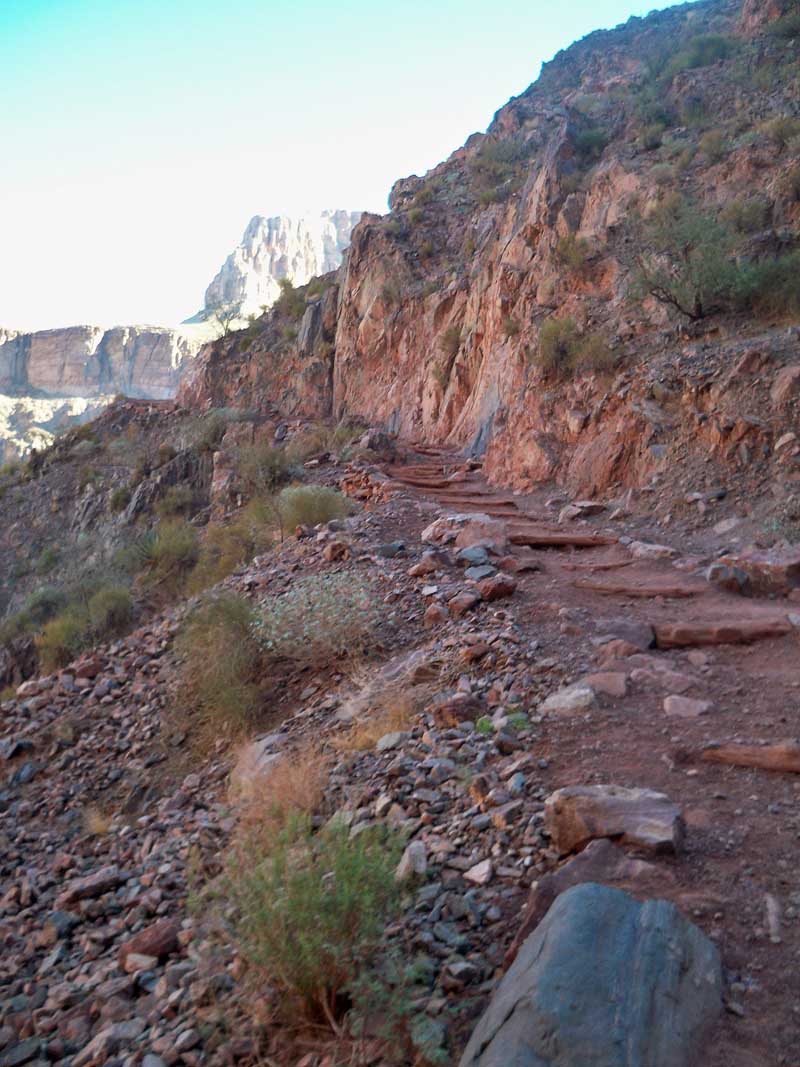
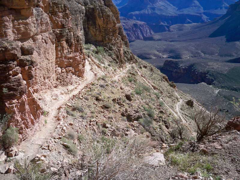
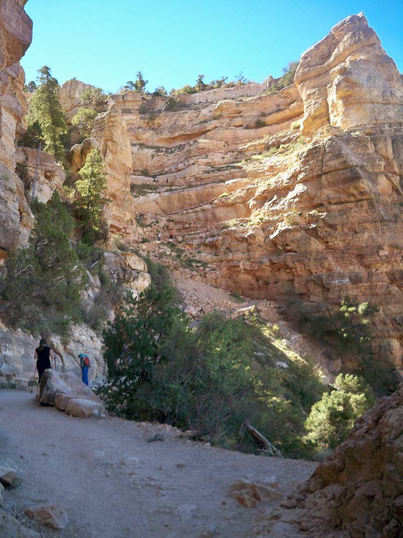
 Grueling switch backs in the steep and rocky Redwall:
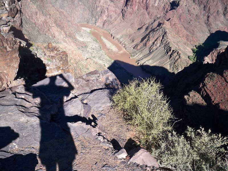
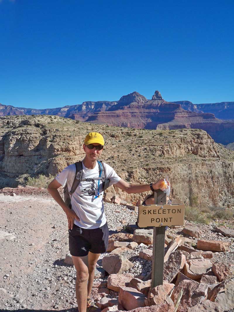
 At the top of the worst part - through the Redwall limestone at Skeleton Point. 5 hours now.
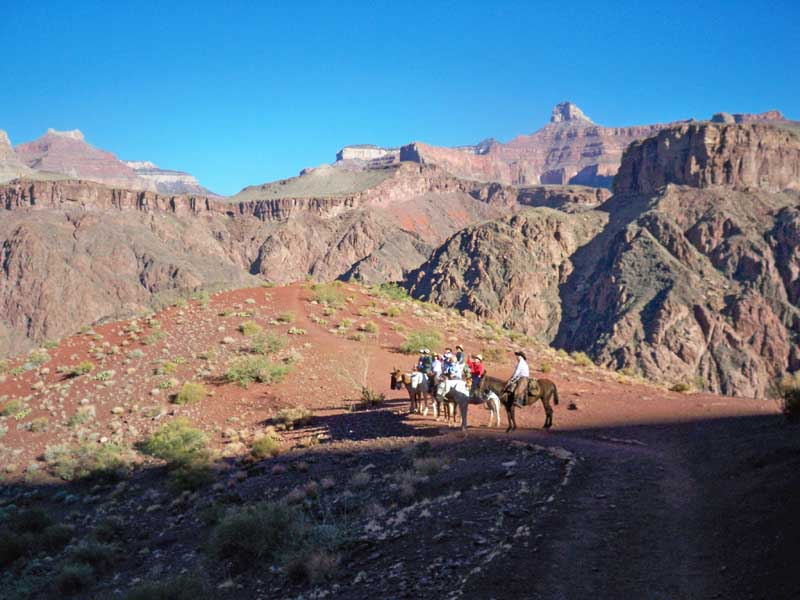
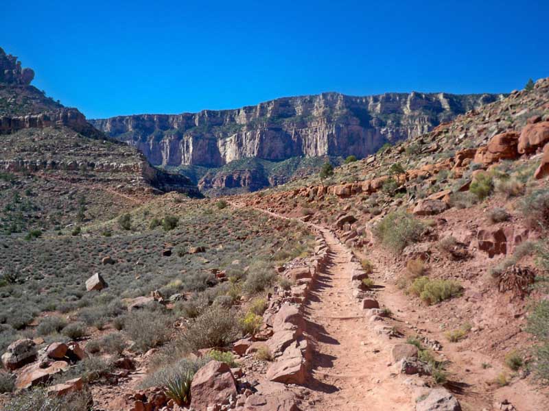
 After we top Skeleton point we are in the Supai red beds. This Permian shale is mostly smooth trails followed
by tons of steep up hill stair steps. I ran for quite a while in this stuff - until I got to the giant stair steps!
After we top Skeleton point we are in the Supai red beds. This Permian shale is mostly smooth trails followed
by tons of steep up hill stair steps. I ran for quite a while in this stuff - until I got to the giant stair steps!
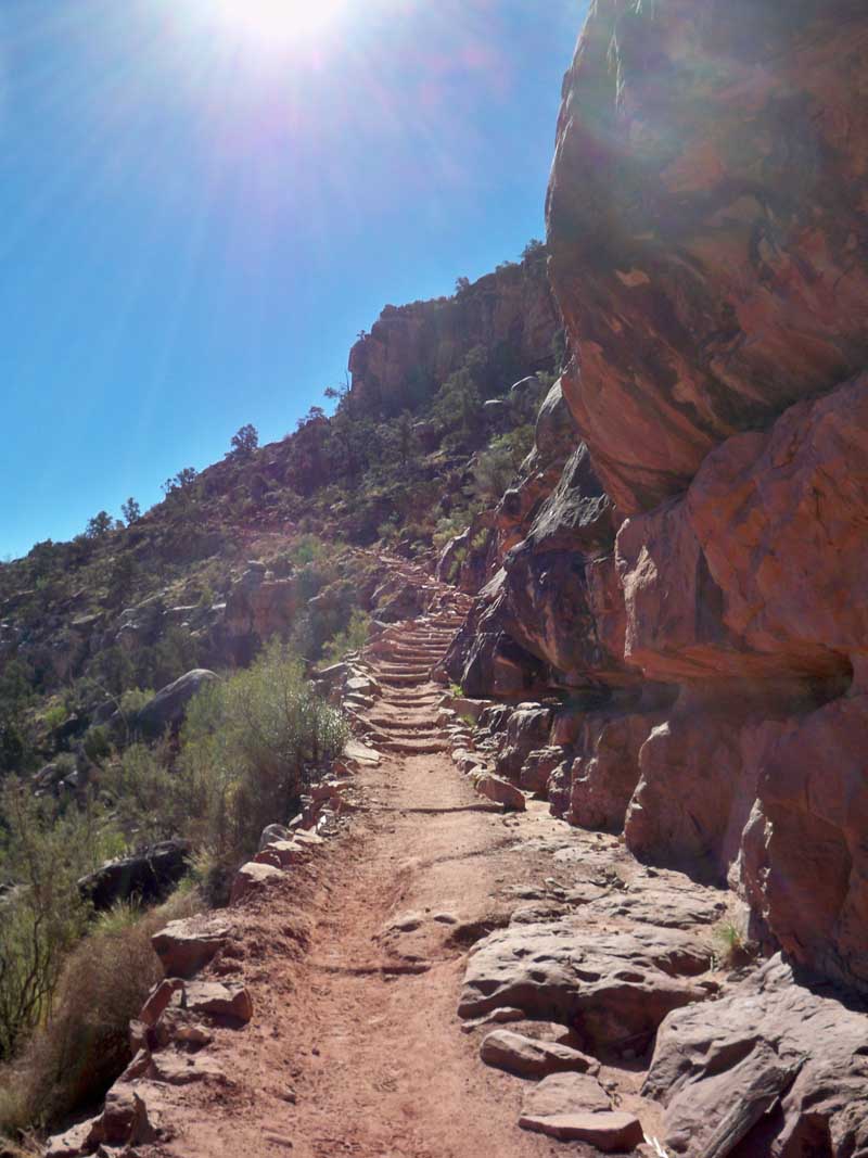
 And here they are, relentless uphill torture for miles ahead. The goal is Cedar ridge at the top of this
formation.
And here they are, relentless uphill torture for miles ahead. The goal is Cedar ridge at the top of this
formation.
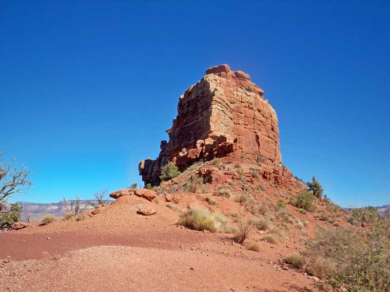
 O'Neil butte in the Supai. Lots of mammal-like reptile trackways in this stuff - 280 million years old.
 Yoohooo! Cedar Ridge. Coming down from the top it takes 18 minutes. Going back up it will be an hour!
6 hours now.
Yoohooo! Cedar Ridge. Coming down from the top it takes 18 minutes. Going back up it will be an hour!
6 hours now.
 After you get past the Hermit shale, you get into the Toroweap, then the Kaibab which goes to the top.
it is brutal - and you can see the long torturous switch backs you have to blast up to make it to the top. I have
half an hour left to go. Oh man!
After you get past the Hermit shale, you get into the Toroweap, then the Kaibab which goes to the top.
it is brutal - and you can see the long torturous switch backs you have to blast up to make it to the top. I have
half an hour left to go. Oh man!
 I made it to the trail head in 6h 59m this year. And if I hadn't spent so much time taking pictures and socializing with
all the other runners - Well, you know. ;)
I made it to the trail head in 6h 59m this year. And if I hadn't spent so much time taking pictures and socializing with
all the other runners - Well, you know. ;)
|
HOME
|