Updated 11/22/07
 Please
click on thumbnails for larger view!
Please
click on thumbnails for larger view!
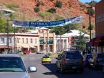
2007
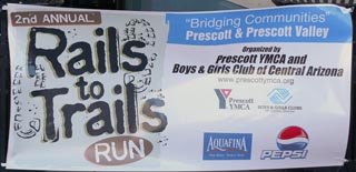
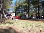
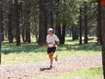
Rails to Trails Run, Prescott Az.
November 17, 2007
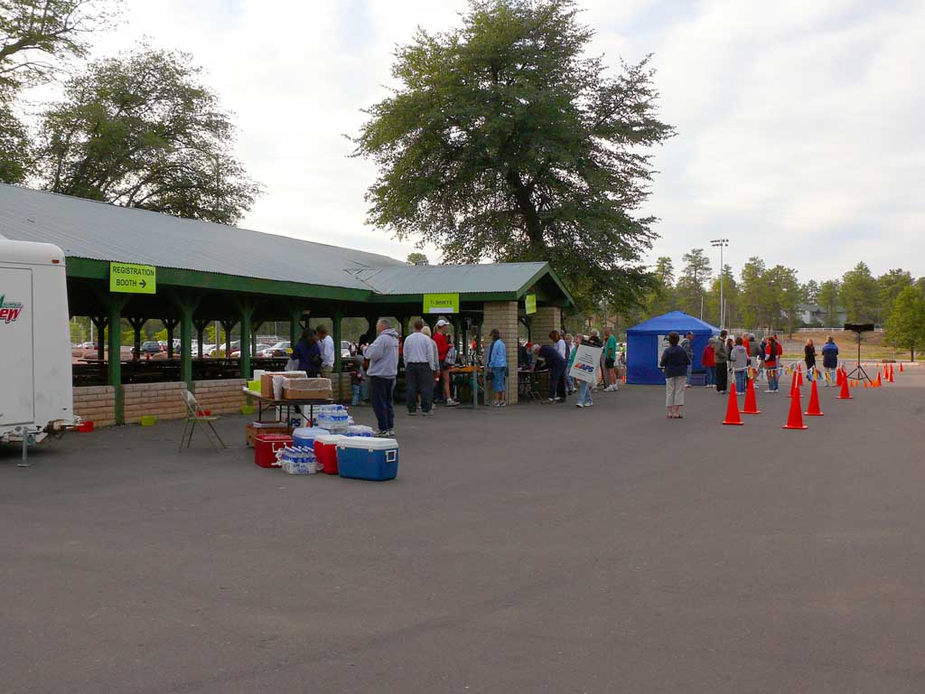
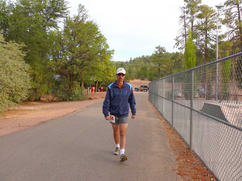
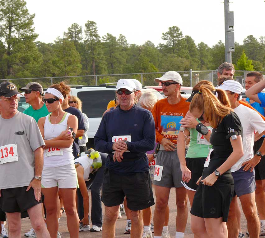
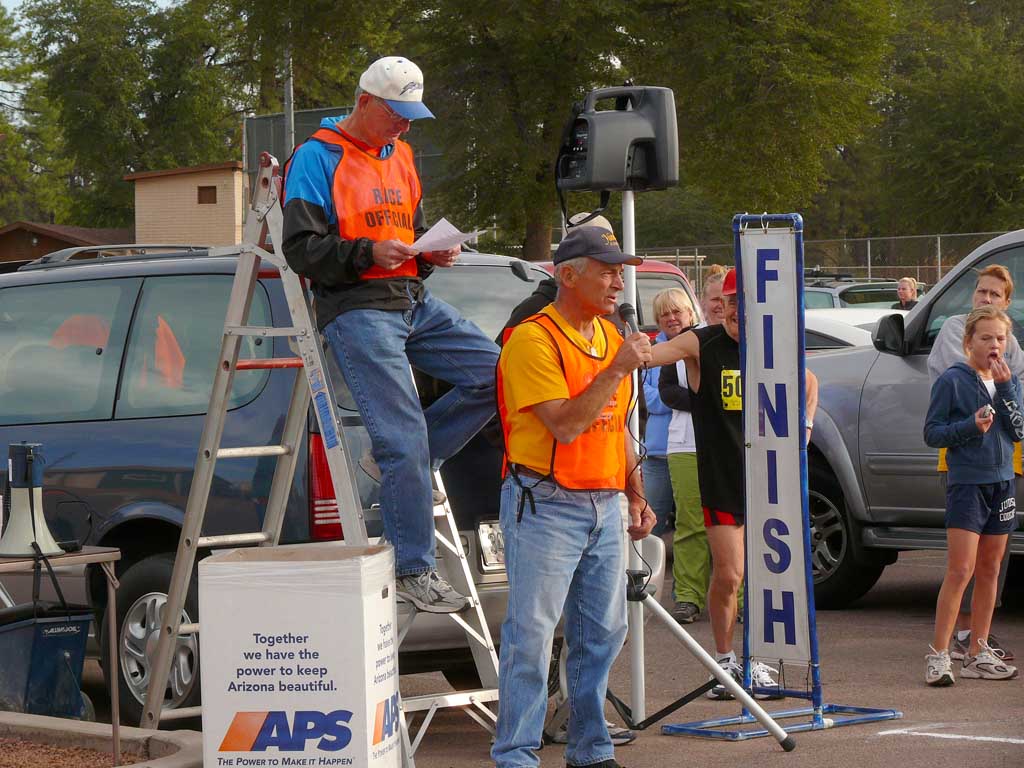
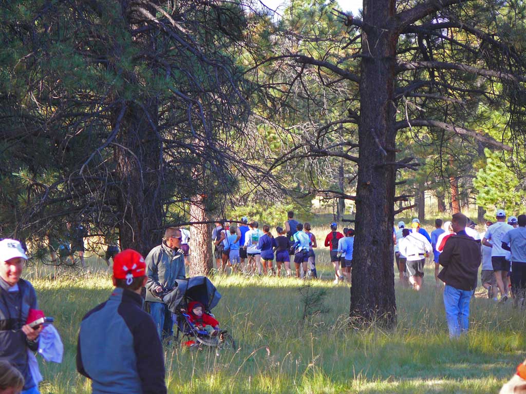
The second annual 11 mile Rails to Trails Run is hosted by the Prescott YMCA and Boys and Girls club, which benefits from
the proceeds of this run. This is the same sponsors as the famous Whiskey Row Marathon held each year in May, which is
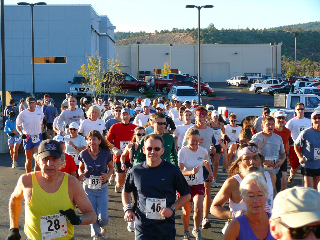
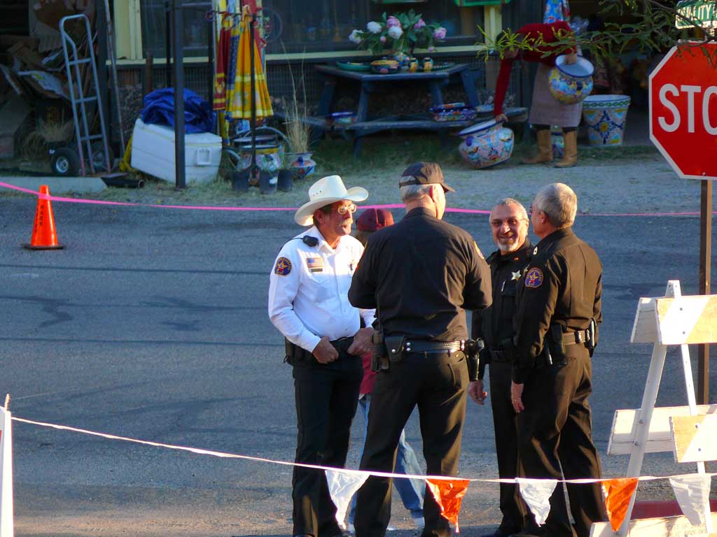
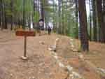
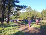
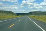
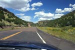
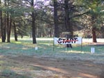
nationally recognized. The event started at York Motors at 8am, and with about 200 runners we proceeded past the police escort
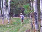
down a very steep paved road down to a side road, which let to the entrance of the Iron King rail way bed. There we ran past
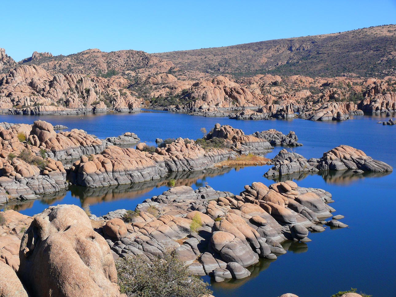
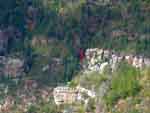
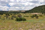
a stunningly beautiful Watson lake, amongst giant boulders of granite, and islands in the lake (see photo). After many miles along the
railway bed, which had been converted to a smoothed dirt trail walkway, we emerged behind a housing development, onto some back paved
streets and back along a side road to the Tims Toyota Center where we crossed the finish line! We got an official "Rails to Trails" T shirt,
and some very neat stuff in the goody bag. (Schwagg)
 |
 |
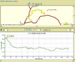
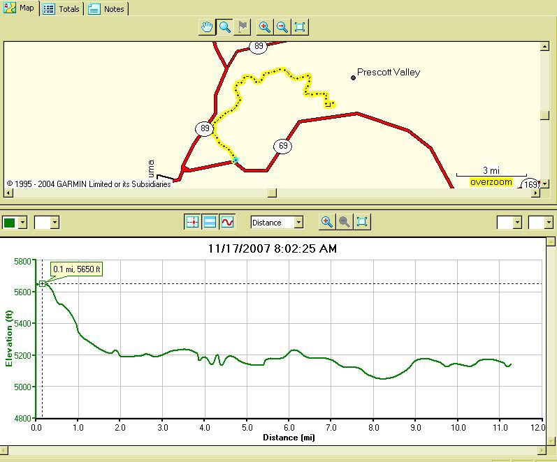
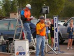
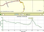
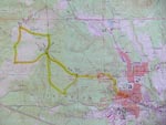
Here is the wrist GPS
data from the run. You
can see the steep down
hill at the beginning, and
the up and down undulations
for the rest of the run.
|
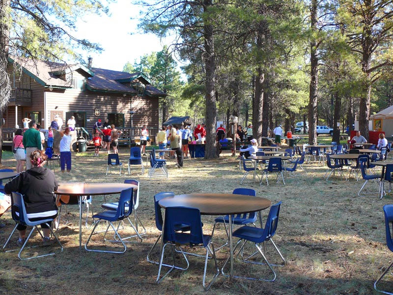
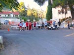
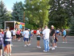
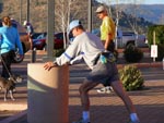 Stretching before the
Run
Stretching before the
Run
|
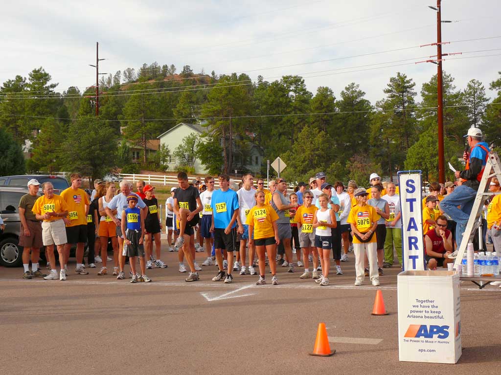
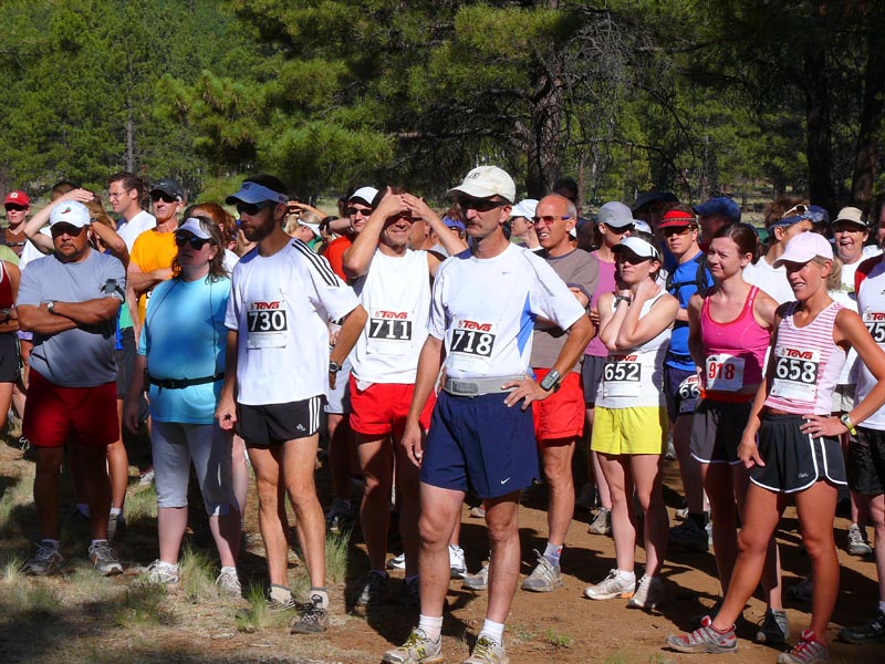
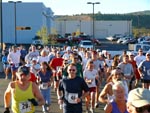
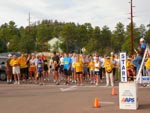
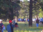
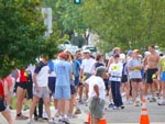
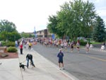
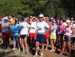
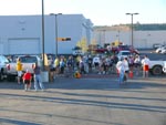 Gathering at the
Start Line
Gathering at the
Start Line
|
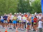
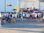 Getting final
directions from
the officials
Getting final
directions from
the officials
|
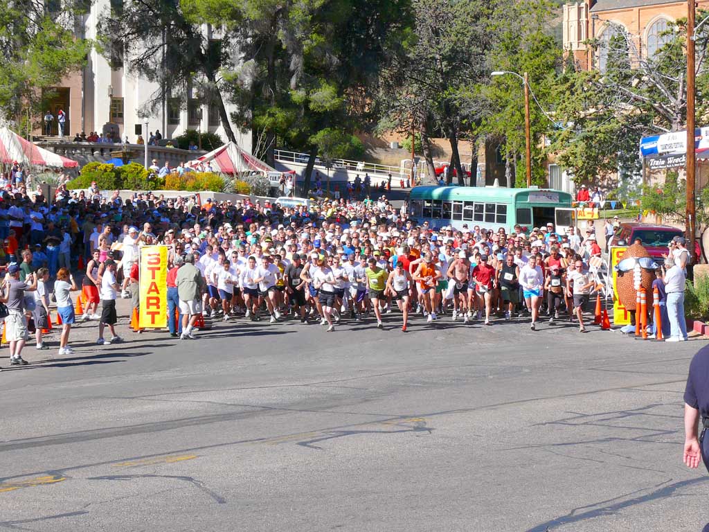
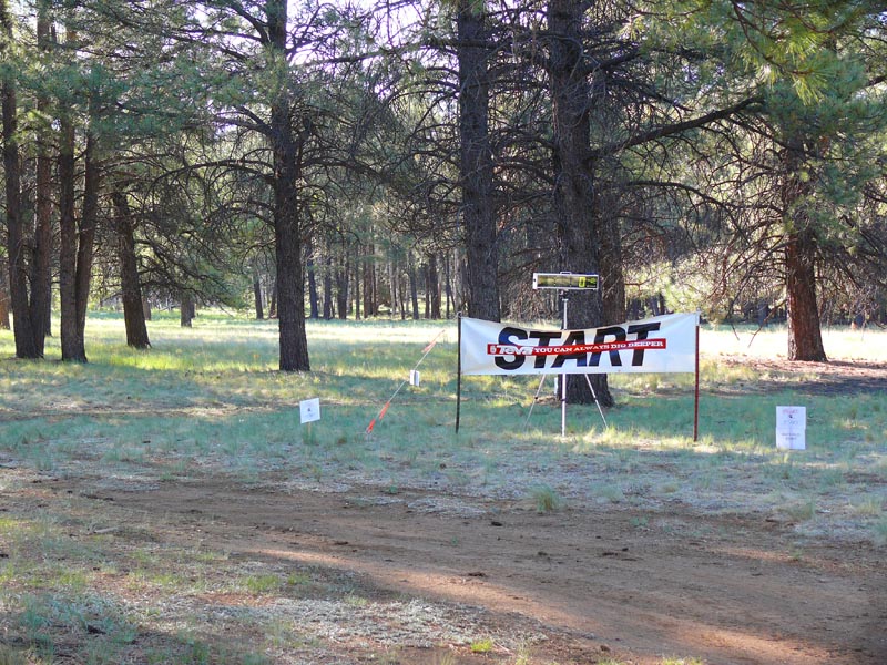
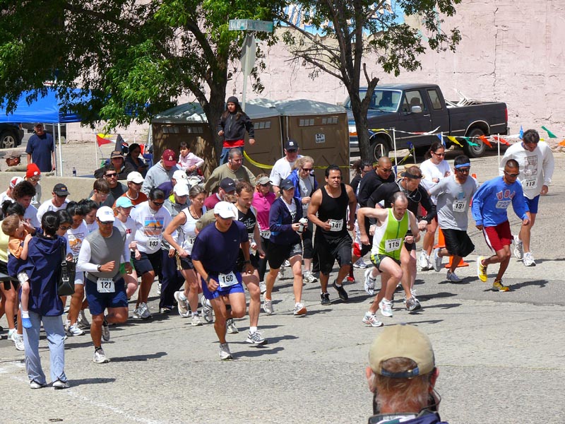
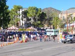
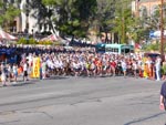
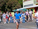
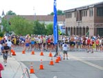
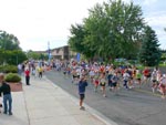
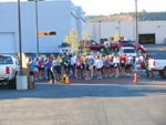 And were off!
|
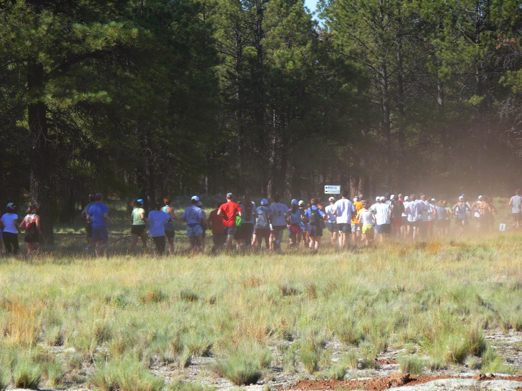
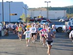 Start of
race
Start of
race
|
 Start 2
|
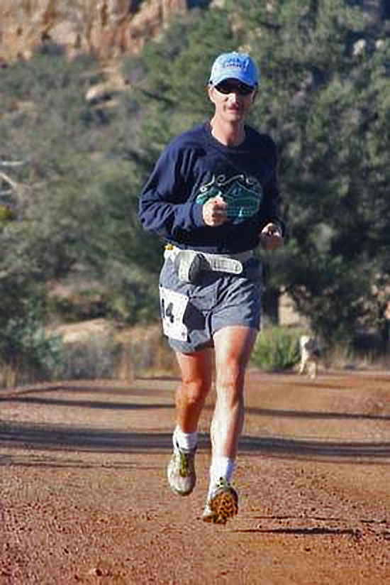
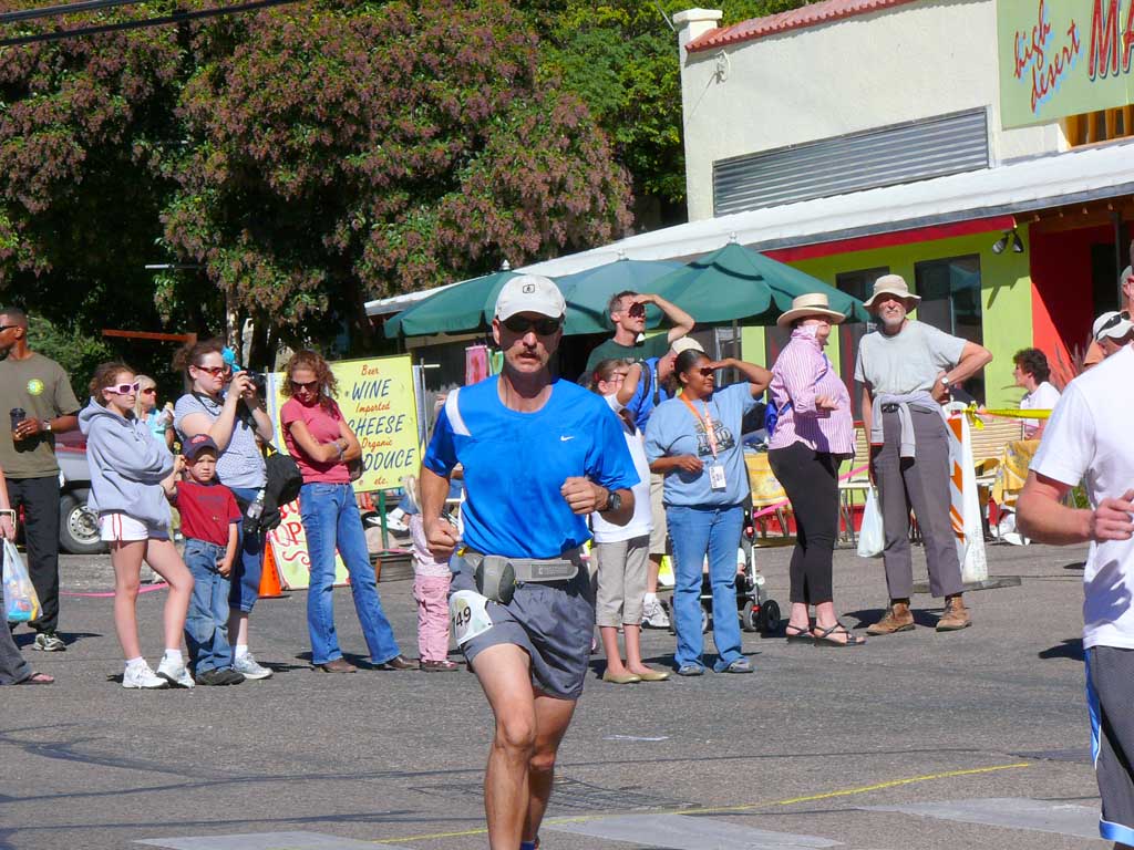
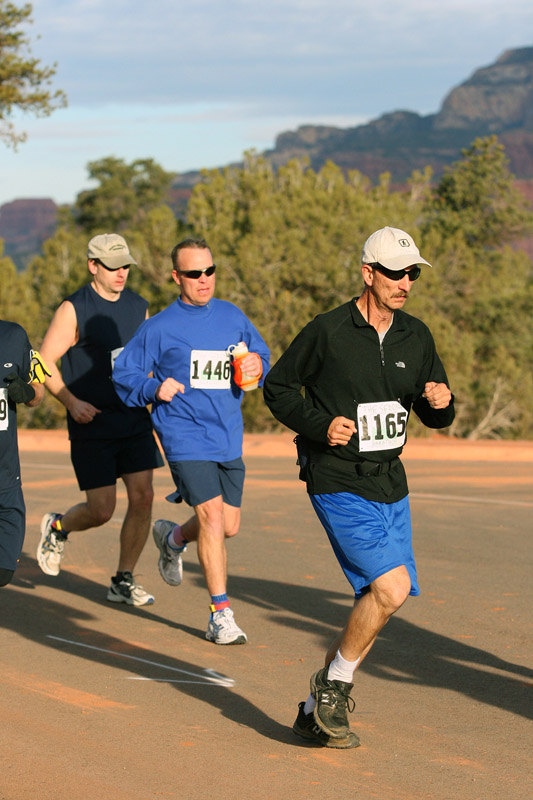
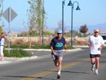
 Look for me left of
center with Blue
Bisbee 1000 hat
Look for me left of
center with Blue
Bisbee 1000 hat
|
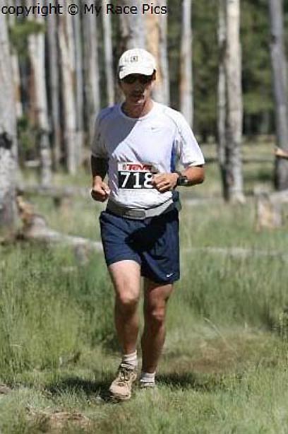
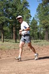
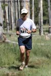
 Racepix shot 1
|
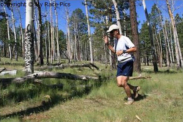
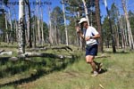
 Racepix shot 2
|
 Racepix shot 3
|
 Racepix shot 4
|
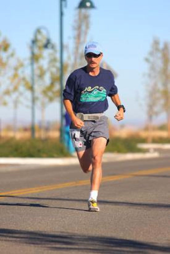
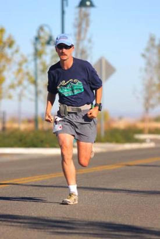
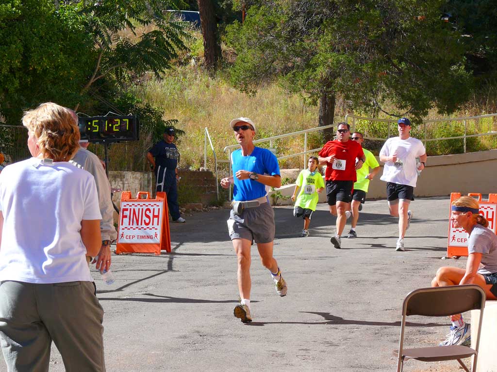
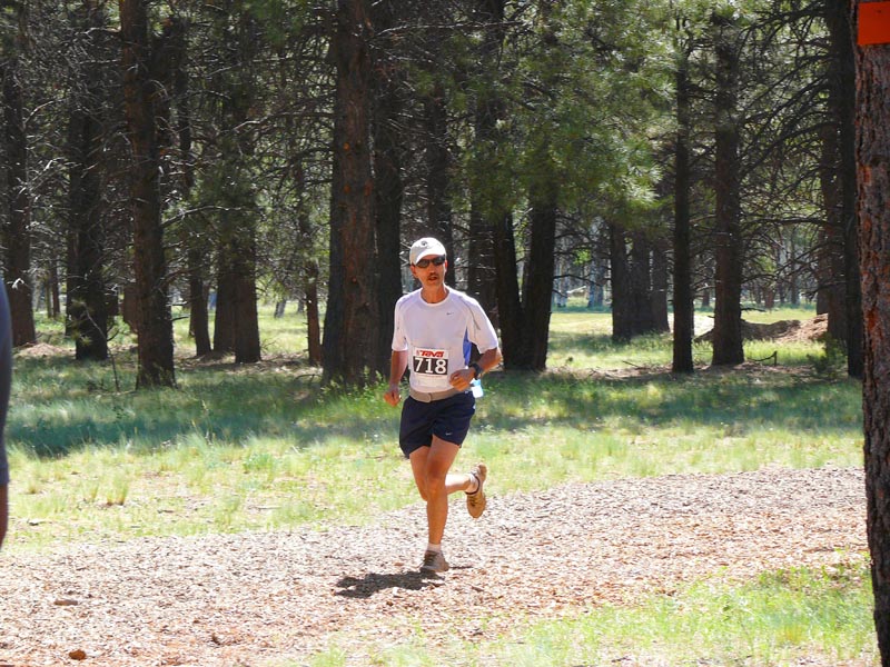
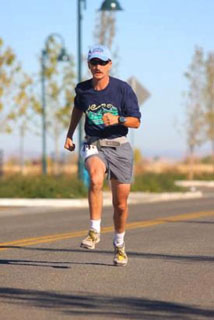
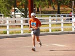
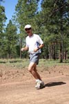
 Blowing past other
runners to a fast
finish!
Blowing past other
runners to a fast
finish!
|
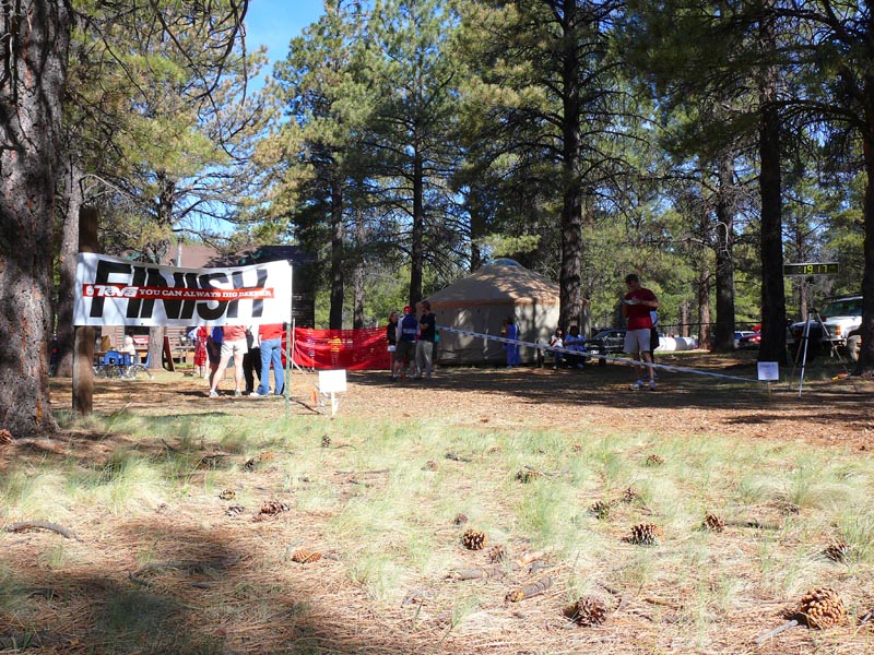
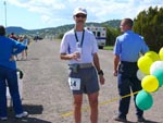
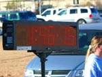 My official time
|
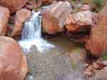
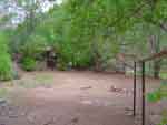
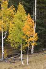
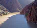
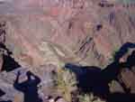
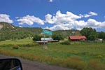
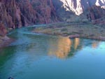
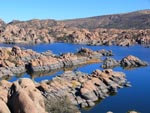 Here is a shot we
took later of the lake
I ran around
Here is a shot we
took later of the lake
I ran around
| |
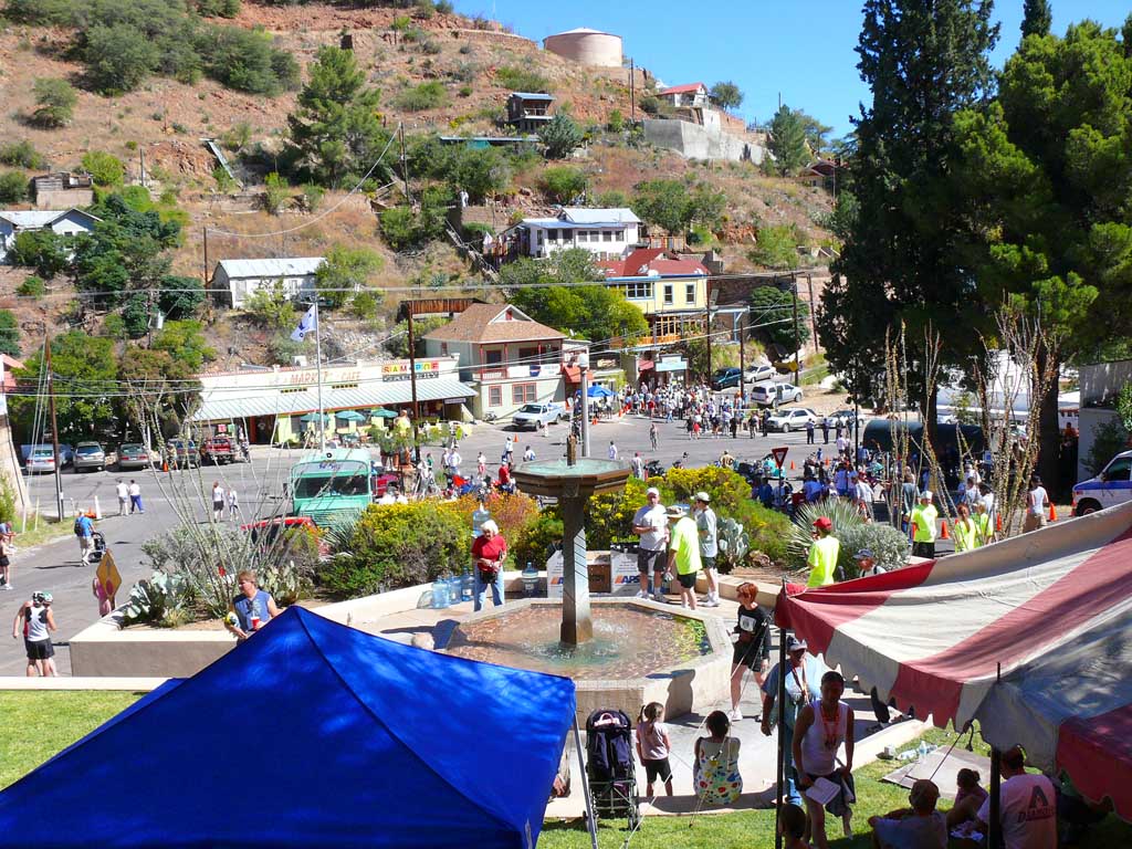
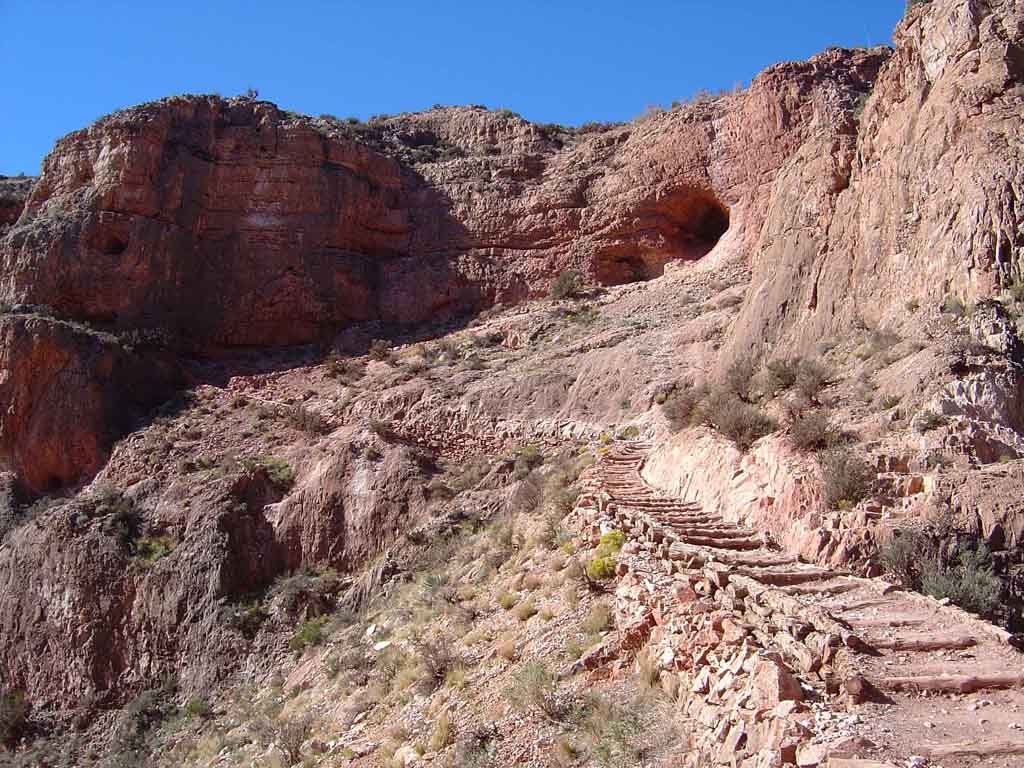
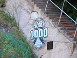
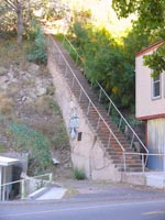
Bisbee 1000 Stair Climb
October 20, 2007
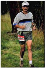
The Stair Climb was perhaps one of the most exciting and challenging "runs" to date, and wasn't even any type of
Marthon. The event has been held for over 17 years straight now, and this year we saw over 1200 runners, the largest
turnout ever! Here is what it is: Each year in south eastern Arizona the town of Bisbee holds a huge athletic event, called
the "Bisbee 1000 Stair Climb". Runners have to go as fast as they can - run a path that takes them through the entire town,
up 7 flights of the steepest longest mining stairways in the western US., some of them over 100 steps. In between, you run
like mad, up steep hills, down winding roads and right down the main streets in Bisbee. The money raised benefits Bisbee so
they can rebuild and maintain the concrete stairs that used to be used a century ago by the miners to climb to
the tops of the mine enterances.
Today, Bisbee is moslty a huge tourist town, but the stairs are thier trade mark as well as the numerous abandoned mines
which produced copper, lead and metals in the past. I did the run in 52 minutes, which was my first time at this event. This
placed me at 277th place, out of 1200 runners. Here is the photo journey of our experience of this awsome event!
Photos by Dawn Schur
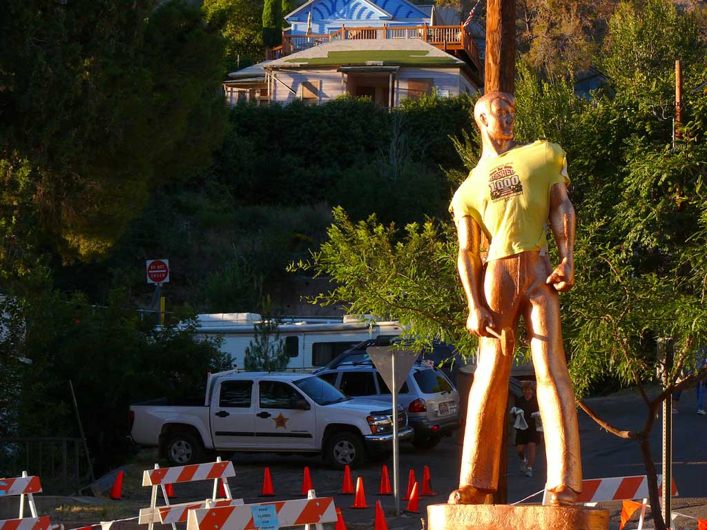
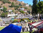
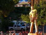 The centerpiece of the town
is a giant copper clad statue
of a miner. Today, the statue
has his official Bisbee 100
T shirt on!
The centerpiece of the town
is a giant copper clad statue
of a miner.  Today, the statue
has his official Bisbee 100
T shirt on!
|
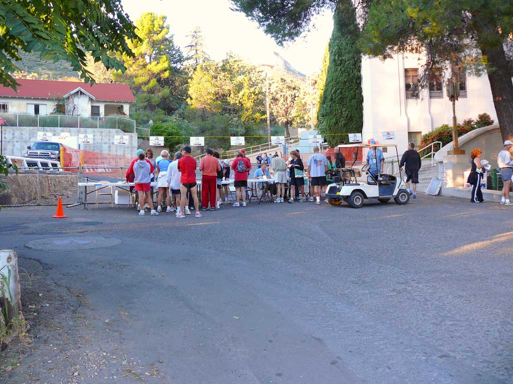
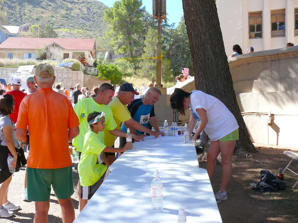
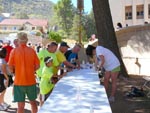
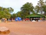
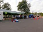
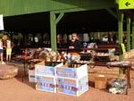
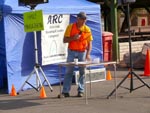
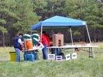
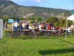
 Early morning registration
tables and last minute
packet pickups.
Early morning registration
tables and last minute
packet pickups.
|
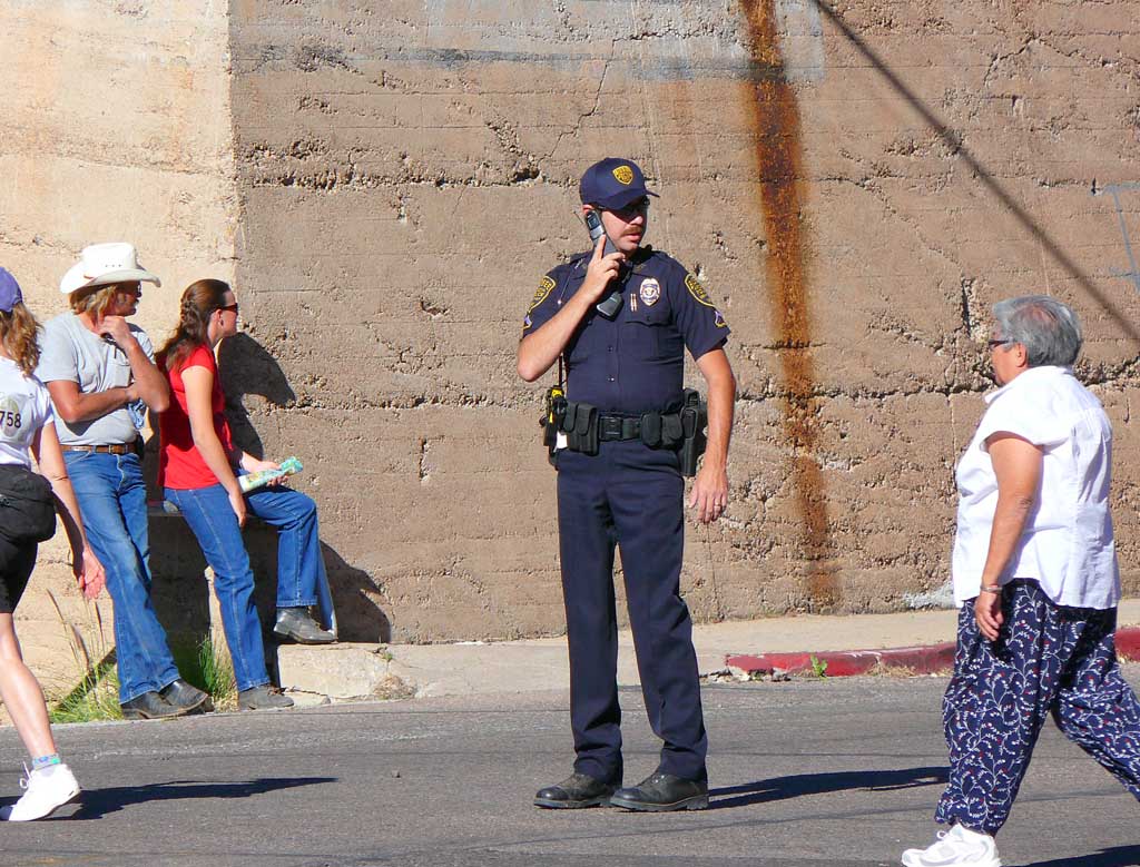
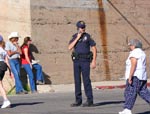
 The Arizona Rangers and
the police gather in the
morning to plan how to keep
the event under control.
The Arizona Rangers and
the police  gather in the
morning to plan how to keep
the event under control.
|
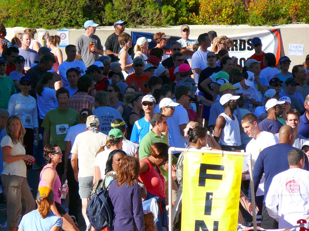
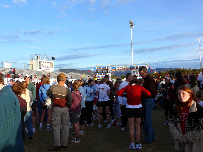
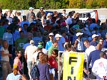
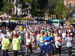
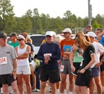
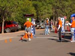
 Runner starting to gather
at the starting line. There will
be over 1200 soon!
Runner starting to gather
at the starting line.  There will
be over 1200 soon!
|
 Waiting near the front of the
crowd for the start of the
race. I am in blue, white
cap in center.
Waiting near the front of the
crowd for the start of the
race.  I am in blue, white
cap in center.
|
 Wating for the start of the Race
|
 Police getting ready for the
start, minutes away
Police getting ready for the
start, minutes away
|
 And their off! The race
starts with a huge air horn.
And their off!  The race
starts with a huge air horn.
|
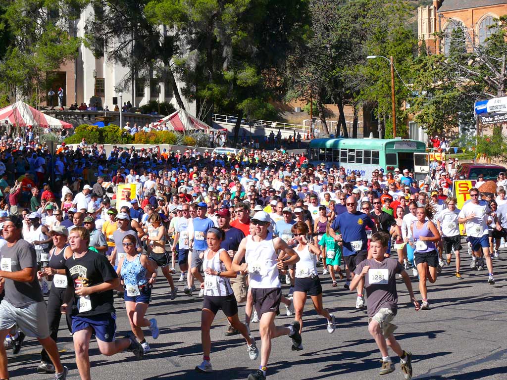
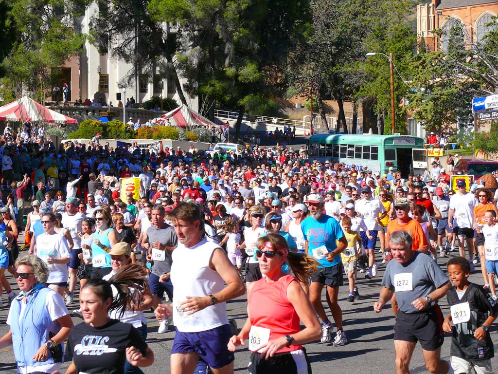
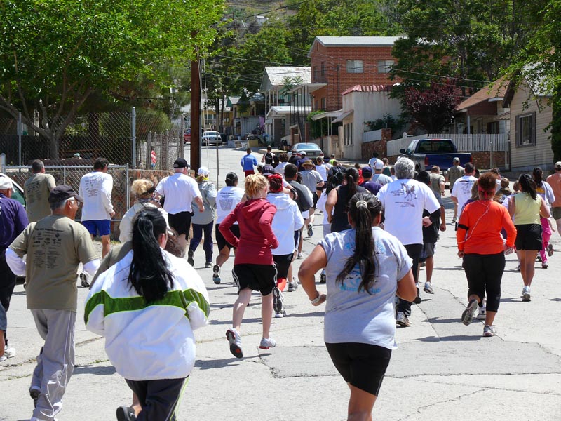
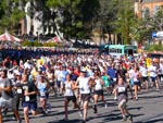 A sea of runners quickly
fills the streets!
A sea of runners quickly
fills the streets!
|
 And more runners...
|
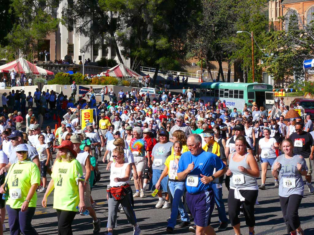
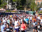
 And near the back, the slower
runners.
And near the back, the slower
runners.
|
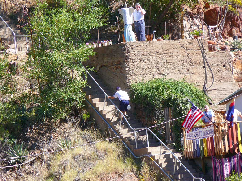
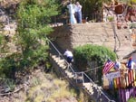
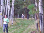
 From a vantage point at the
halfway mark, Dawn shot me
working my way up to the
next stairs!
From a vantage point at the
halfway mark, Dawn shot me
working my way up to the
next stairs!
|
 After all the sets of stairs a fast
and difficult run to the finish, my
time was 52 minutes for the
course.
After all the sets of stairs a fast
and difficult run to the finish, my
time was 52 minutes for the
course.
|
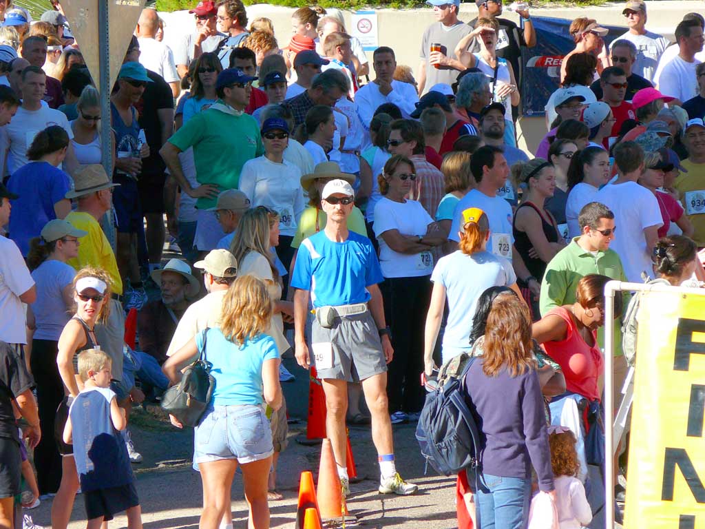
 After the race, runners
check thier rankings., I did
quite well here, 277th place,
which was in front of the mid
packers.
After the race, runners
check thier rankings., I did
quite well here, 277th place,
which was in front of the mid
packers.
|
 Another event that also takes
place is the Ice Block Run, to
see who can run with a block
of ice in tongs up the steepest
stairway in town the fastest.
Another event that also takes
place is the Ice Block Run, to
see who can run with a block
of ice in tongs up the steepest
stairway in town the fastest.
|
 The crowd afterwards, from the
balcony of the town hall, listens
to the race results.
The crowd afterwards, from the
balcony of the town hall, listens
to the race results.
|
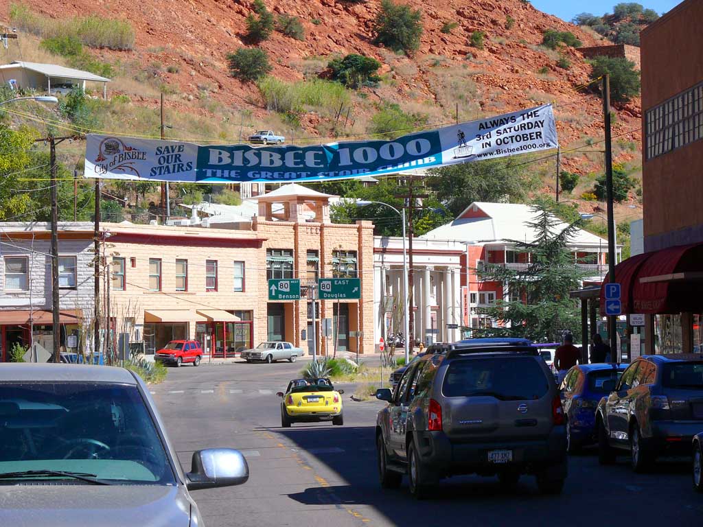
 Banner in town to commemorate
the huge event!
Banner in town to commemorate
the huge event!
|
 One of the stairs we dont climb
is a place where plaques are posted
on major contributors to the
restoration of the stairs.
One of the stairs we dont climb
is a place where plaques are posted
on major contributors to the
restoration of the stairs.
|
 The Plaque stairwell.
|
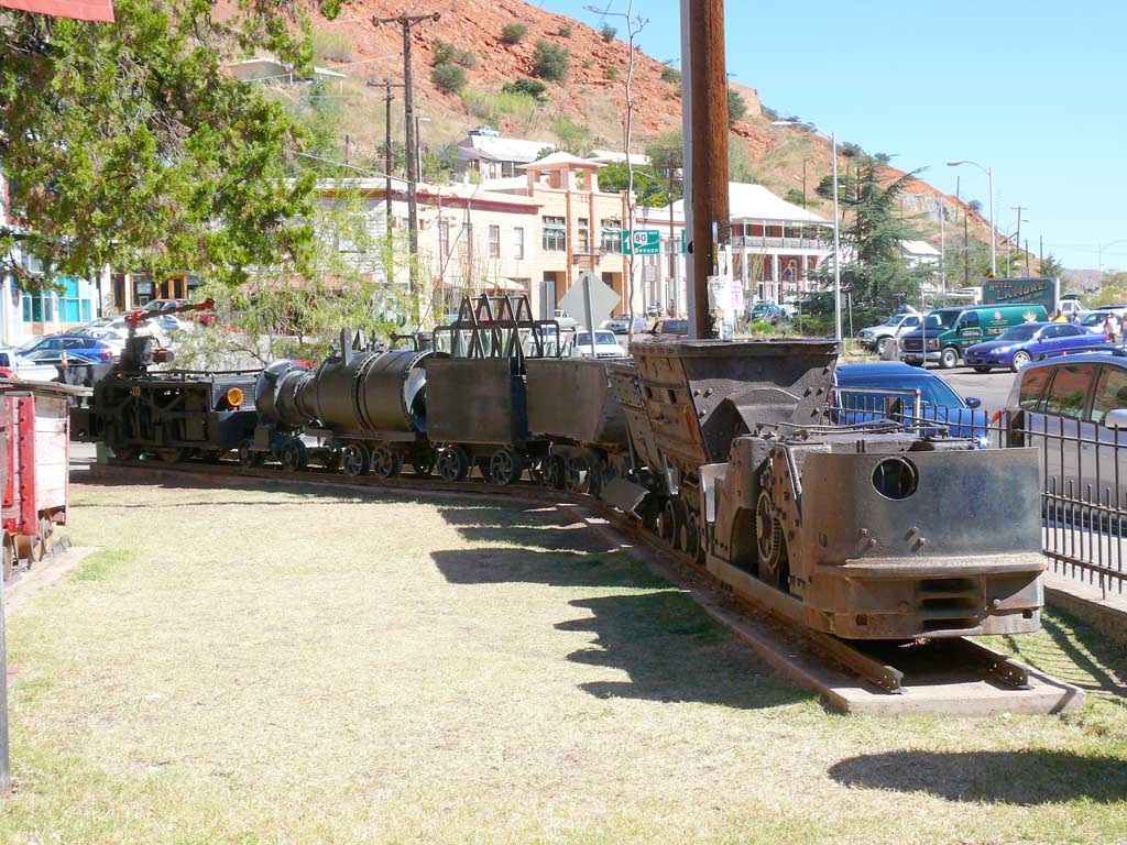
 Some old mining train
cars on display in town.
Some old mining train
cars on display in town.
|
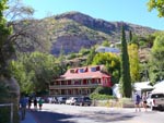 The Inn Bed and Breakfast
in Town
The Inn Bed and Breakfast
in Town
|
 The famous Copper
Queen Motel, where we ate
afterwards.
The famous Copper
Queen Motel, where we ate
afterwards.
|
|
|
|
Previous Runs - 2007
Rim Challenge Half Marathon
October 13th, 2007 Payson Arizona
The home town event was a fitting place for my fastest half marathon yet, 2h 07m. I keep telling Dawn that I'm getting
too close now to breaking that magical 2 hour barrier to give up any time soon! Several hundered runners came together for
both a 5k and half marathon event. The weather was perfect, and the course steep and challenging as last year. This time we
started out at Rumsfield Park on the west side of town, and made a huge loop through the town and back streets to complete the
13.1 mile distance. Here are some photo highlights of the event!
 When we arrived, race
officials were still setting
up the event.
When we arrived, race
officials were still setting
up the event.
|
 Registration booth and
race day packet pickup.
Registration booth and
race day packet pickup.
|
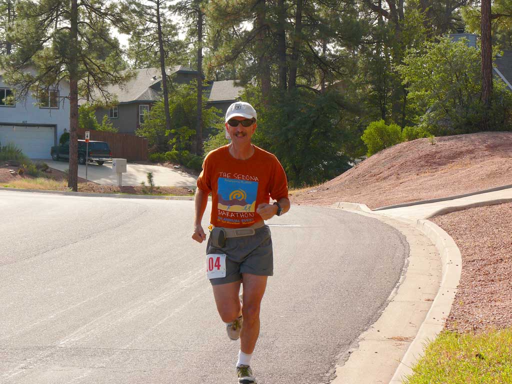
 This is me warming up
before the event!
This is me warming up
before the event!
|
 At the start line, I am
in the Sedona shirt.
At the start line, I am
in the Sedona shirt.
|
 The reading of the race
rules by officials
The reading of the race
rules by officials
|
 After the race started,
the 5K runners line up
at the staring line.
After the race started,
the 5K runners line up
at the staring line.
|
The 5K finish line
|
 The awards table, waiting
for the post race ceremonies
The awards table, waiting
for the post race ceremonies
|
 At mid race, Dawn took
this shot as I raced by!
At mid race, Dawn took
this shot as I raced by!
|
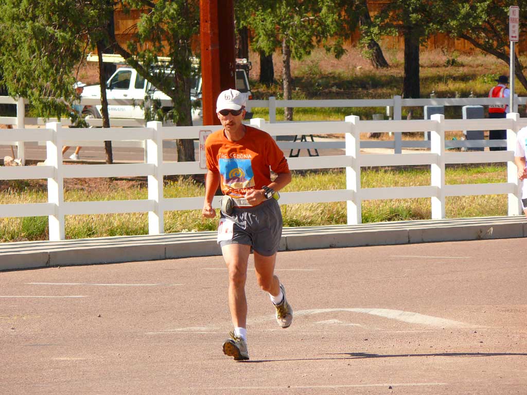
 Running for the finish
line!
Running for the finish
line!
|
 Announcing the runners
as they come in
Announcing the runners
as they come in
|
 A fast finish and the race
is over for me!
A fast finish and the race
is over for me!
| | | |
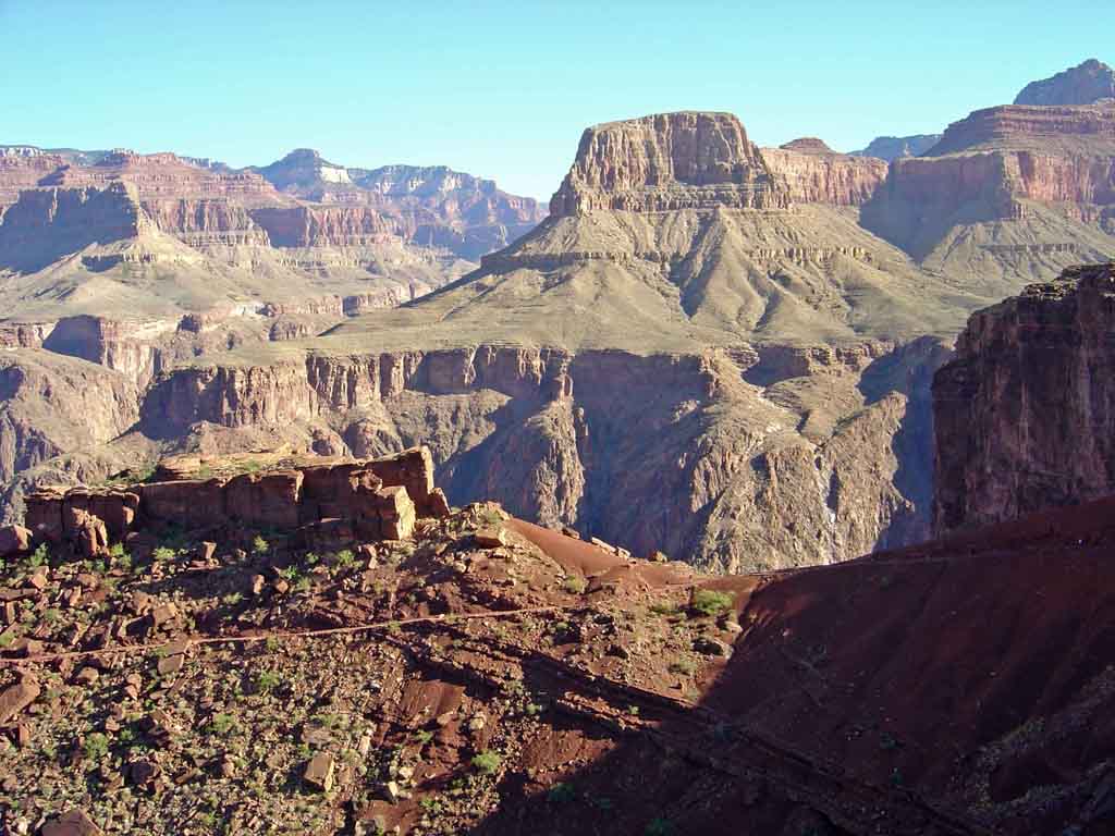
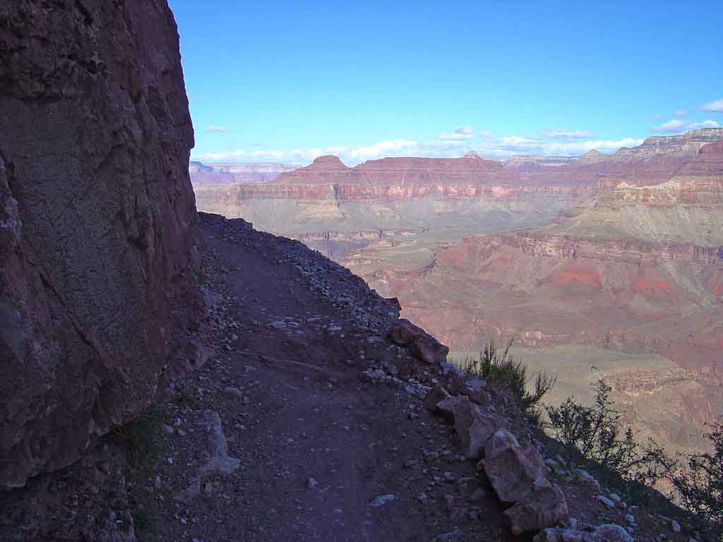
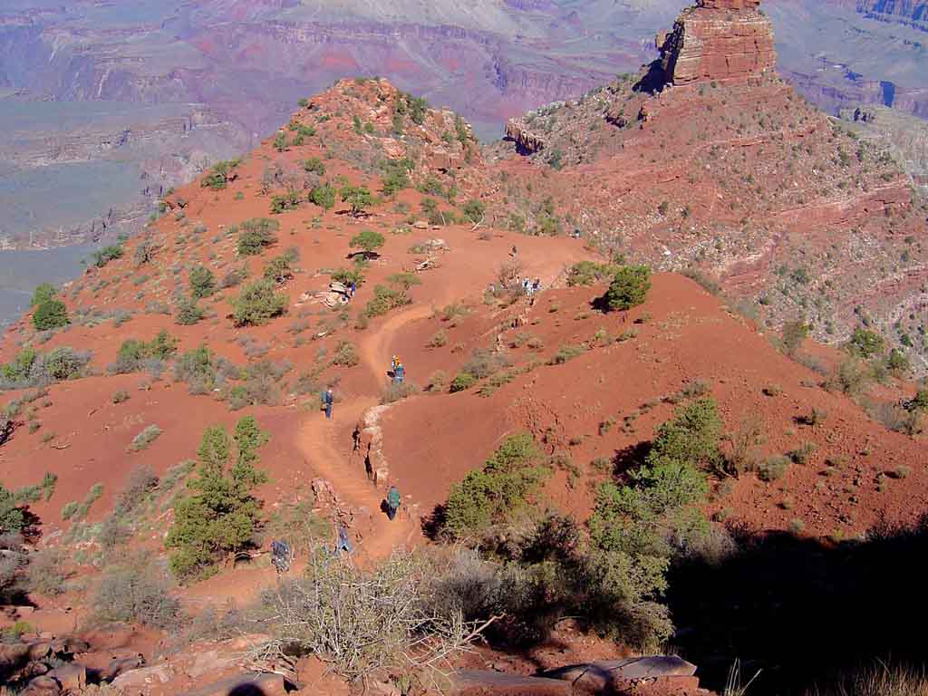
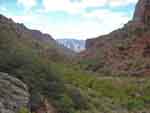
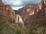
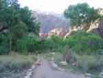
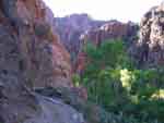
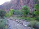
Rim to Rim to Rim Grand Canyon Run
October 4 - 6, 2007
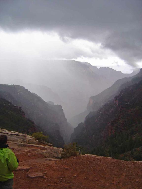
This year was certainly my fastest time ever to run both ways, no doubt as a result of the past years more focused training for
half marathons and trail running events. Thursday the 4th I went South to North in 7h 45m chopping a good 30 minutes off my all time
PR set several years ago. The return trip on Saturday was even faster, 7h 15m, again lopping a good 30m off my PR. Weather this year was bad going
S to N, I was hit with heavy pounding rain and hail, high winds, and rivers of mud 2 inches deep on the trail. The return trip was mostly clear, and dry.
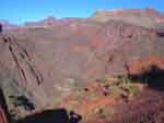
I must warn you, these pictures may stun you with the Canyons surprising beauty, color, and spectacular rock formations! The fall colors on
the North Rim this year were amongst the most spectacular we had ever seen, and a feast for the eyes and cameras. I hope this photo pictorial
shown here will give you some sense of the overwhelming beauty and the magnetic spell this place puts on us twice a year!
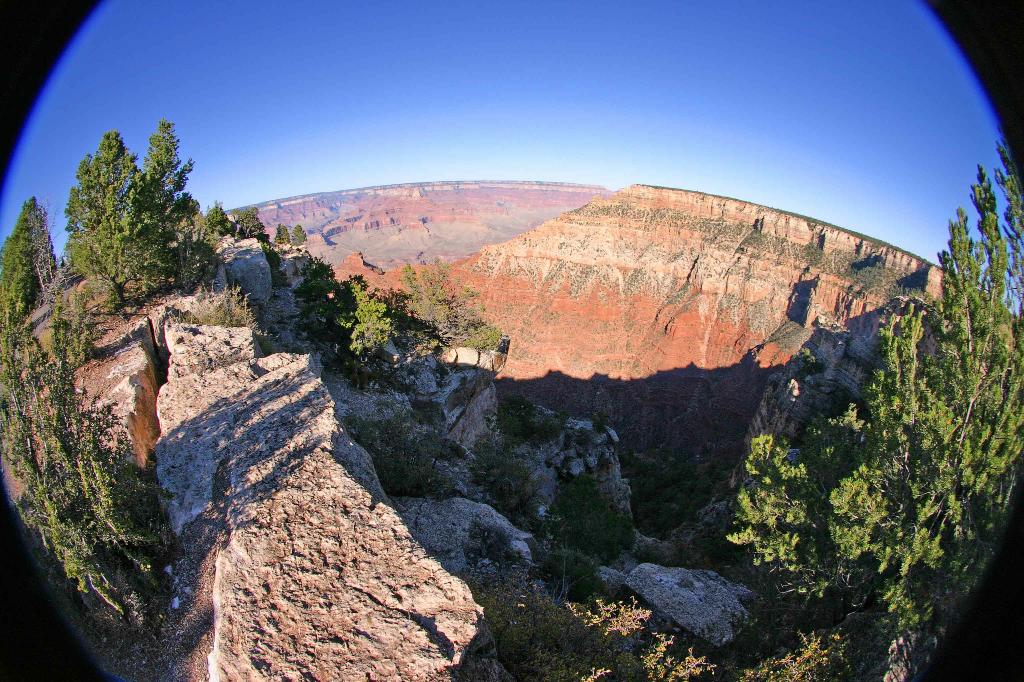
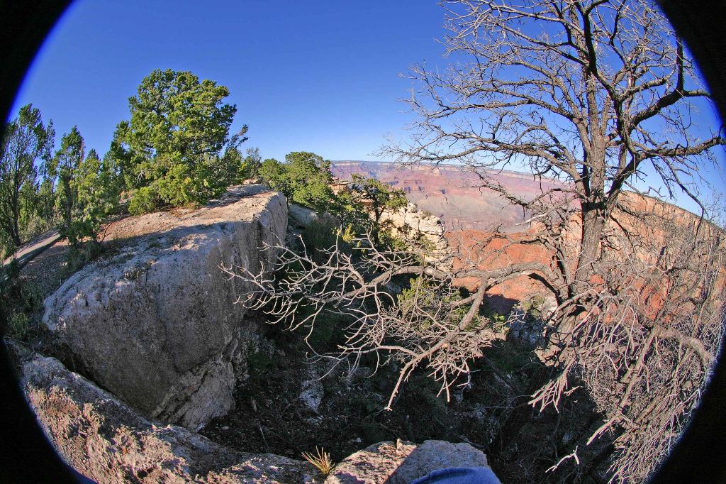
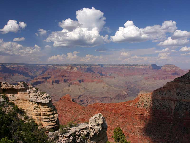
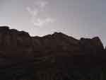
South Rim
Here are a few shots I took with the 10D from the south rim with the new 8mm fish eye lens. This gives an unusual
perspective to the scenes and puts you right into the canyon like you were really standing there!
South to North inside Canyon
Thursday morning, starting at 4am in total darkness, I started my run on the south rim and set my sights on the very distant
North rim lodge some 24 miles away. After a few hours it was light enough to take photos and you can see by the second
image below, I was now very far from the south rim that I had started from still running at a good 10 minute pace towards the
North rim. Here is the pictorial story. (Sony pocket digicam)
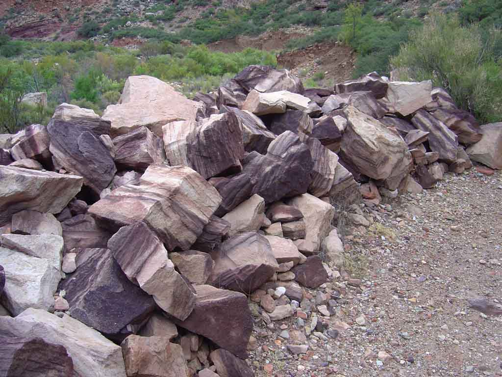
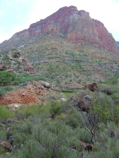
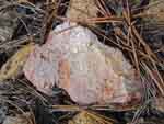
 Nearing the top of the inner
gorge, Blocks of Hakati shale
from a landslide next to the
trail.
Nearing the top of the inner
gorge, Blocks of Hakati shale
from a landslide next to the
trail.
|
 Looking back behind me,
the sun first rises on the
south rim, which I left
about 3 hours before, and
15 miles distant.
Looking back behind me,
the sun first rises on the
south rim, which I left
about 3 hours before, and
15 miles distant.
|
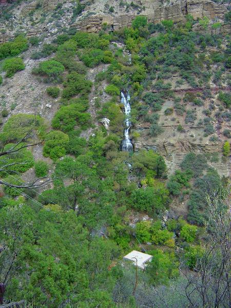
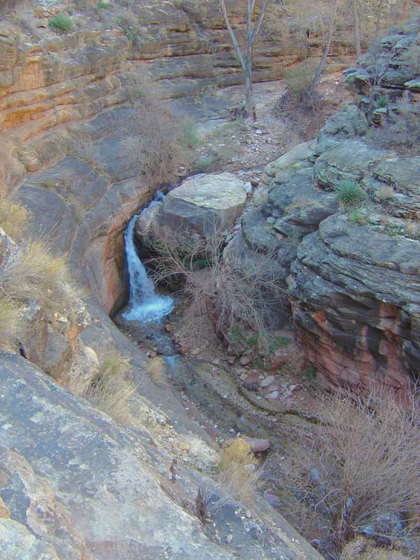
 Waterfalls in Bright Angel
Creek were good this year
Waterfalls in Bright Angel
Creek were good this year
|
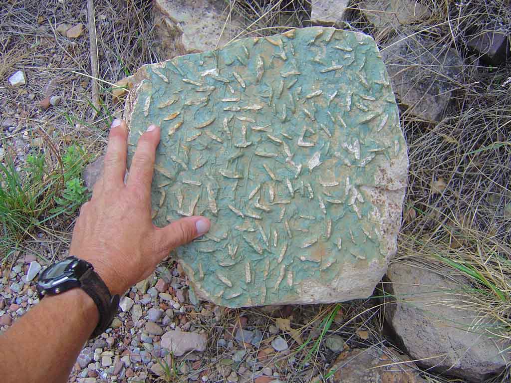
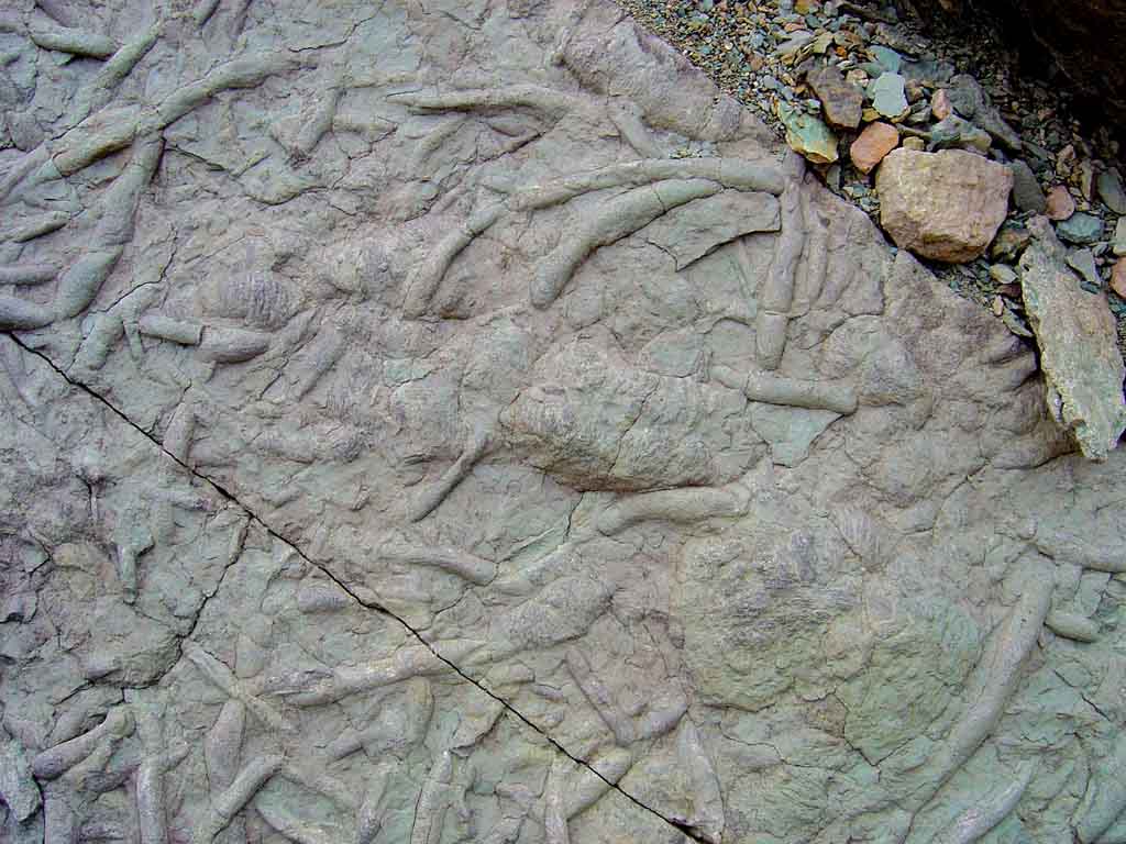
 Here is a big slab of
Bright Angel Shale, loaded
with U tube worm trace
fossils half a Billion
years old!
Here is a big slab of
Bright Angel Shale, loaded
with U tube worm trace
fossils half a Billion
years old!
|
 Just before the pump
house on the north side,
the bridge that crosses
the creek.
Just before the pump
house on the north side,
the bridge that crosses
the creek.
|
 A gigantic slab of shale, with
huge half inch wide Cambrian
worm burrows, and a trilobite
trackway in the middle.
A gigantic slab of shale, with
huge half inch wide Cambrian
worm burrows, and a trilobite
trackway in the middle.
|
 Finally at the pump house,
where a family used to
live years ago inside
the canyon.
Finally at the pump house,
where a family used to
live years ago inside
the canyon.
|
 Now I can see the north
Rim in the distance getting
its first rays of sunlight.
Now I can see the north
Rim in the distance getting
its first rays of sunlight.
|
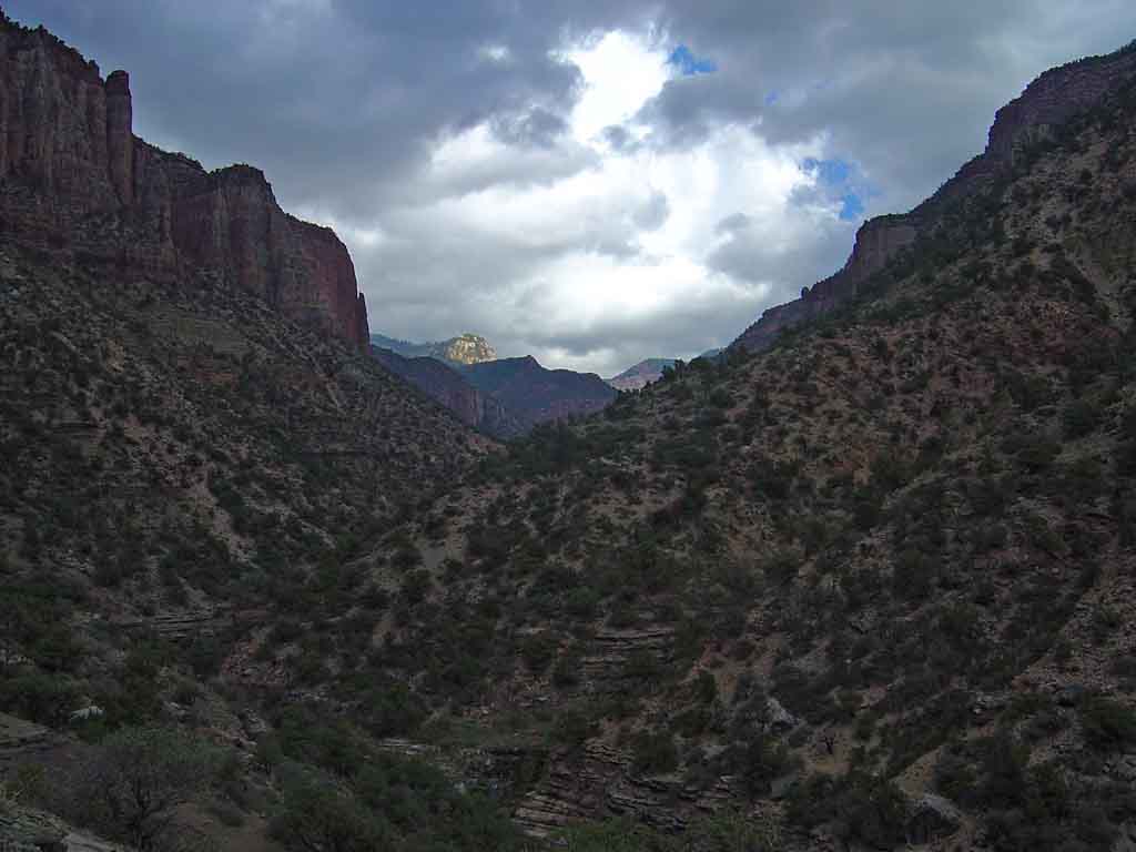
 Once you hit Roaring Springs
Canyon, its a very slow steep
totally uphill climb to the
top.
Once you hit Roaring Springs
Canyon, its a very slow steep
totally uphill climb to the
top.
|
 Hiking in the Bright Angel
shale just out of the inner
gorge. The sky is getting
much cloudier now...
Hiking in the Bright Angel
shale just out of the inner
gorge. The sky is getting
much cloudier now...
|
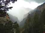
 Shafts of the rising sun light
up the Redwall up ahead
in a stunning beauty
Shafts of the rising sun light
up the Redwall up ahead
in a stunning beauty
|
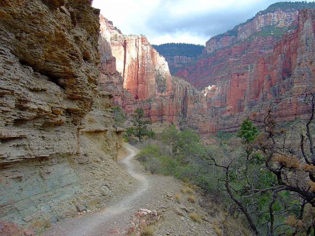
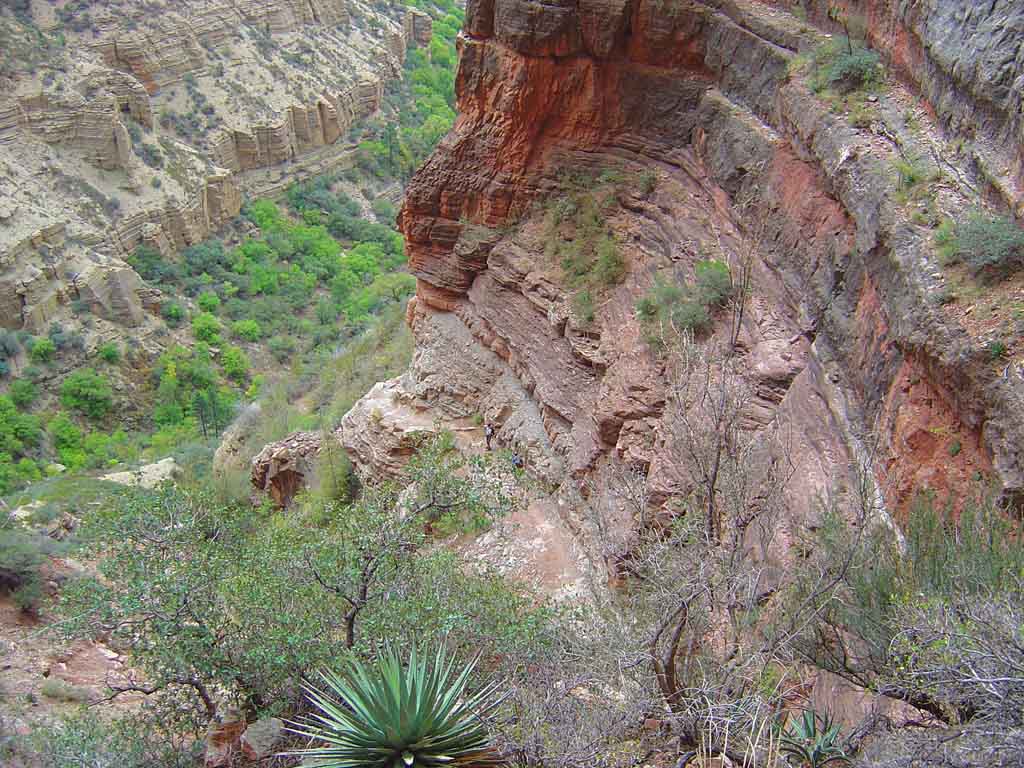
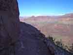
 The killer climb through the
Redwall, looking down over
the edge. see the hikers
below?
The killer climb through the
Redwall, looking down over
the edge. see the hikers
below?
|
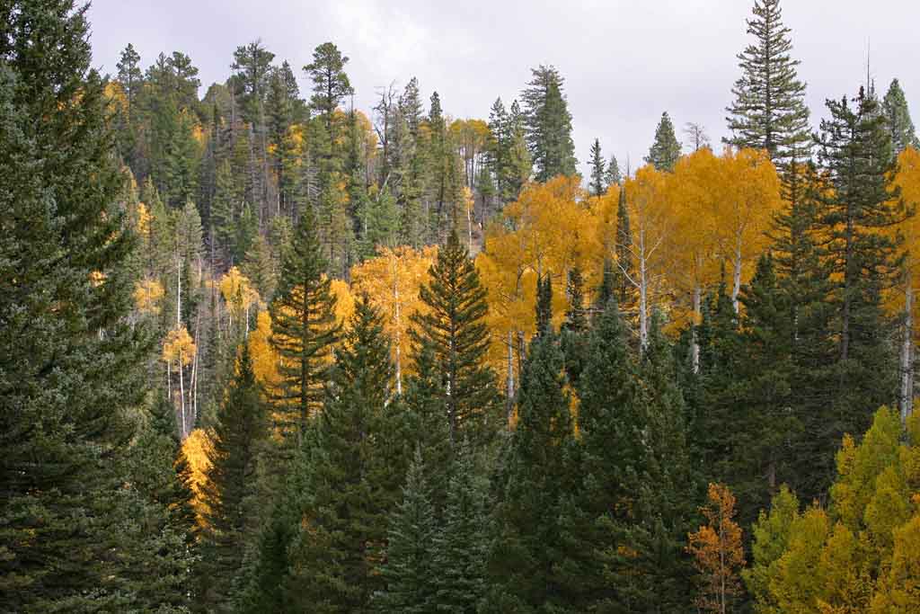
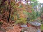 The first hint of the amazing
fall colors up ahead are in
the maples in the Supai
The first hint of the amazing
fall colors up ahead are in
the maples in the Supai
|
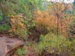 More maples, halfway
out of the upper gorge,
thousands of feet to go UP
yet.
More maples, halfway
out of the upper gorge,
thousands of feet to go UP
yet.
|
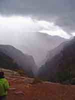
 Maples and pines in the
Supai. Look at the
giant storm on the Horizon
Maples and pines in the
Supai. Look at the
giant storm on the Horizon
|
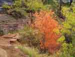 A fi nal glimpse of the maples
just as it started to rain
A fi nal glimpse of the maples
just as it started to rain
|
 The giant storm is very near
now, and coming fast!
The giant storm is very near
now, and coming fast!
|
 My last shot in the canyon
before the huge torrential
downpour forced me to
put the camera away.
My last shot in the canyon
before the huge torrential
downpour forced me to
put the camera away.
|
 At the top of the trail on
the North side. What a
beautiful sight after 24
grueling miles!
At the top of the trail on
the North side. What a
beautiful sight after 24
grueling miles!
| |
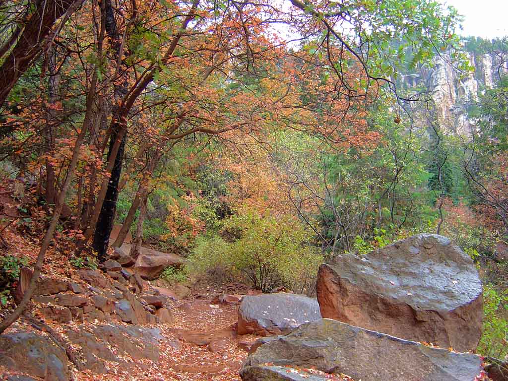
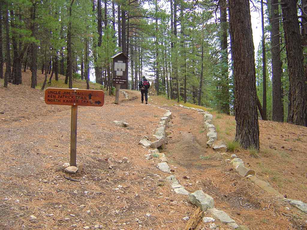
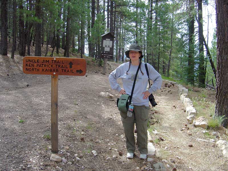
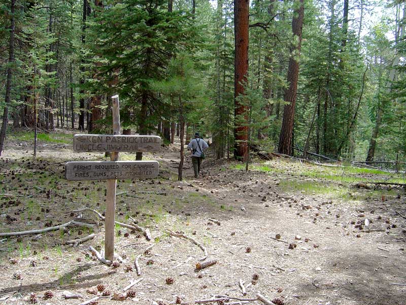
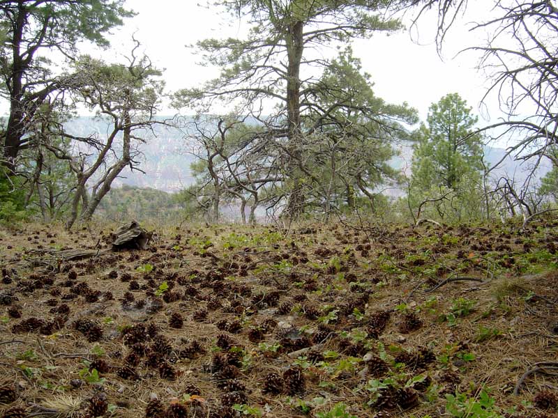
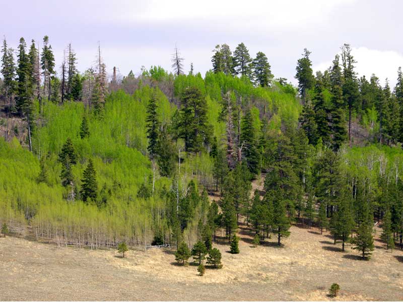
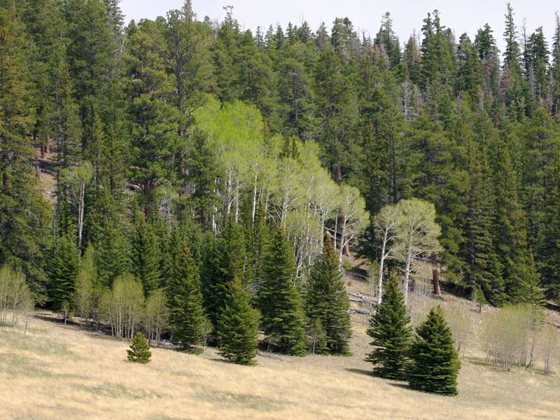
North Rim
Friday was spent photographing the amazing fall colors with my lovely wife Dawn, and doing some (gasp!) more hiking
on the north rim trails. The day was partly cloudy, but the air crisp and full of wildlife and insects. Here are some of
the shots taken on the hike on Uncle Jims Trail, or around the north side national park.
 Early morning start on the
trail, about a 2 hour
hike.
Early morning start on the
trail, about a 2 hour
hike.
|
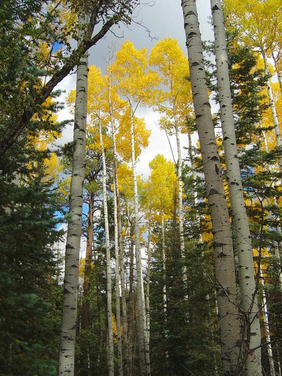
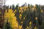
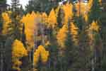
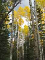 Gorgeous yellow
aspens in full fall
colors
Gorgeous yellow
aspens in full fall
colors
|
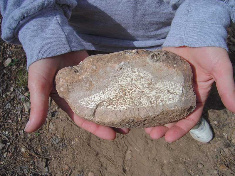
 Fossil sponge in chert
along the trail, which is
very fossiliferous
Fossil sponge in chert
along the trail, which is
very fossiliferous
|
 Along the trail
|
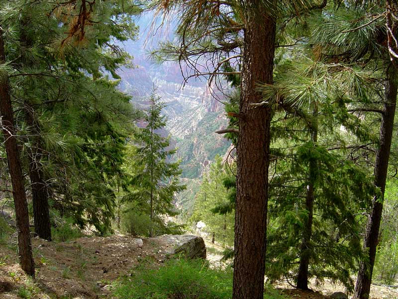
 The trail ends at a viewing
point, which has amazing
views of the canyon
The trail ends at a viewing
point, which has amazing
views of the canyon
|
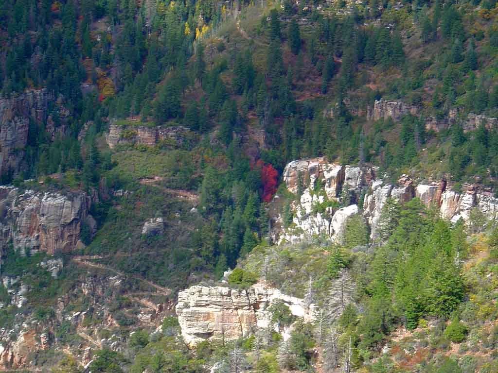
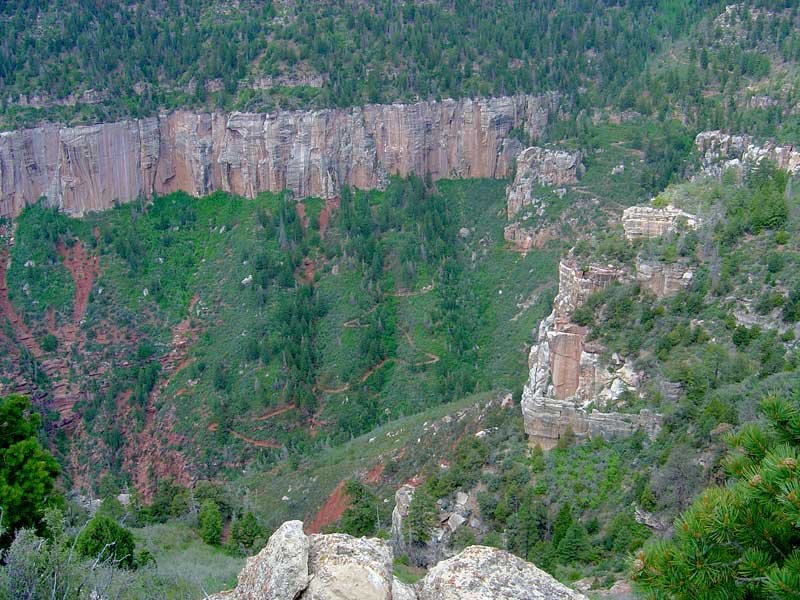
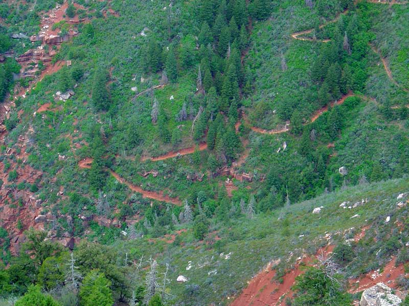
 Looking into the canyon at
the maples I hiked past
on the way out. You can see
the trail I run zig zagging.
Looking into the canyon at
the maples I hiked past
on the way out. You can see
the trail I run zig zagging.
|
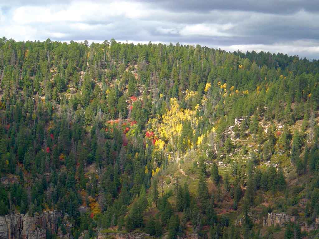
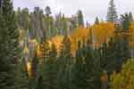
 Maples, aspens and spruce
what more can you ask for?
Maples, aspens and spruce
what more can you ask for?
|
 Aspens and Pines
|
 Aspens and Pines 3
|
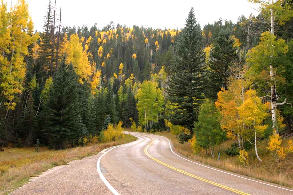
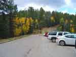
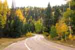 We next drove down toward
the parks entrance and
followed the road lined
in golden Aspens
We next drove down toward
the parks entrance and
followed the road lined
in golden Aspens
|
 Aspens
| |
 Aspens and Pines 2
| |
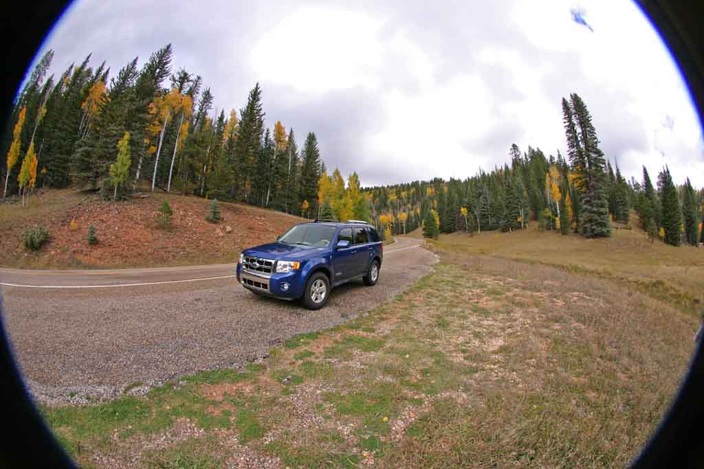
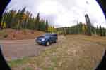 Our new Escape parked
on the side of the road
Our new Escape parked
on the side of the road
| | | | | |
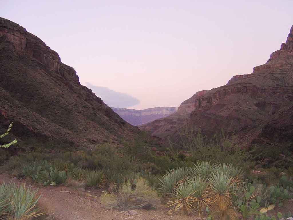
North to South inside Canyon
Leaving once again at 4am from the north rim on Saturday, the long 24 mile trek begins again. (The reason for leaving
this early is avoid the heat normally found at the bottom) Again, about 6 am it was bright enough to take a few shots of
the moon over the inner gorge. Weather was much better this time, it cleared steadily all day long.
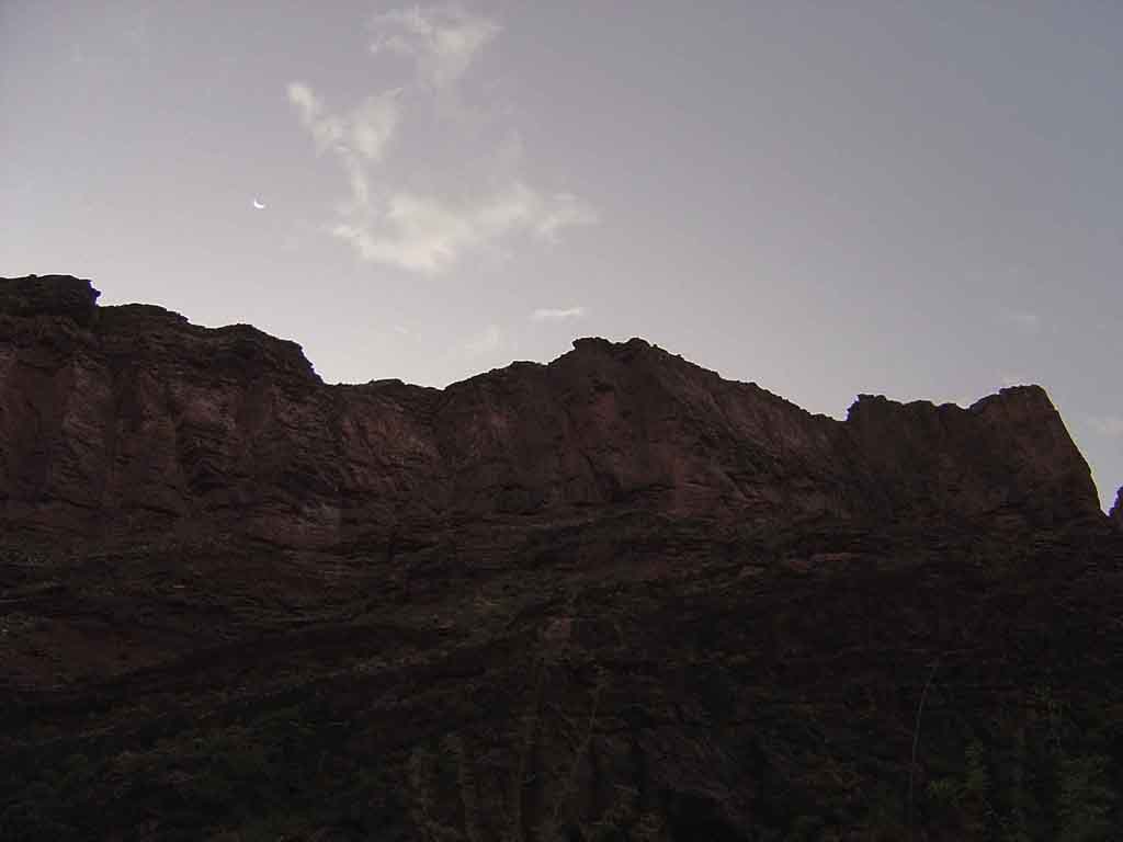
 Before sunup, I captured
the crescent moon over the
Precambrian rock cliffs.
Before sunup, I captured
the crescent moon over the
Precambrian rock cliffs.
|
 Just past Cotton wood
camp, the very distant
south rim is now visible.
Just past Cotton wood
camp, the very distant
south rim is now visible.
|
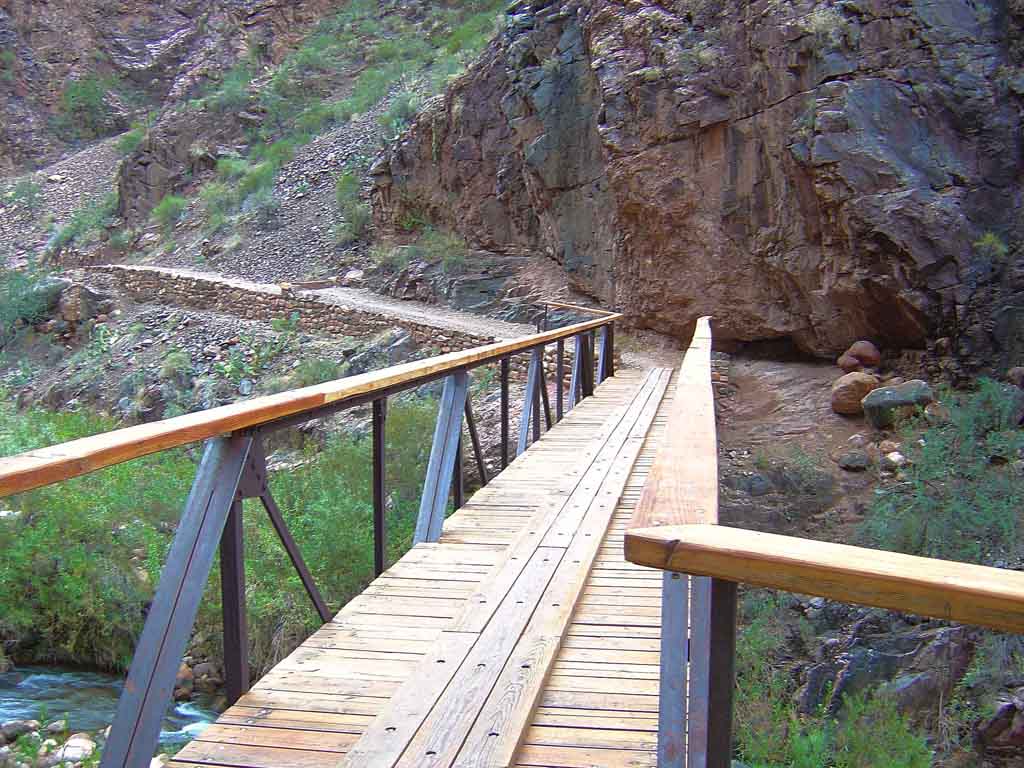
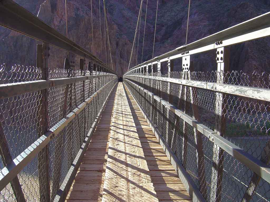
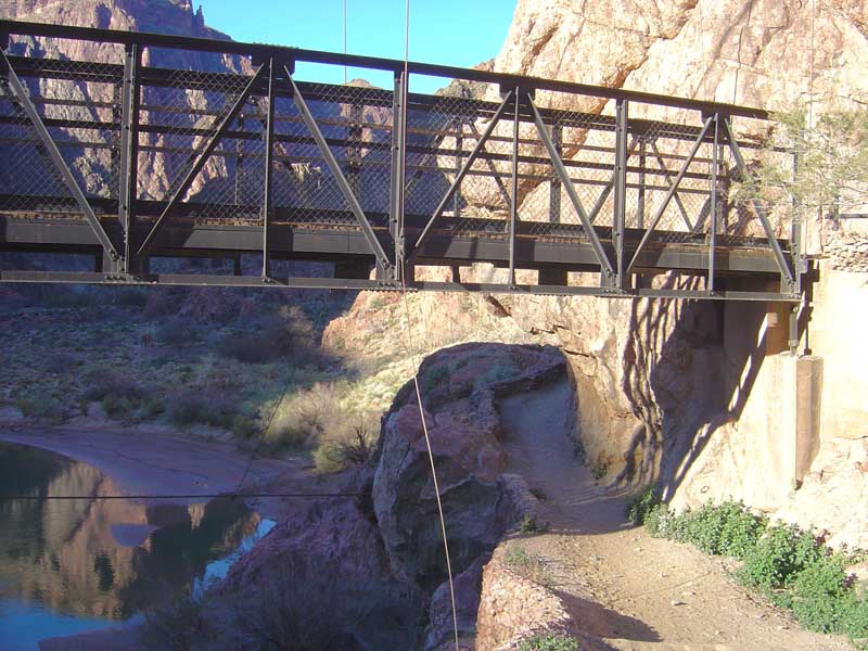
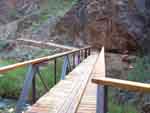 One of my favorite bridge
crossings over bright
angel creek.
One of my favorite bridge
crossings over bright
angel creek.
|
 Another bridge crossing
this one made of steel.
Another bridge crossing
this one made of steel.
|
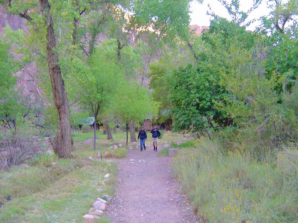
 Passing the Phantom Ranch
lodge at the bottom, about
3h 30m later.
Passing the Phantom Ranch
lodge at the bottom, about
3h 30m later.
|
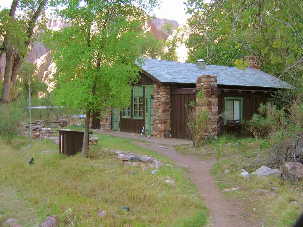
 One of the rangers lodges
at Phantom.
One of the rangers lodges
at Phantom.
|
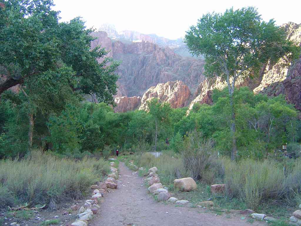
 After you pass Phantom, its
about 10 minutes to the river
up ahead, now in the sun
After you pass Phantom, its
about 10 minutes to the river
up ahead, now in the sun
|
 Heading toward the river
along the north trail
Heading toward the river
along the north trail
|
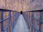
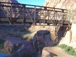
 Just before the river, you
can cross this bridge to take
the Bright angel trail up which
is less steep, but 2 miles longer
Just before the river, you
can cross this bridge to take
the Bright angel trail up which
is less steep, but 2 miles longer
|
 I go straight, up toward the
south Kaibab trail. The
shortest and fastest way up.
I go straight, up toward the
south Kaibab trail. The
shortest and fastest way up.
|
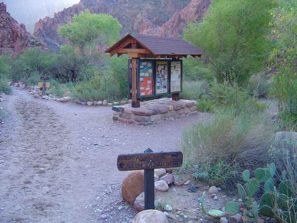
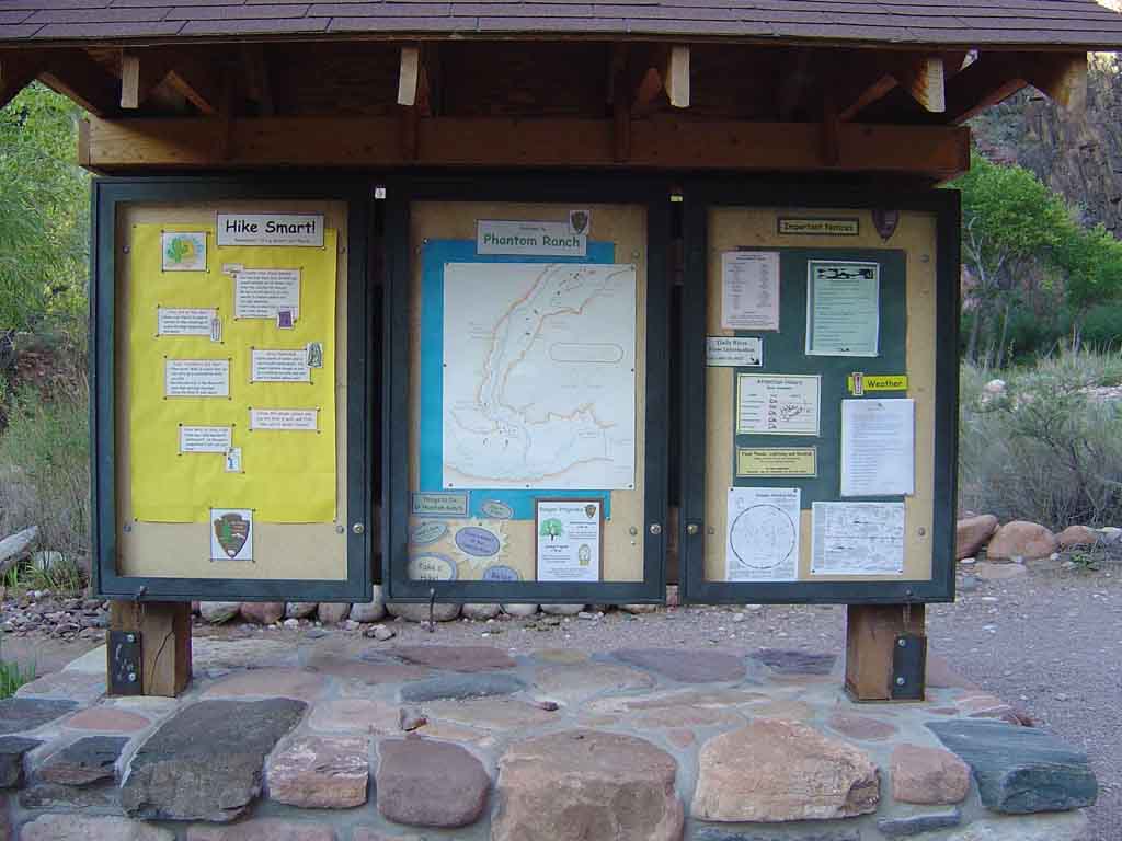
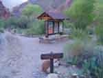
 Notes on the bulletin board
at the river.
Notes on the bulletin board
at the river.
|
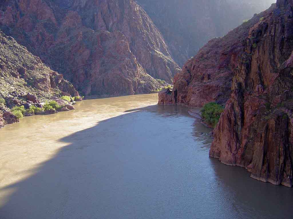
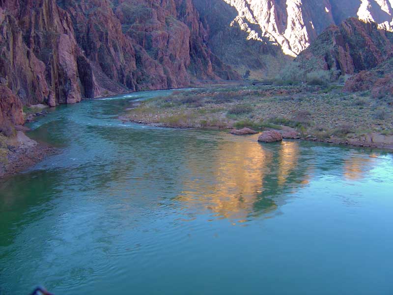
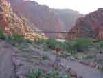 Up ahead, the Colorado
River Crossing bridge!
Almost there.
Up ahead, the Colorado
River Crossing bridge!
Almost there.
|
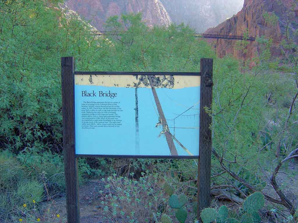
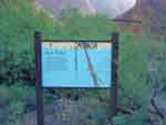 A sign about the
bridge.
A sign about the
bridge.
|
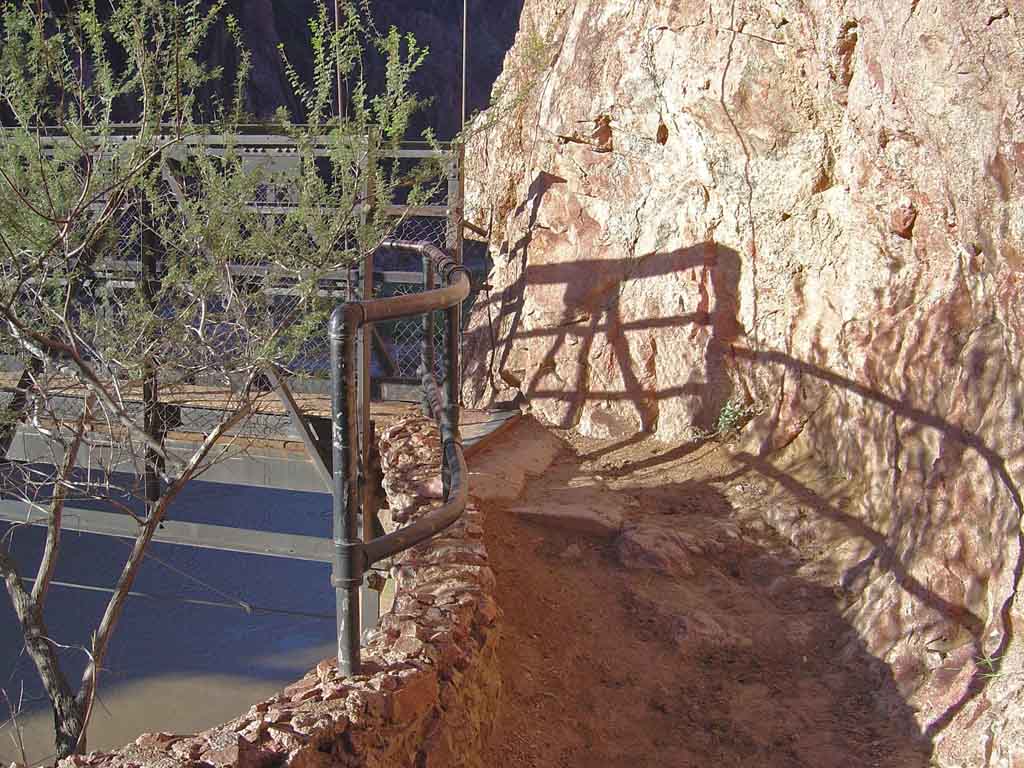
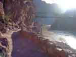 Heading up the final ramp
to the bridge. You can see the
river now.
Heading up the final ramp
to the bridge. You can see the
river now.
|
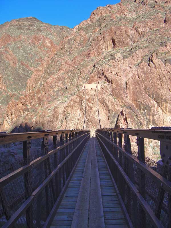
 Entering the bridge, on the
north side.
Entering the bridge, on the
north side.
|
 The long way across the
Colorado to the tunnel on
the other side.
The long way across the
Colorado to the tunnel on
the other side.
|
 From the middle of the
bridge looking at the river
below.
From the middle of the
bridge looking at the river
below.
|
 Getting closer to the
tunnel...
Getting closer to the
tunnel...
|
 Now its been nearly 4 hours,
and Im climbing the very steep
grades up out of the inner
gorge. Its power hiking for
a while.
Now its been nearly 4 hours,
and Im climbing the very steep
grades up out of the inner
gorge. Its power hiking for
a while.
|
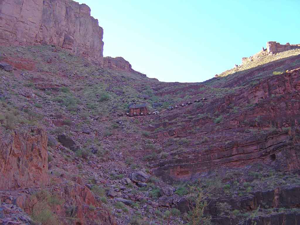
 Hiking out of the inner
gorge, I encounter a mule
trail, this may slow me a bit
Hiking out of the inner
gorge, I encounter a mule
trail, this may slow me a bit
|
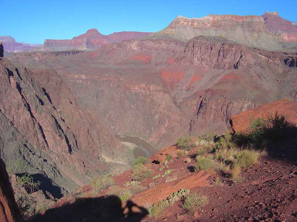
 Made it past the mule trail,
and now at the Tip off,
looking at the river
way below now.
Made it past the mule trail,
and now at the Tip off,
looking at the river
way below now.
|
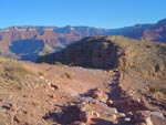
 Looking at the trail up from
the Tip off, at hikers in the
Hakati shale. Can you see
them on the trail?
Looking at the trail up from
the Tip off, at hikers in the
Hakati shale. Can you see
them on the trail?
|
 4 1/2 hours into the run,
I give the inner gorge a
last wave before heading
off to the Tonto
Platform.
4 1/2 hours into the run,
I give the inner gorge a
last wave before heading
off to the Tonto
Platform.
|
 You can run for a while again
until you hit the huge steep
cliffs of the Redwall
Limestone. Very steep!
You can run for a while again
until you hit the huge steep
cliffs of the Redwall
Limestone. Very steep!
|
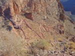
 Heading up through the
Redwall looking at
the canyon thousands of
feet below me. I wont
run this part...
Heading up through the
Redwall looking at
the canyon thousands of
feet below me. I wont
run this part...
|
 The long haul through the
Supai red beds. Some
running but mainly very steep
power hiking.
The long haul through the
Supai red beds. Some
running but mainly very steep
power hiking.
|
 Finally at Cedar ridge! This
is the top of the Supai, in the
Hermit Shale. Im about 85%
to the top.
Finally at Cedar ridge! This
is the top of the Supai, in the
Hermit Shale. Im about 85%
to the top.
|
 Looking back while hiking up
the very steep Coconino
sandstone at Cedar Ridge.
Looking back while hiking up
the very steep Coconino
sandstone at Cedar Ridge.
|
 And finally that long
extremely steep stair step
hike to the top!
And finally that long
extremely steep stair step
hike to the top!
| |
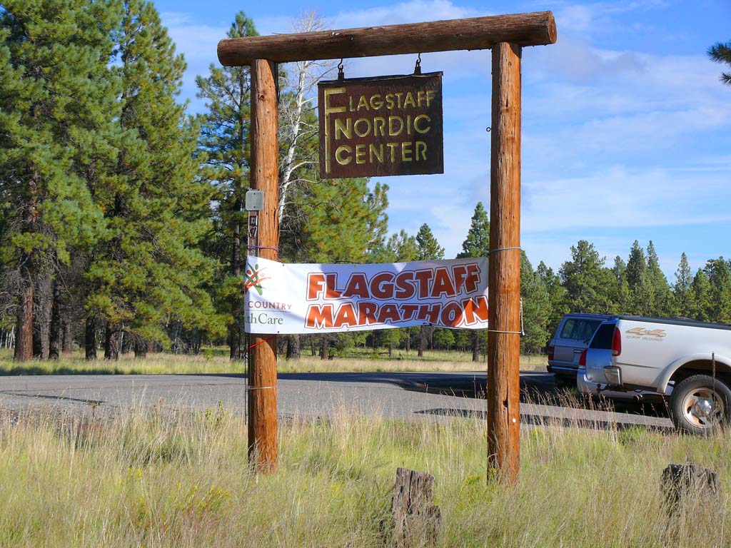
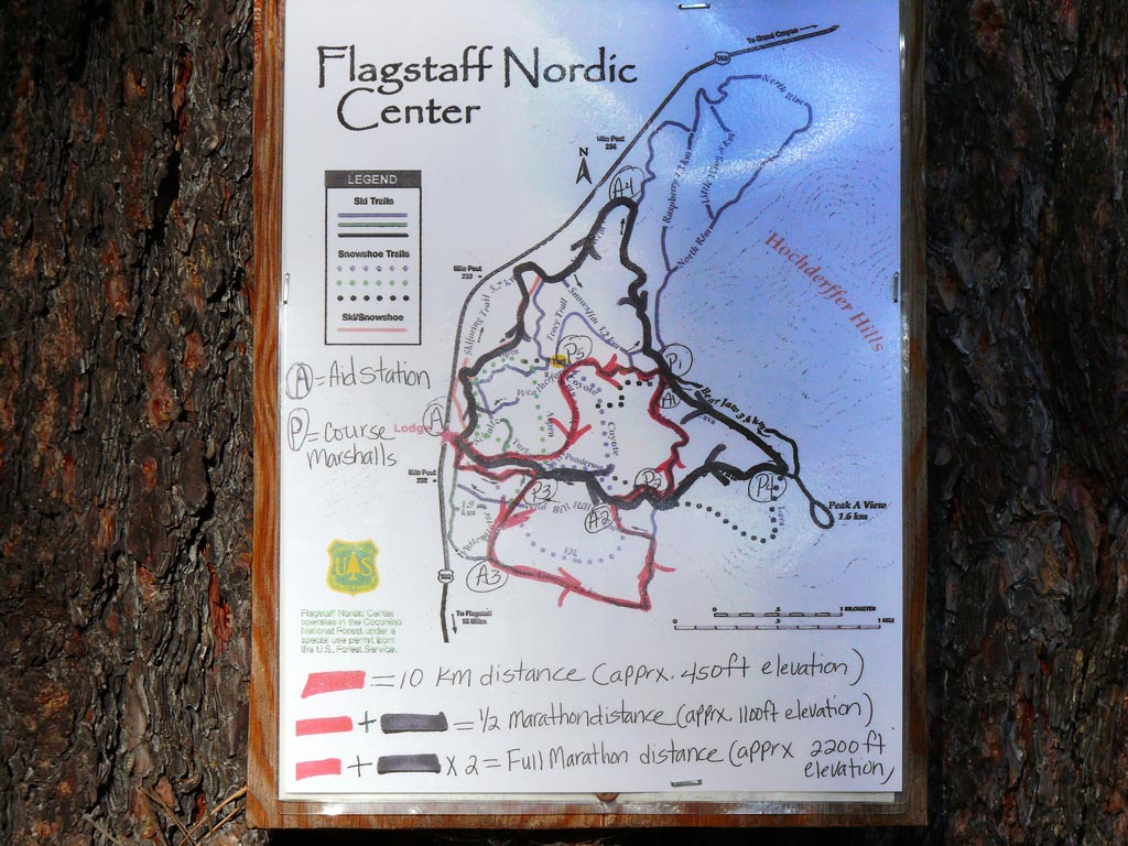
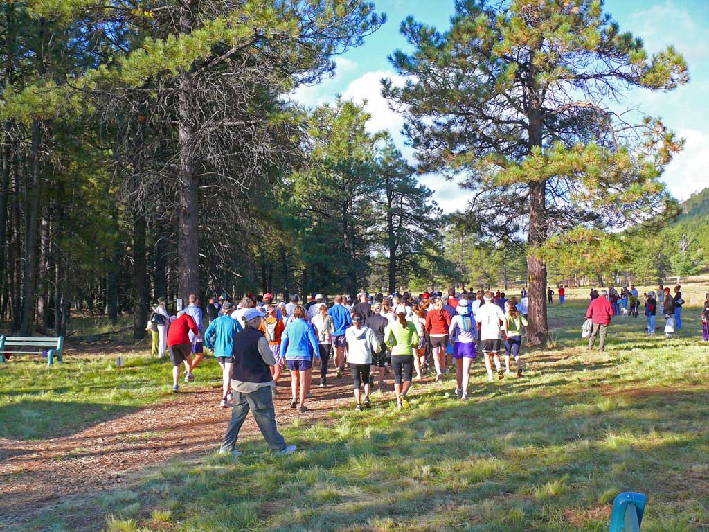
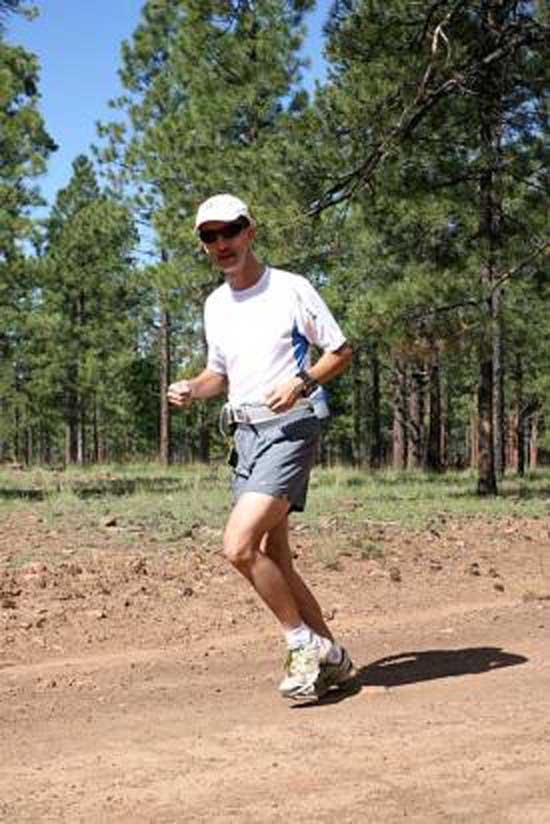
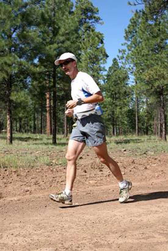
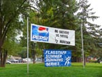
The Flagstaff Half Marathon, Flagstaff - Nordic Center
September 22nd, 2007
A particularly difficult and very long trail run, the Flagstaff Marathon and Half Marathon are touted to be the most difficult in the entire Southwestern U.S.
The extreme altitude, and rugged mountain trails provided a tremendous challenge for all runners, including the shorter 10K which was along the same route.
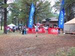
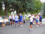
We arrived at about 7am and picked up my packet with the race number and other amusing items. About 80 runners assembled for both the half and full marathons
which started at 8am. The starting altitude was 8002 feet according to my wrist GPS. It was cold, cloudy and about 48 degrees out. Would it rain on us? We were
soon to find out. Just as we left the starting gate for the first loop I knew this one was going to be difficult, and it went up hill continuously for nearly 9 miles straight.
The usual giant rocks, pine cones, stumps, huge branches and fallen trees were all over the trail, and combined with a steep uphill run was slow going. I figured it was going to t
take me 3 or 4 hours to make it to the finish line with such a difficult challenge! We ran though dense conifer forest, thousands of stunning white aspens, large fields
and of course - steep boulder strewn hillsides with deep ruts on the trail.
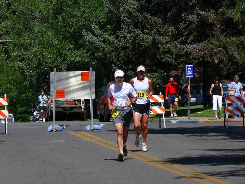
About halfway into the run, it started to pour rain on us. Harder and harder. Soon,
the trail was now a mud bog, with slippery volcanic rocks at every step. Totally drenched and starting to bog down at about 10 miles, the slope then dropped very fast
downhill and I felt renewed energy, in a final burst to the finish line. So how did I do? My second fastest half marathon yet, 2h 21m. The last person over the half marathon
line was nearly at 4 hours. You don't want to know what the longest marathon time was! (nearly 8 hours) After most of the runners had come in by 3 hours, the awards
were given to the fastest man and women runners. Trail running is a big social event, and afterwards we ate giant home baked cookies, drank hot coffee, and swapped
trail running stories, especially from that days extreme challenge!
 At the entrance of the
Nordic Center, marathon
banner
At the entrance of the
Nordic Center, marathon
banner
|
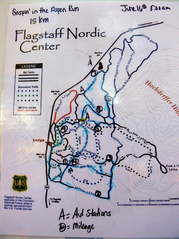
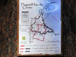 Here is the trail map
that was nailed on a ponderosa
tree behind the center.
Here is the trail map
that was nailed on a ponderosa
tree behind the center.
|
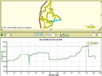 Actual wrist GPS data
revealing the altitude
change during the run!
Actual wrist GPS data
revealing the altitude
change during the run!
|
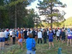 Half hour before the run
the runners started to gather,
about 90 runners
Half hour before the run
the runners started to gather,
about 90 runners
|
 Gathering at the start line
to listen to the rules of
the run.
Gathering at the start line
to listen to the rules of
the run.
|
 And were off! They
started the race with a
big air horn.
And were off! They
started the race with a
big air horn.
|
 All three races started
at the same time. 1/2, full,
and 10K.
All three races started
at the same time. 1/2, full,
and 10K.
|
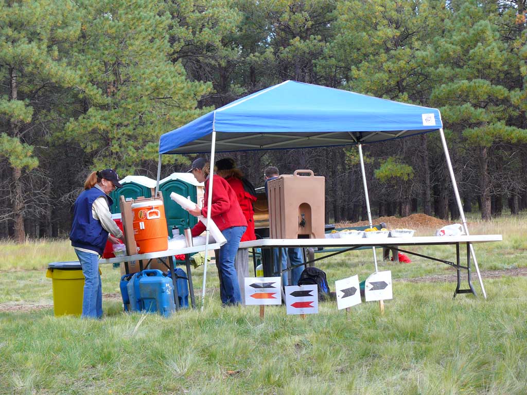
 At the 10K point, setting
up the relief station
At the 10K point, setting
up the relief station
|
 coming into the first
loop at the 10K point in
an hour.
coming into the first
loop at the 10K point in
an hour.
|
 At the 10k point, the rains
had not started yet.
At the 10k point, the rains
had not started yet.
|
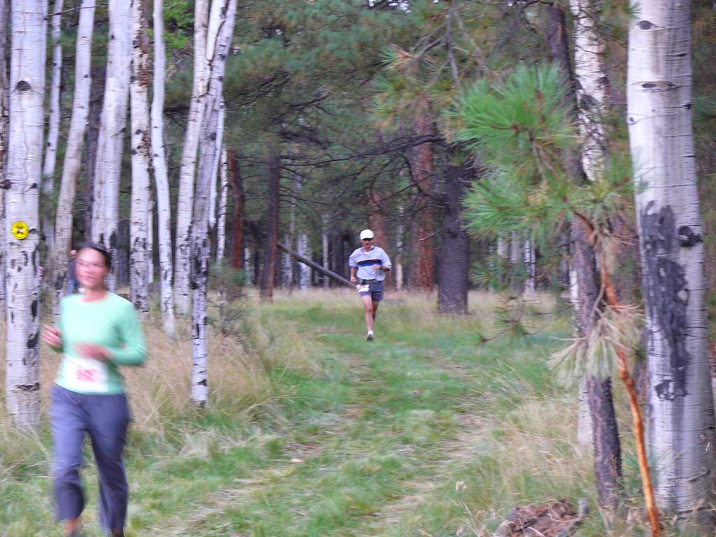
 RacePics.com shot
during the middle of
the first loop
RacePics.com shot
during the middle of
the first loop
|
 Totally drenched, and heading
for the finish line!
Totally drenched, and heading
for the finish line!
|
 The Finish - The most
difficult run I have ever
done yet! (2:21)
The Finish - The most
difficult run I have ever
done yet! (2:21)
| | |
White Mountains Half Marathon, Eager
September 15th, 2007
Another moderate difficulty high altitude run. From the Eager Recreational park, we were bussed 13.5 miles north to the small community of Nutrioso.
There, we walked about a quarter of a mile down the road to the officially measured starting line, along side the highway. While the 95 of us waited for the start
at about 8am, Highway Patrol cars with lights flashing cleared the road ahead, and then escorted us during the run and along the road up ahead. Up until about the
9 mile mark, it is a gradual down hill, then THE HILL. For nearly 2 miles a very steep mountain grade that had over half the runners walking to the
top. My hard hill training in Payson seemed to pay off, and I was able to run non stop all the way to the top of this steep incline. From the peak to about half a mile
to the finish, was a very steep down hill, and I ran faster than I have in a long time! We all screamed down that hill, with the Police escort still running up and down the road.
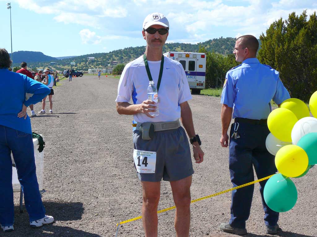
It was a bit of an uphill climb to the finish, and despite the challenge of the super steep hill, this was my fastest half marathon yet, at 2:17 officially. I felt pretty good
after this run, after we settled in positions after a mile or so, I maintained my position to the very end in the middle of the pack of I'm certain were many more
experienced runners. A fast final blast to the finish line with a crowd of excited onlookers cheering us toward the end. The wind did not allow the
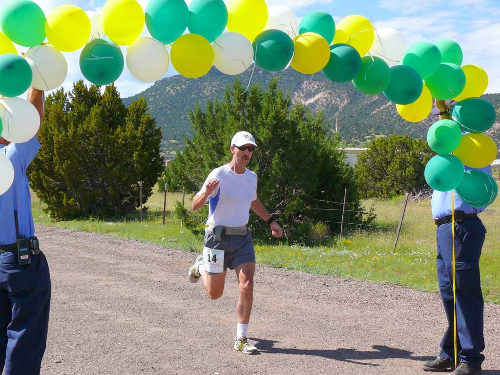
finish line balloon arch to stay upright, so local firemen held a string of balloons over their heads for us to run under at the finish line! What fun.
Here is a photo pictorial of this rather enjoyable event.
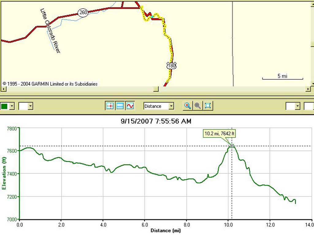
 Data from my wrist GPS
showing the run profile,
and the huge HILL we had
to run up at the 9 mile mark
Data from my wrist GPS
showing the run profile,
and the huge HILL we had
to run up at the 9 mile mark
|
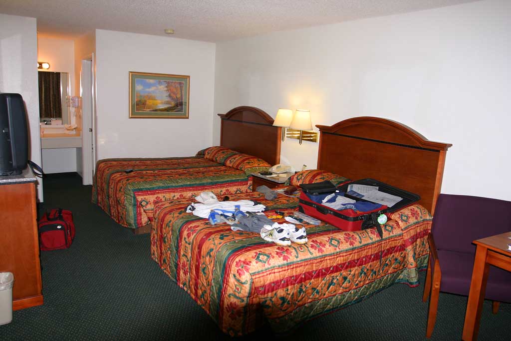
 The night before, all my
running stuff spread out
on the bed in the hotel...
The night before, all my
running stuff spread out
on the bed in the hotel...
|
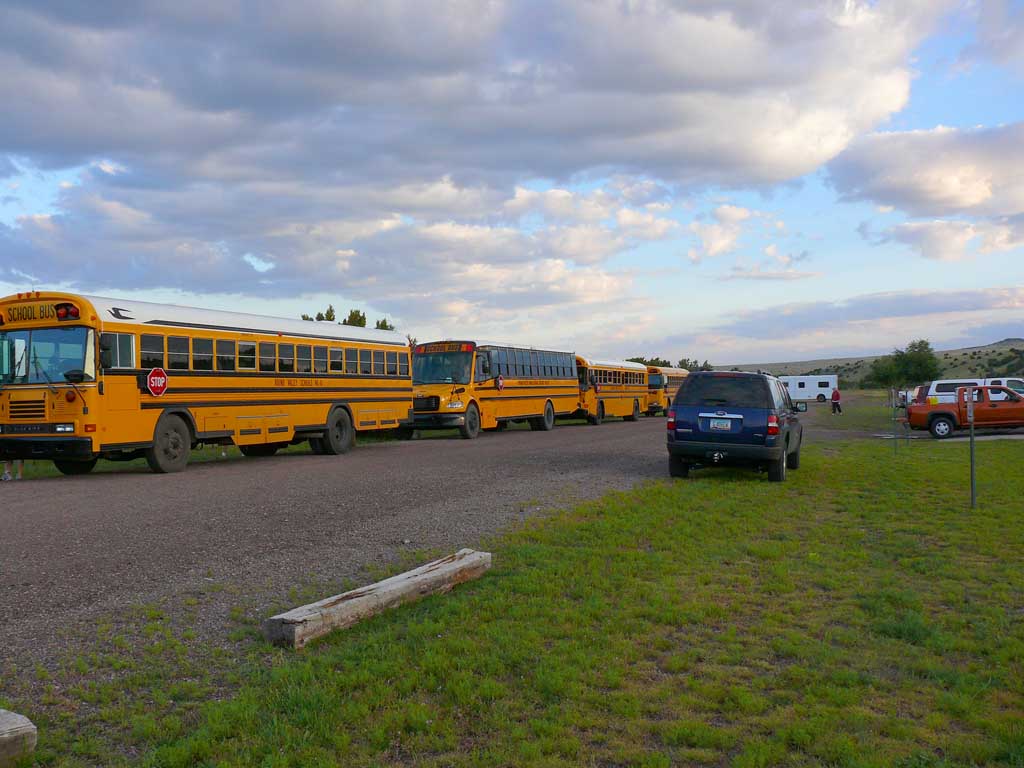
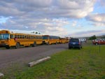 In the morning, the busses
line up to carry the runners
to Nutrioso starting point.
In the morning, the busses
line up to carry the runners
to Nutrioso starting point.
|
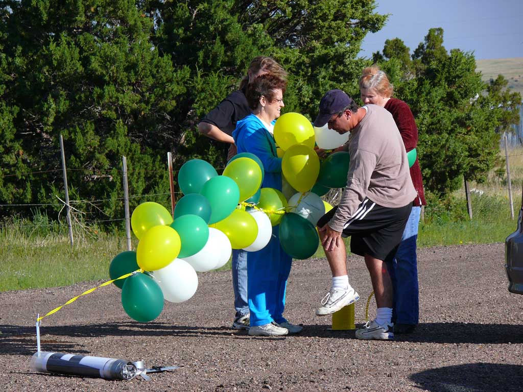
 Crew setting up the ill
fated balloon arch, which
was nearly blown away by
the wind.
Crew setting up the ill
fated balloon arch, which
was nearly blown away by
the wind.
|
 While we were running, the
crew getting the breakfast
feast ready for us!
While we were running, the
crew getting the breakfast
feast ready for us!
|
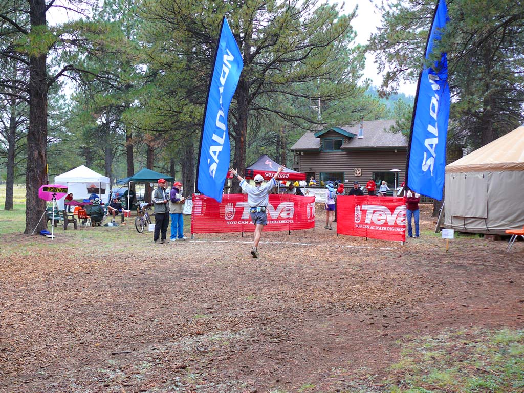
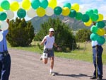 Two Eager firefighters
holding up the balloons
when I came through the
finish line!
Two Eager firefighters
holding up the balloons
when I came through the
finish line!
|
 Satisfied runner after
a fast finish.
Satisfied runner after
a fast finish.
|
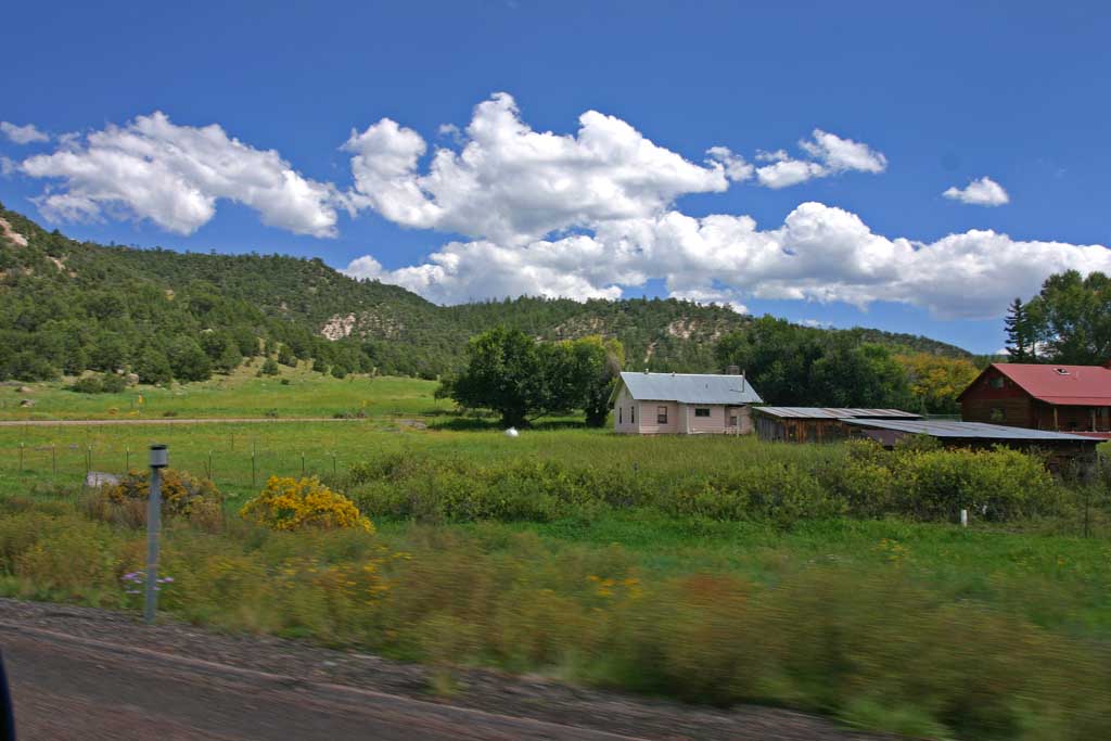
 Next we took a road trip
along the race route to get
some photos. Here is the small
town of Nutrioso
Next we took a road trip
along the race route to get
some photos. Here is the small
town of Nutrioso
|
 More of the small
town
More of the small
town
|
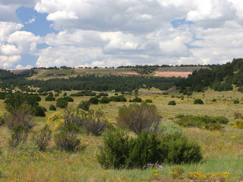
 For most of our run in the
White Mountains, we ran
along the roadway with
a police escort
For most of our run in the
White Mountains, we ran
along the roadway with
a police escort
|
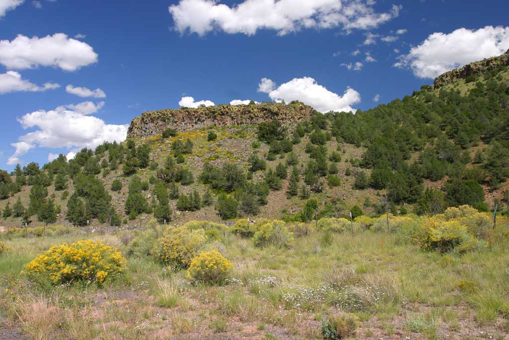
 Spectacular volcanic cliffs
covered in green moss, and
wildflowers in bloom!
Spectacular volcanic cliffs
covered in green moss, and
wildflowers in bloom!
|
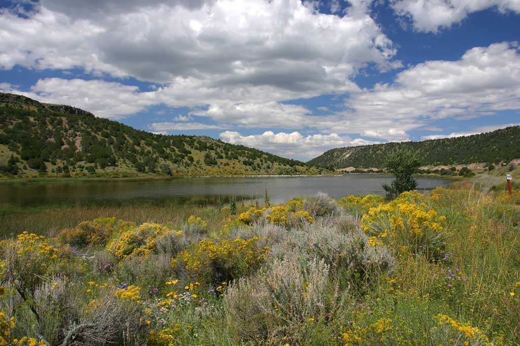
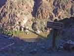
 Nelson reservoir, which we passed
early on, had spectacular
scenery
Nelson reservoir, which we passed
early on, had spectacular
scenery
|
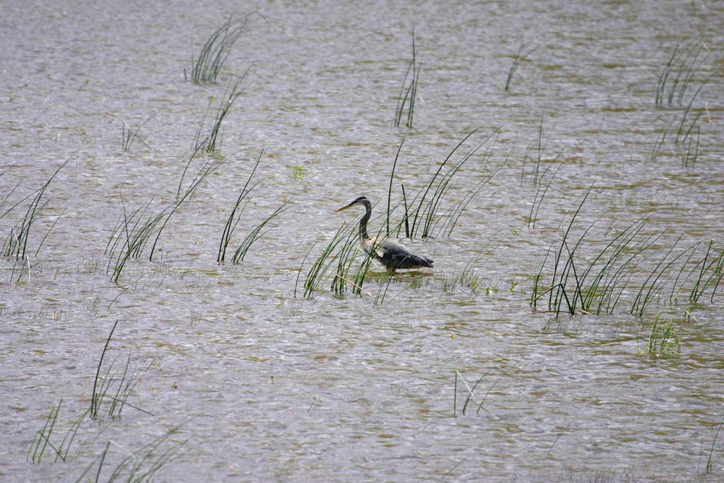
 Blue Heron in the reservoir
with the 400mm
Blue Heron in the reservoir
with the 400mm
|
 Another shot of the
reservoir - look at all
the high desert flowers
Another shot of the
reservoir - look at all
the high desert flowers
|
 Views of the cliffs
along the run
Views of the cliffs
along the run
|
 More basaltic cliffs with
columnar joints
More basaltic cliffs with
columnar joints
|
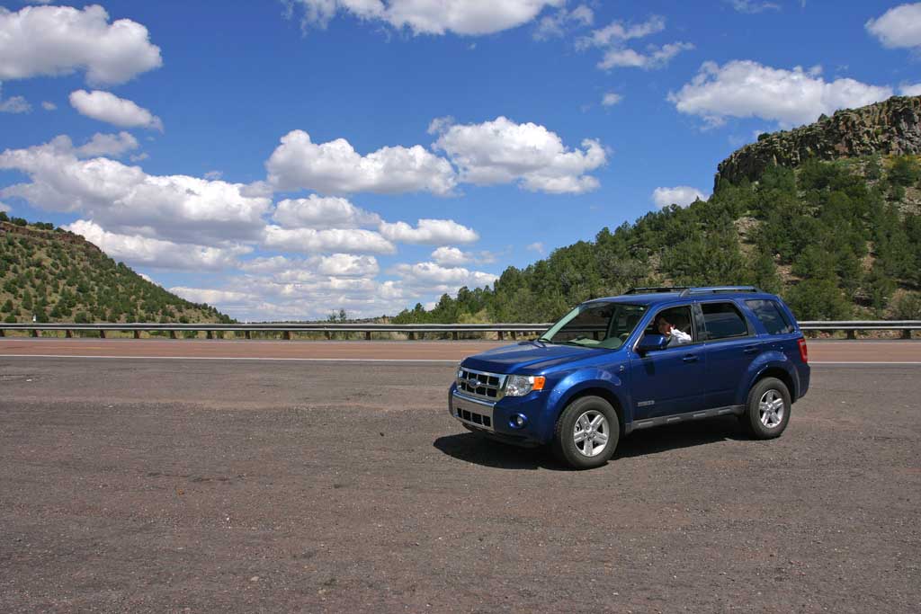
 Shot from a distance of
THE HILL
This is about the middle
1/3 of this steep incline
Shot from a distance of
THE HILL
This is about the middle
1/3 of this steep incline
|
 This was one of the first
major trips with our new Ford
Escape Hybrid!
This was one of the first
major trips with our new Ford
Escape Hybrid!
| | |
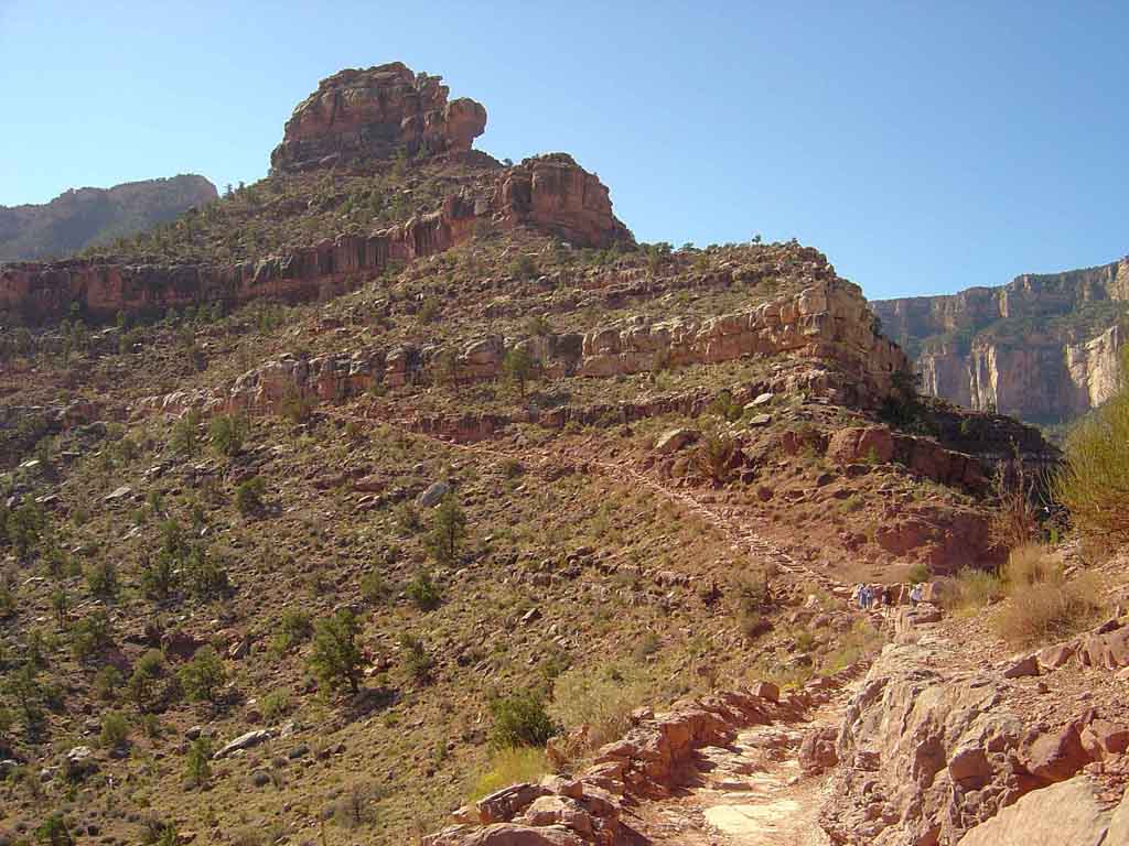
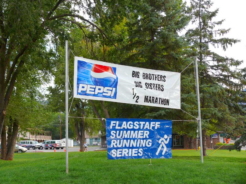
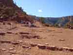
Big Brothers and Big Sisters Half Marathon in Flagstaff
August 11th, 2007
This was another high altitude grueling trail run. Starting at a sizable park in Flagstaff, we ran about a mile out of town onto the
surrounding forest trails. We next ascended to over 8000 feet before it leveled off. At that point it was purlely an off road forest trail
run, crossing meadows, tall stands of poderosa pines and runnng right past the Lowell observatory dome. The temperature was in the mid
to uppper 60s, and was nearly perfect. Then you descend down a narrow dirt road from Lowell very quickly to the pavement and make a wild
dash to the finish line!
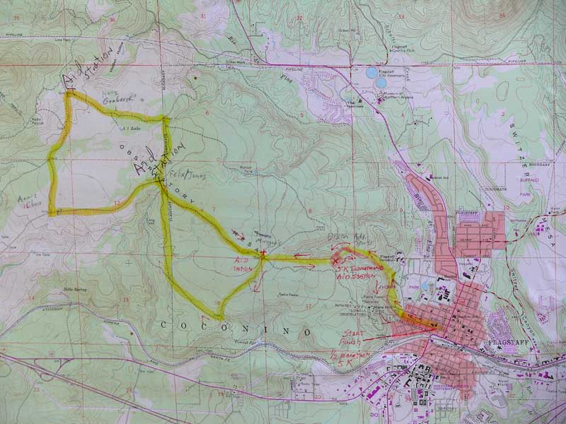
 The posted map of the
trail run
The posted map of the
trail run
|
 At the park, the entrance
sign they put up
At the park, the entrance
sign they put up
|
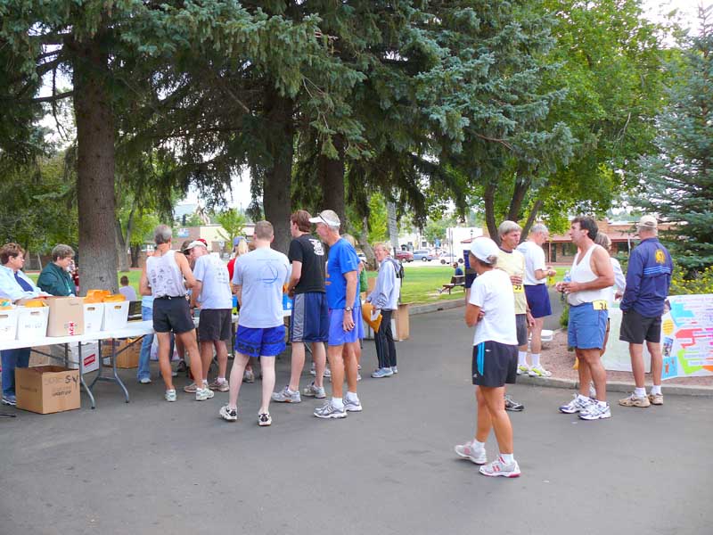
 Registration at 6:30am
to pick up your bags of
running stuff and numbers
Registration at 6:30am
to pick up your bags of
running stuff and numbers
|
 Easy rock and roll music
played from the local
radio station!
Easy rock and roll music
played from the local
radio station!
|
 Starting to gather near
the start line, Im in the
center with white hat
Starting to gather near
the start line, Im in the
center with white hat
|
 Getting very close to race
start, hundreds of runners
gathered.
Getting very close to race
start, hundreds of runners
gathered.
|
 Getting the pre race
lecture on the rules
from the officials
Getting the pre race
lecture on the rules
from the officials
|
 The gun fires and the
race is off !
The gun fires and the
race is off !
|
 Start of the run - you see
me just upper right of
the head of the guy taking
photos in the center.
Start of the run - you see
me just upper right of
the head of the guy taking
photos in the center.
|
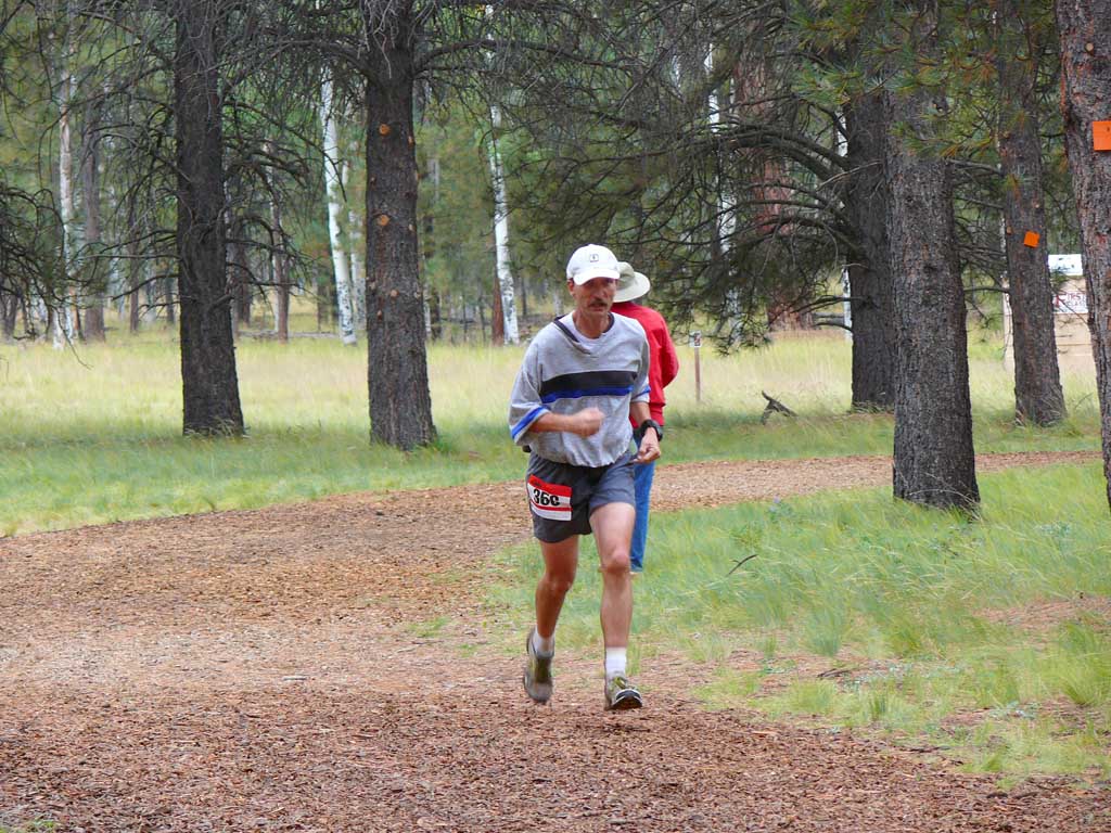
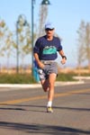
 Small Running shot
by Racepix.com along
the trail, road part.
Small Running shot
by Racepix.com along
the trail, road part.
|
 Another by Racepix
|
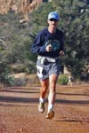
 Mid run, now were blasting
along full speed!
(Racepix)
Mid run, now were blasting
along full speed!
(Racepix)
|
 Shot Dawn took of me
making the final burst
of speed to the finish line.
2:29 I beat my goal by
about 15 seconds.
Shot Dawn took of me
making the final burst
of speed to the finish line.
2:29 I beat my goal by
about 15 seconds.
| | |
Gaspin
in the Aspens Trail Run 15K June 16, 2007
This run was up at the Flagstaff Nordic Center, where some of the best triatheletes in the world train for high altitude. The grueling
run started at 8000 feet elevation and went up gradually for the most part to 8500 feet, then a fast downhill run to the finish. The trail
was very treacherous, large volcanic rocks, large tree branches, and plenty of potholes and ruts. A dozen runners required medical attention
at the finish for cuts and bruises from going too fast on the trail. I did fine, and took it slow enough to take in the amazing forest scenery,
and yet finish with the middle of the pack. I really like trail running! As you can see from the trail shots, most of the trail was pretty smooth
going, and I mostly enjoyed the runs through the dense thickets of thousands of aspen and pine trees.
 The convoluted race
route started at 8000 feet
elevation and went uphill...
The convoluted race
route started at 8000 feet
elevation and went uphill...
|
 Gathering of runners
before the trail run.
Gathering of runners
before the trail run.
|
 At the start line the
runners line up
At the start line the
runners line up
|
 Waiting for the starting
gun! (Chris center)
Waiting for the starting
gun! (Chris center)
|
 The starting gate we
all must pass through
The starting gate we
all must pass through
|
 Were off in a huge
cloud of dust! I am just
below the sign.
Were off in a huge
cloud of dust! I am just
below the sign.
|
 About mid run shot by
a photographer showing
aspens...
About mid run shot by
a photographer showing
aspens...
|
 Running through the woods
full speed ahead!
Running through the woods
full speed ahead!
|
 The Finish line awaits me..
|
 1:40 later the finish of
a very difficult trail run!
1:40 later the finish of
a very difficult trail run!
|
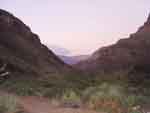
Rim to Rim to Rim Grand Canyon May 18, 2007
Another great 50 mile adventure trail run! No records broken on times, but the weather was fantastic.
South Rim:
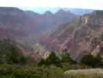
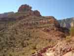
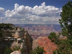 Looking out toward
Cedar Ridge
Looking out toward
Cedar Ridge
|  |
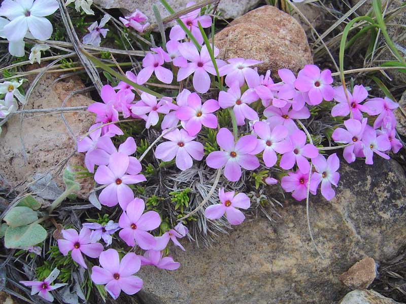
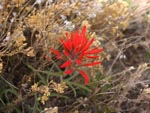 Indian Paintbrush
|
Inside the Canyon:
 Top of the Redwall,
Skeleton Point
Top of the Redwall,
Skeleton Point
|
 Devils Corkscrew
|
 Looking from the bridge
over the Colorado
Looking from the bridge
over the Colorado
|
 Hiking across
the Colorado
Hiking across
the Colorado
|
 Finally - the other
side of the river
Finally - the other
side of the river
|
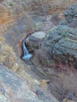 Many beautiful
falls on the way up
Many beautiful
falls on the way up
|
North Rim:
Miami Copper Crawl April 22, 2007
An early morning start down town in the small Miami copper mining town was thwarted by rains, and when the clouds cleared at
1pm, they decieded we would go for it. We ran up a very steep hill at first, along back streets up into the trails in the hills. Most of this
run is a steep up hill trail run, and after the first very steep incline which nearly no one could actually run up it, the ambulance was parked
at the top of the hill! Only a few people fell and were hauled off, but when we reached the summit of the run, the snow line
was right there - it had also snowed on the top of the hill we were running up. A very fast run down as you might expect, and I think I ran
the fastest downhill I ever ran in my life. Completion time for me was 1h xxxx minutes.
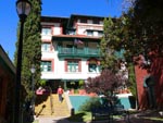
Sedona Half Marathon February 10, 2007
This run which was my second half marathon ever, was one of the most scenic runs ever, with the bright red rocks
of the Sedona area as a backdrop. After starting in the middle of town, we headed up Dry Creek Canyon road, up past
Coffee Pot Rock, and turned left at the T. After a few miles, we turned around and headed back the way we came
onward to the finish line. This was still a discovery type run for me, still learning how to pace myself for hills and long
distances. Finish time was 2:35, not stellar, but I learned a tremendous amount!
HOME
|