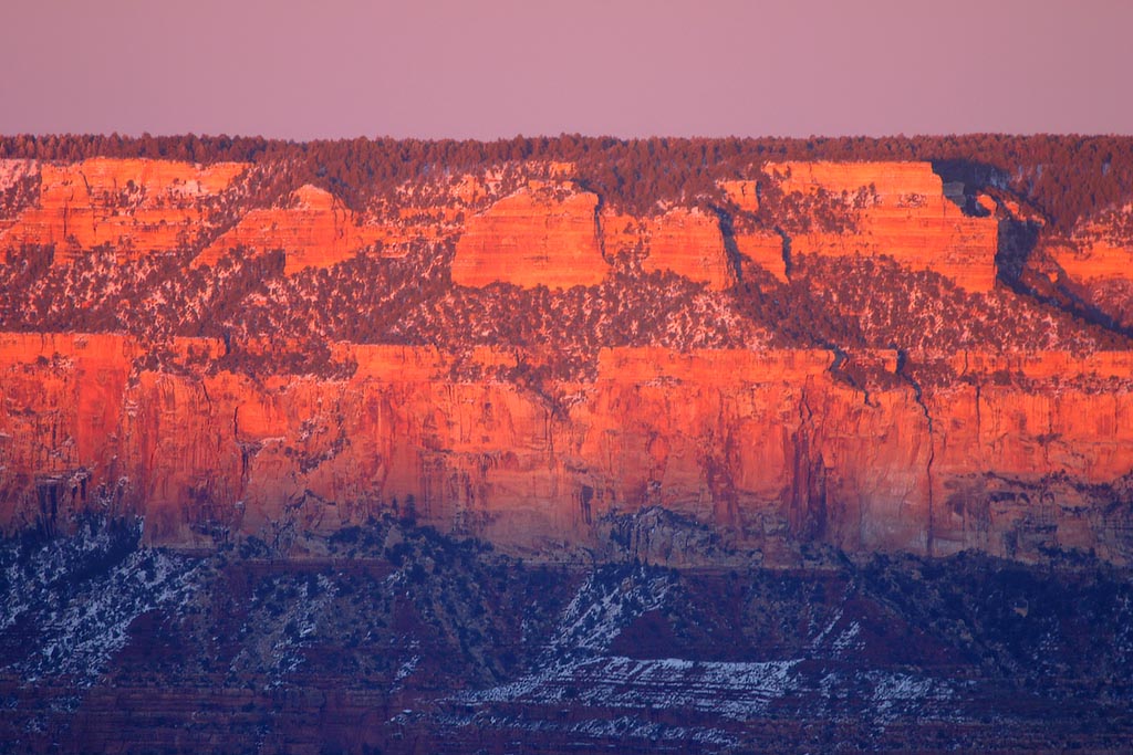
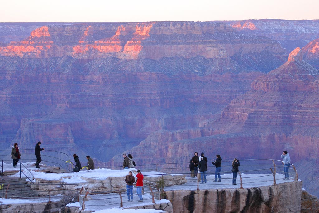
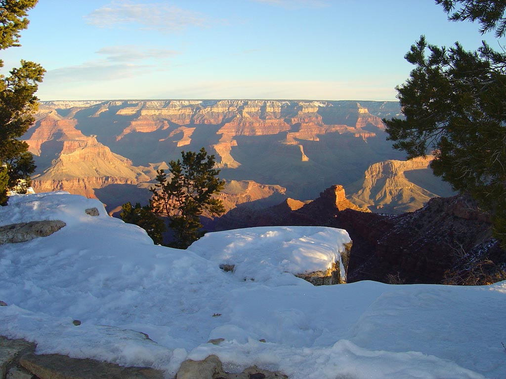
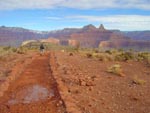
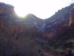
 At the top of the south
rim, the sun is just
coming up
At the top of the south
rim, the sun is just
coming up
|
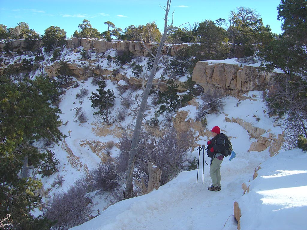
 Dawn dressed for
some ice cold hiking!
Dawn dressed for
some ice cold hiking!
|
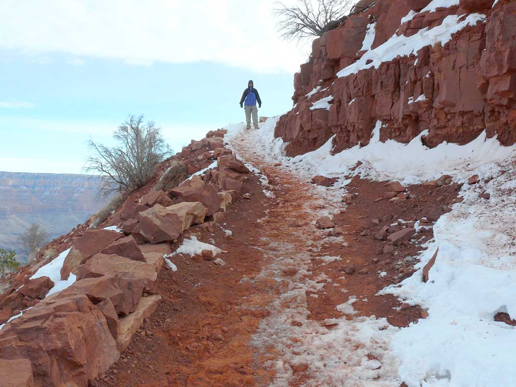
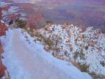
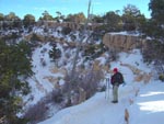 Top of Kaibab trail, with
about 6 inches of snow
on the trail
Top of Kaibab trail, with
about 6 inches of snow
on the trail
|
 We were ready!
|
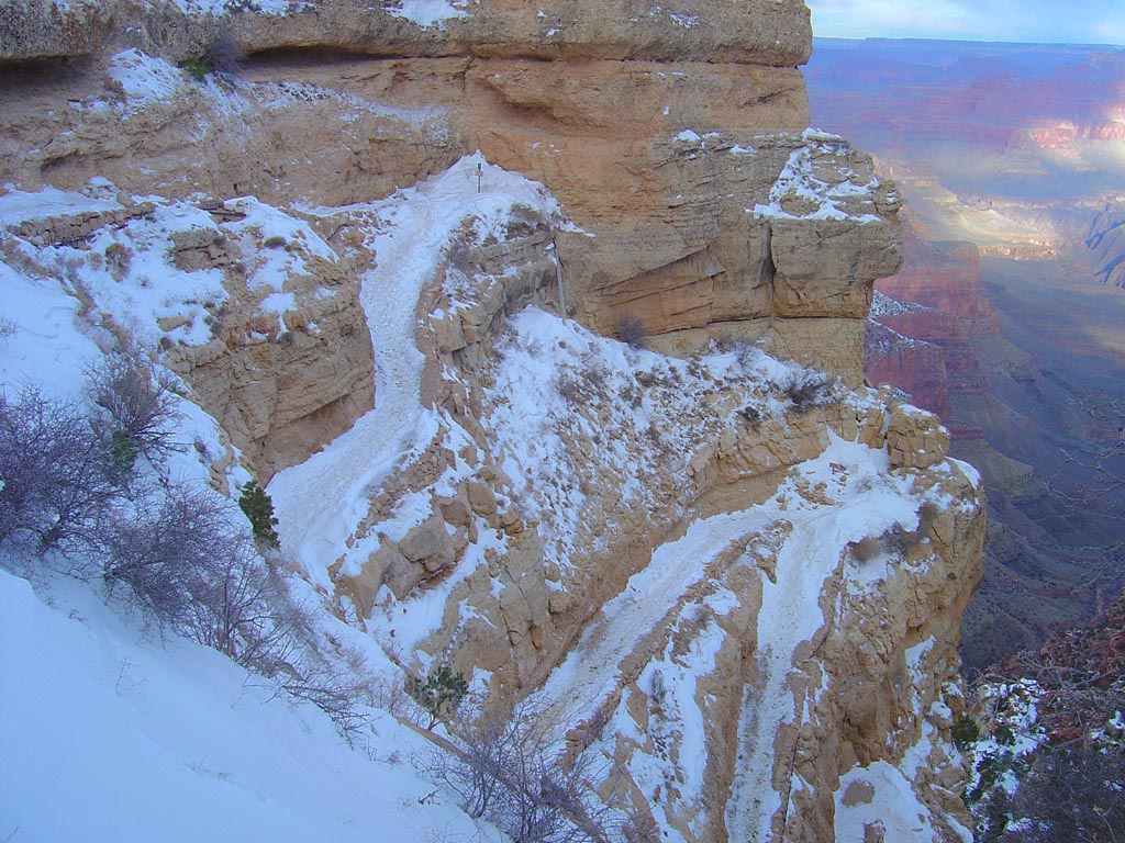
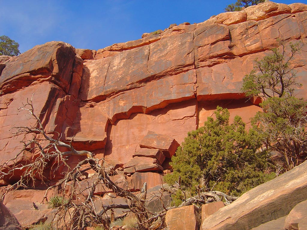
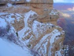 The icy trail ahead
as it drops very rapidly
through the Kaibab
Limestone
The icy trail ahead
as it drops very rapidly
through the Kaibab
Limestone
|
 On the trail looking down
inside
On the trail looking down
inside
|
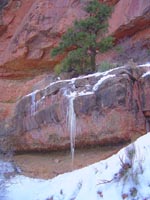 Large icicles starting
to form on the rock ledges
Large icicles starting
to form on the rock ledges
|
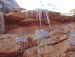
 Gigantic 20 foot tall
wall of icicles!
Gigantic 20 foot tall
wall of icicles!
|
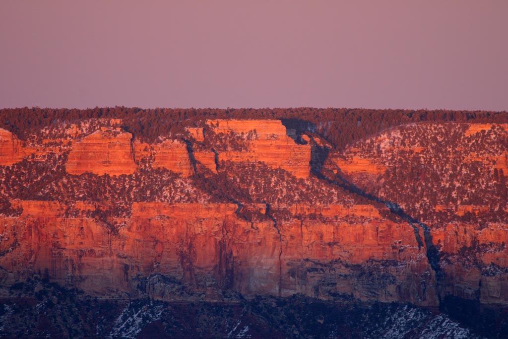
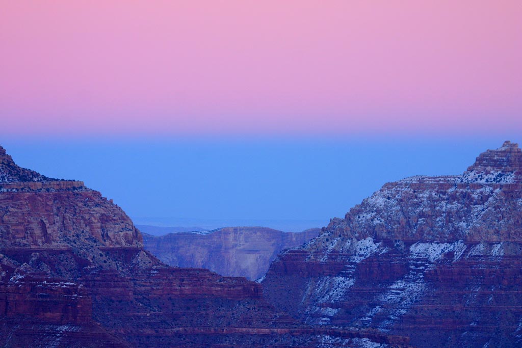
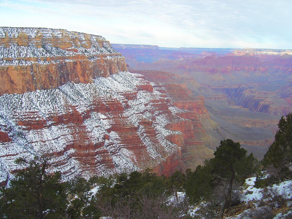
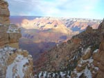
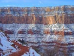
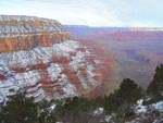 And now you can see the
full extent of the snow
level, well into the
Redwall Limestone.
And now you can see the
full extent of the snow
level, well into the
Redwall Limestone.
|
 Coconino Sandstone
vista
Coconino Sandstone
vista
|
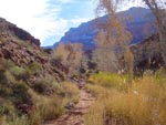
 Typical trail scene, it
warms up pretty
quickly as you descend
Typical trail scene, it
warms  up pretty
quickly as you descend
|
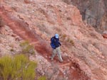
 Here I am coming down
in the last of the ice on the
trail
Here I am coming down
in the last of the ice on the
trail
|
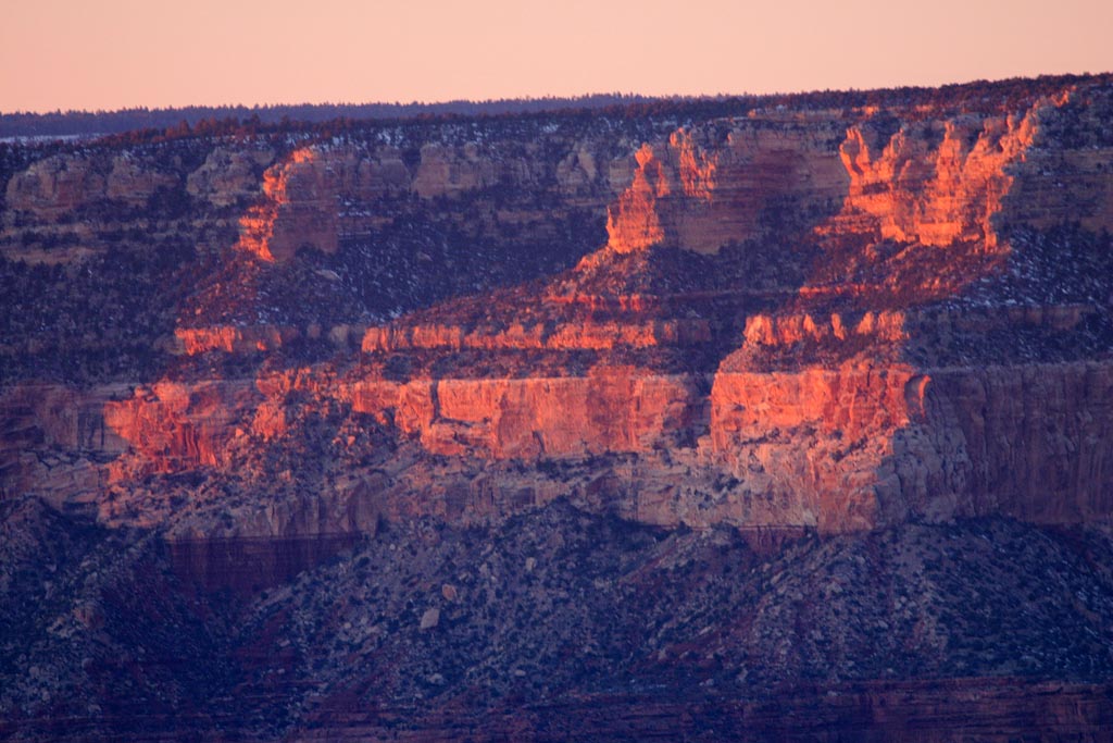
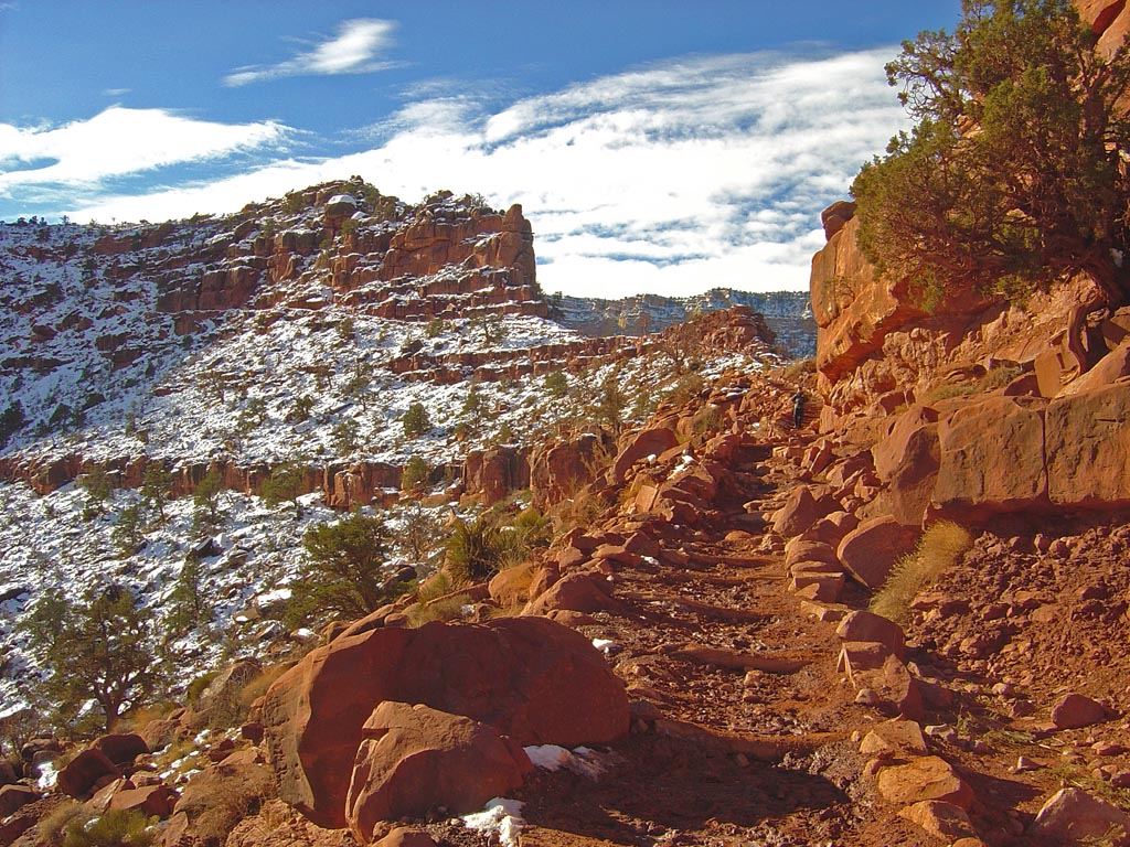
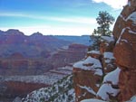
 Spectacular snow scenery
from the trails ahead
Spectacular snow scenery
from the trails ahead
|
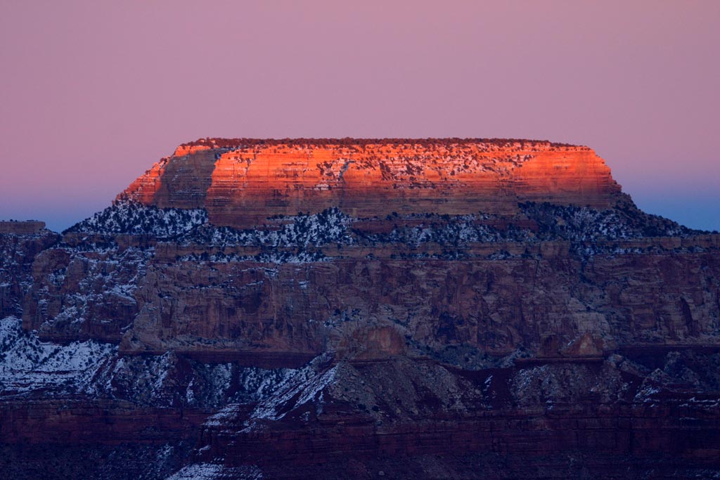
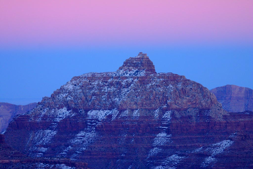
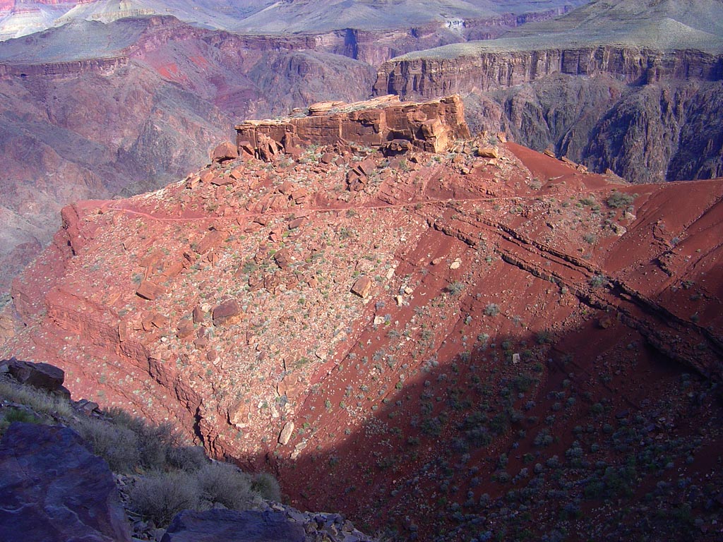
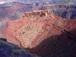
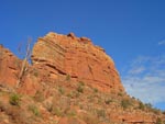 ONeil butte, in the
Supia formation
ONeil butte, in the
Supia formation
|
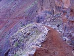
 Dropping down through the
red beds of the supai group
Dropping down through the
red beds of the supai group
|
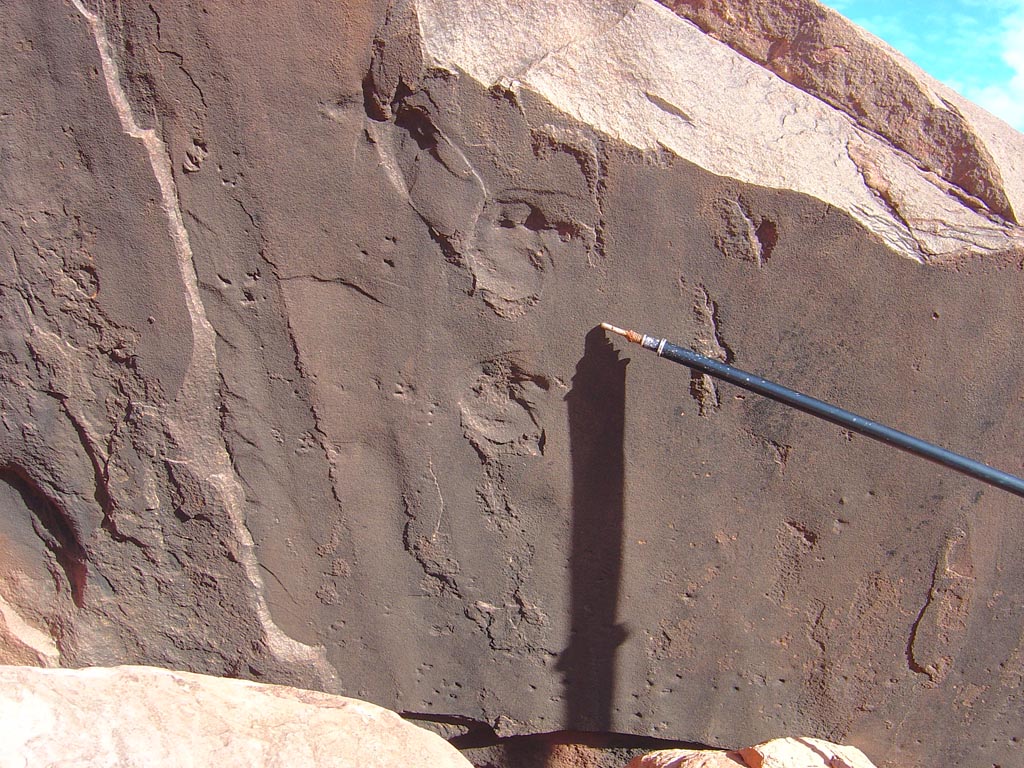
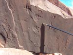 Fossil trackways in the
Supai are from 280
million year old reptiles
Fossil trackways in the
Supai are from 280
million year old reptiles
|
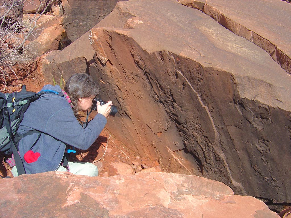
 Photographing the huge
mammal like reptile
footprints from
ancient times
Photographing the huge
mammal like reptile
footprints from
ancient times
|
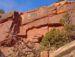 Large detaching blocks of
rock in the Supai
Large detaching blocks of
rock in the Supai
|
 Huge supai icicles
|
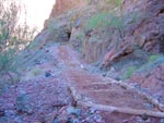
 Nearing the end of the
Supai group, we head
right for the top of the
Redwall Limestone.
Nearing the end of the
Supai group, we head
right for the top of the
Redwall Limestone.
|
 At the top of the Redwall,
Dawn turns around for the
return trip, and I continue
onward to the bottom.
At the top of the Redwall,
Dawn turns around for the
return trip, and I continue
onward to the bottom.
|
 Heading down to the bottom
through the deep brick red
shales of the Hakati
Heading down to the bottom
through the deep brick red
shales of the Hakati
|
 Dropping through the
1 billion year old Hakati
shale.
Dropping through the
1 billion year old Hakati
shale.
|
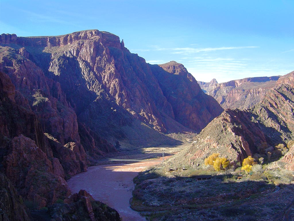
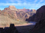
 Now I can see the river below
from within the bottom of the
Hakati Shale.
Now I can see the river below
from within the bottom of the
Hakati Shale.
|
 Now in the metamorphic
Vishnu Schist, the bridge
I must cross is below
Now in the metamorphic
Vishnu Schist, the bridge
I must cross is below
|
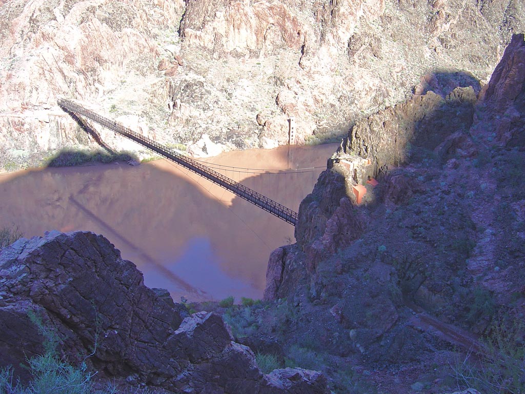
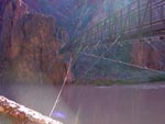
 Approaching the tunnel
that leads to the bridge
Approaching the tunnel
that leads to the bridge
|
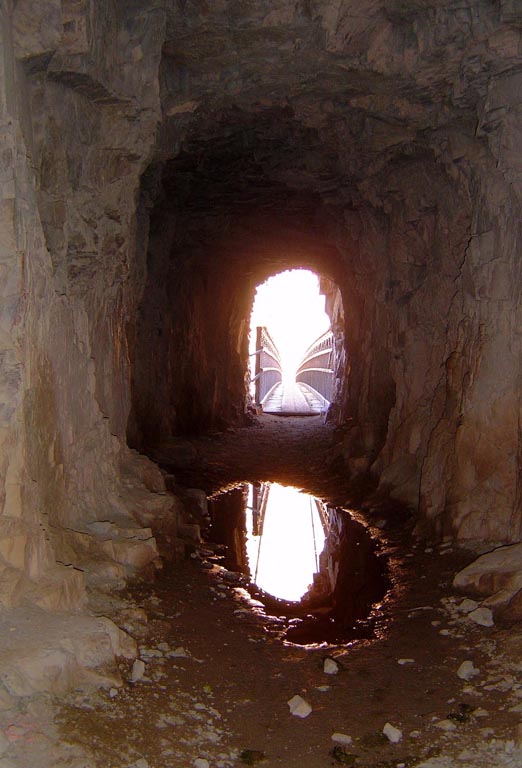
 Just inside the tunnel, you can
see the bridge on the other side.
Just inside the tunnel, you can
see the bridge on the other side.
|
 After crossing the bridge,
this is looking back across
the Colorado River!
After crossing the bridge,
this is looking back across
the Colorado River!
|
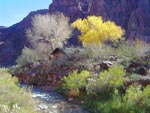
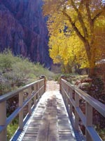 After passing through Bright
Angel campground on the other
side, you cross the creek
After passing through Bright
Angel campground on the other
side, you cross the creek
|
 Crossing the creek in the
middle of the bridge.
Crossing the creek in the
middle of the bridge.
|
 You then cross this bridge -
Silver bridge to get back to the
south side of the canyon again
across the Colorado
You then cross this bridge -
Silver bridge to get back to the
south side of the canyon again
across the Colorado
|
 Heading up toward Indian
gardens on the south side.
Heading up toward Indian
gardens on the south side.
|
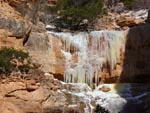
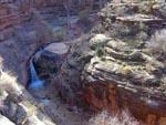 So many waterfalls from
the snow melt!
So many waterfalls from
the snow melt!
|
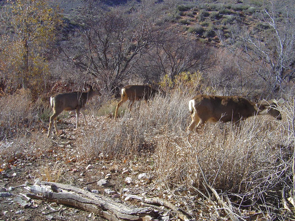
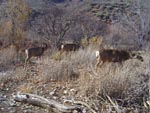 Just before Indian gardens
I spotted these deer feeding
Just before Indian gardens
I spotted these deer feeding
|
 The last shot - the last
rays of the sun before I head
up to the top, many thousands of
feet above me. Its about a six
hour hike to do the 19 mile
round trip.
The last shot - the last
rays of the sun before I head
up to the top, many thousands of
feet above me. Its about a six
hour hike to do the 19 mile
round trip.
|