|
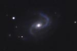
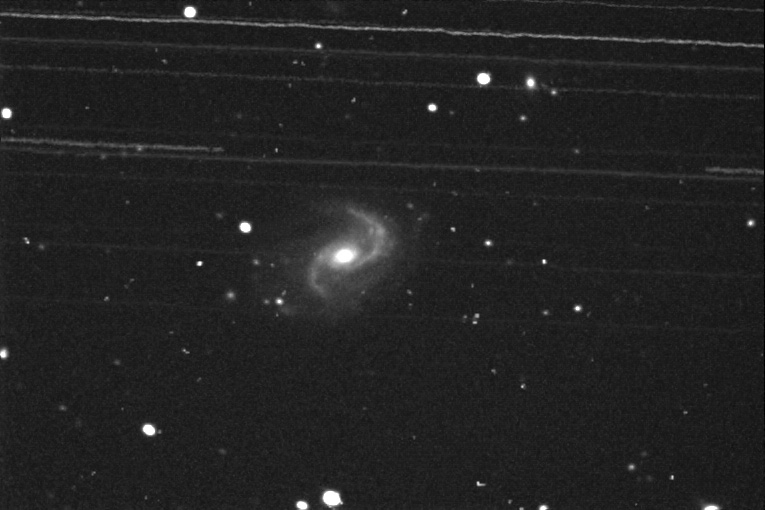
No less than 15 Geosynchronous Satellites screamed through the field during the 60 minutes total integration represented in the image above. This came as quite a surprise, since normally one out of every dozen or less images have faint satellite trails. Little did I know when I planned an evening shooting this gem in Cetus, that its declination was -5 degrees. For me, at latitude 34 degrees north, that puts the two degree wide band of geosynchronous satellites that are 28,000 miles out - hundreds of them, right over my target. Here is the final color image after much processing to remove the satellite trails:  Instrument: 12.5" f/5 Home made Newtonian Platform: Astrophysics 1200 QMD CCD Camera: SBIG ST7E w/Enhanced Cooling Exposure: L = 60 Filters: Location: Payson, Arizona Elevation: 5150 ft. Sky: Seeing FMHW = 2.2 arcsec, Transparency 6/10 Outside Temperature: 0 C CCD Temperature: -35 C Processing: Maxim DL, Photoshop, AIP4WIN, PW Pro.
|
||
|
|
||
|
FastCounter by bCentral |
